Explore the AT Pennsylvania - Appalachian Trail Conservancy
DIRECTIONS:
GPS Coordinates 40.50665, -76.37720
 |
| Parking off of Route 645 |
TRAIL MAP:
Appalachian Trail PA Sections 1-6 Map - Keystone Trails Association
HIKE DISTANCE: 10.3 miles (5 miles each way)
THE HIKE:
I had planned on hiking in the Catskills but with four weather forecasts changing at the last minute and not agreeing on anything other than GALE FORCE WINDS!!!!! I decided to hike a section of the AT that I needed to connect to two sections previously hiked in Pennsylvania:
 |
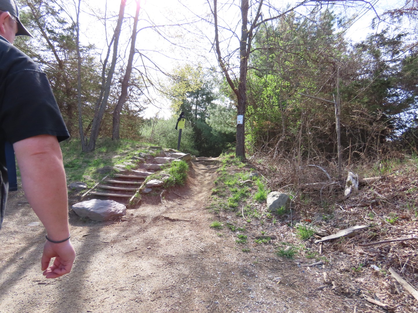
| Heading south on the Appalachian Trail. |
 |
| Amazingly, about 4 miles of this hike consisted of smooth trail surface. Only about 1 mile was the pointed rocks more typical of the AT in PA. |
 |
| There were lots of black-and-white warblers and eastern towhees. The app picked up a hooded warbler also but I never saw it. |
 |
| There were still winter views along the way but I expect the leaves will completely conceal that within the next week or so. |


 |
| Hermit Thrush |


 |
| Taking the blue trail to the left to check out the William Penn shelter. |


 |
| This shelter has a loft sleeping area with windows. |
 |
| View from the shelter. |
 |
| Heading back to the AT. |


 |
| Another hermit thrush. |
 |
| Common Blue Violet |

 |
| The rocks begin. |
 |
| Rue-anemone |

 |
| Meeting up with where I left off back in 2013. |
 |
| To the left, Little Mountain Overlook. |


 |
| Before returning on the AT, went a few feet out on the abandoned power cut. |
 |
| It looks clear going down but I remember it fizzling out resulting in a bushwhack. |
 |
| Back to the rocky part of the AT to retrace. |
 |
| I happened into an area where there were about a dozen black-and-white warblers flitting around every which way. I ended up with 55, yes fifty-five pictures like this one of branches and trees where I swear a warbler had been a nanosecond previously. |
 |
| I did, however, manage a few shots that actually contained a bird. |


 |
| White-throated Sparrows |

 |
| The wind kept blowing leaves in front of the butterfly while I was trying to take pictures. |