DIRECTIONS:
GPS Coordinates 41.97279, -74.19879
 |
| Ashokan Station Trailhead Parking |
TRAIL MAP:
HIKE DISTANCE: 10.4 miles (5.2 miles each way)
THE HIKE:
 |
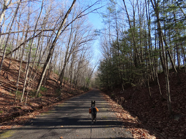
| From the kiosk at the center of the parking lot, we turned right heading west. |
 |
| I had sprained my ankle two weeks prior so I needed an easy hike since my ankle wasn't quite 100% yet. |
 |
| Straight ahead is the Boiceville Station Trailhead. This was out turn around point. |
 |
| Side trail back to the parking lot. |


No comments:
Post a Comment