

Woosamonsa Ridge - Friends of Hopewell Valley Open Space
DIRECTIONS:
GPS Coordinates 40.34051, -74.83558

TRAIL MAP:
Woosamonsa Ridge Preserve Map - New Jersey Trails Association
HIKE DISTANCE: 2.7 miles
Hiked together with the Pennington Loop Trail - 3.4 miles (10 mile drive)
THE HIKE:
 |
| The kiosk arrows show the trail going either way but that actually is not the case. To the right the trail goes a short distance to Woosamonsa Road. The white trail actually starts to the left of the kiosk. |

 |
| Passing by the red trail on the left; I'd be returning on that red trail. |
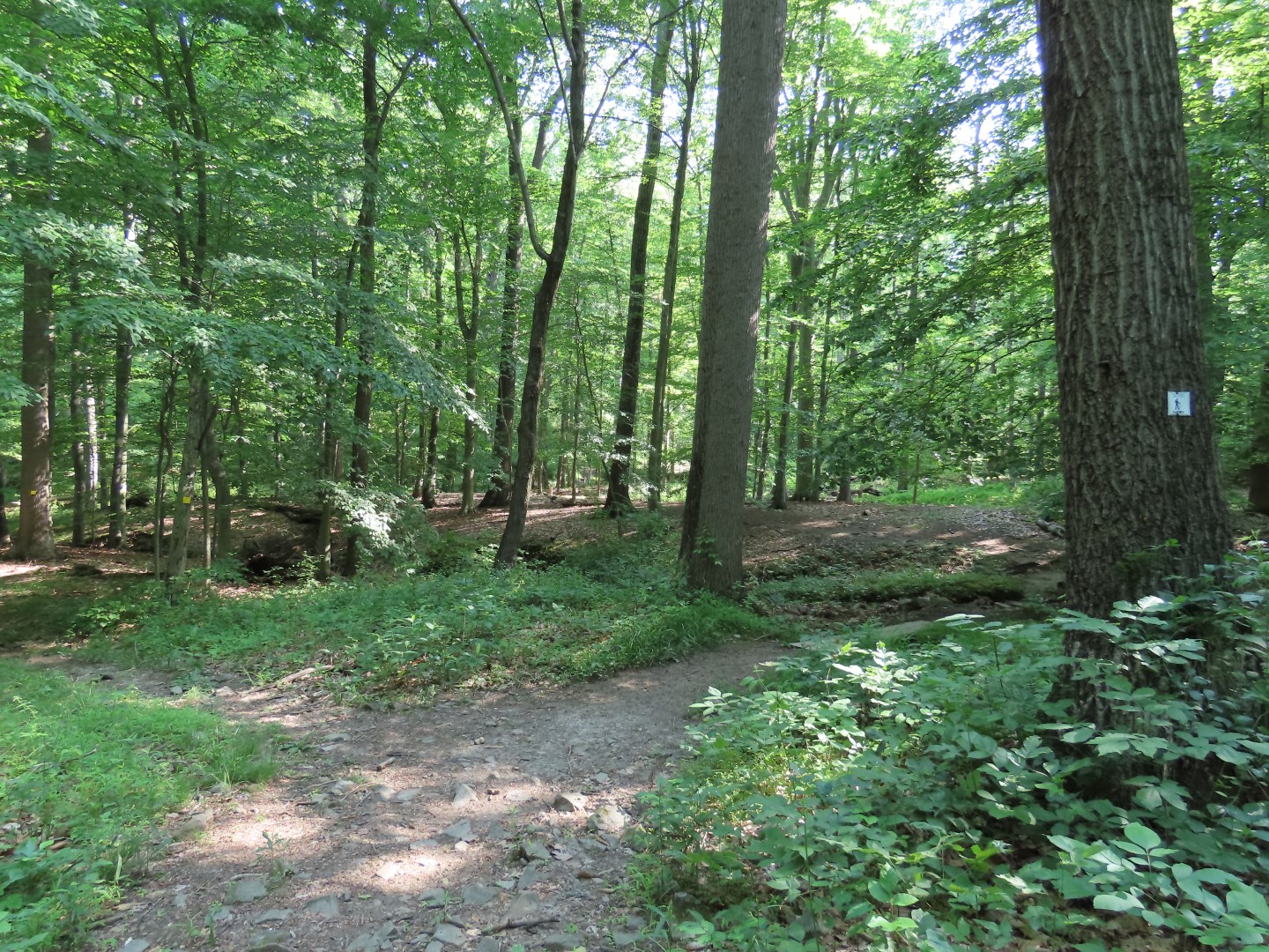 |
| Passing the yellow trail. |

 |
| There were a couple of minor creek crossings but everything has been dry lately. |


 |
| The white trail ascends to ... |
 |
| ... a bench at the top for a break. |
 |
| Continuing on white ... |
 |
| ... to left on blue to loop around back to this point, take blue again, then head back on red. It looks very overgrown at this intersection but that is only in the sunlight. The trail soon clears out. |
 |
| The blue trail follows along Jacob's Creek. |

 |
| At the end of blue, right on red. |

 |
| Red runs into white, staying on white to continue the loop clockwise. |


 |
| Back on the same blue trail as before. |


 |
| At red where I turned right previously, now left on red to return. |
 |
| Being watched. |


 |
| Red runs into white where I turned right ... |
 |
| ... back to the parking lot. |
Hi Daniela, glad to see you are back hiking. Wishing you well to get back to full hikes with Brodie. Christine
ReplyDeleteThanks Christine.
Delete