Neversink River Unique Area - New York DEC (not yet updated with new trails on the western side)
Neversink Gorge Unique Area Facebook Group - lots of information including the new trails
DIRECTIONS:
GPS Coordinates 41.55482, -74.68137
 |
| Cold Spring Trailhead Parking |
TRAIL MAP:
Neversink Gorge Trail Map - New York New Jersey Trail Conference (free map)
HIKE DISTANCE: 11.2 miles
THE HIKE:
Having already hiked the trails on the eastern side of the gorge before they became very popular, I had the old map of the western side in my hiking file but there wasn't enough trail mileage to warrant the trip. Then I happened across the new map showing the newly opened Connector Trail as well as the Fish Hatchery Trail that had now also become available for hiking.
 |
| From the parking lot the red Cold Spring Trail starts to the right of the kiosk. |
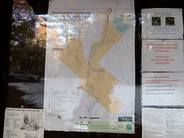 |
| The kiosks have updated maps showing the new trails. |
 |
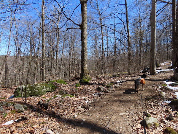
| There had just been a lot of snow melt as well as rain the previous day so I expected lots of wet areas. |
 |
| The brand new yellow connector trail on the left - that would be our return route. |
 |
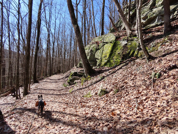
| Continuing on red with winter views. |
 |
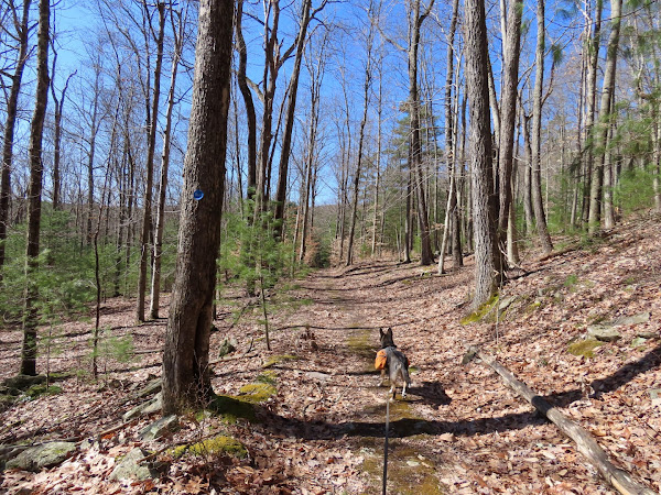
| At the end of red, right on blue for an out-and-back to the Eden Road parking lot. |
 |
| There were lots of branches down on this trail so I removed them as we went along - made for smooth hiking on the way back. |
 |
| A couple of areas of blow down/rock hop combos which were doable. |
 |
| You can hear the Neversink River roaring below but only catch glimpses of it along the way down to the left. |
 |
| The trail register for ... |
 |
| ... the Eden Road trailhead which was our turn around point. |
 |
| Heading back on blue. |
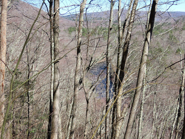 |
| Neversink River down below. |
 |
| Spring has arrived. |
 |
| Passing by where we came off of red, continuing straight on blue. |
 |
| Uh oh. The picture never looks like it does in real life. The water was raging and there was no way to cross without going in (note the look on Brodie's face) so ... |
 |
| ... we went upstream to find a way across. |
 |
| It was very scenic and I didn't mind the detour at all. |
 |
| We found a way over ... |
 |
| ... then bushwhacked back on the opposite side... |
 |
| ... meeting back up with the blue trail. That was the only tricky water crossing. The rest had bridges. |
 |
| At a clearing the red Fish Hatchery Trail is to the left but we continued straight a short distance downhill ... |
 |
| ... to the Neversink River. |
 |
| Heading back to continue on red. The red arrow was on the ground so I rigged it back up the best I could. |
 |
| The Fish Hatchery Trail is more of a road and not quite as scenic as the rest of the hike although there is lots to see along the way. |
 |
| Some ruins along Eden Brook on the right. |
 |
| Crossing over Eden Brook on a bridge. |
 |
| With Eden Brook on the left, we went over that way for a break by some pretty cascades. |
 |
| It's expected (and demanded) at every single break. |
 |
| There are all kinds of NO TRESPASSING signs on the right. Got the message. |
 |
| On the left a series of ponds and dams along the way, the remnants of the old fish hatchery. |
 |
| A left turn just before the gate at Cold Spring Road... |
 |
| ... leads to the Fish Hatchery parking area. |
 |
| A left through the parking lot to the yellow Connector Trail. |
 |
| This trail is so new some of the streamers are still up. |
 |
| Bugs are waking up. |
 |
| Yellow ends at red where we turned right to retrace. |


