ABOUT THE PARK:
DIRECTIONS:
GPS Coordinates 37.72808, -92.85536
 |
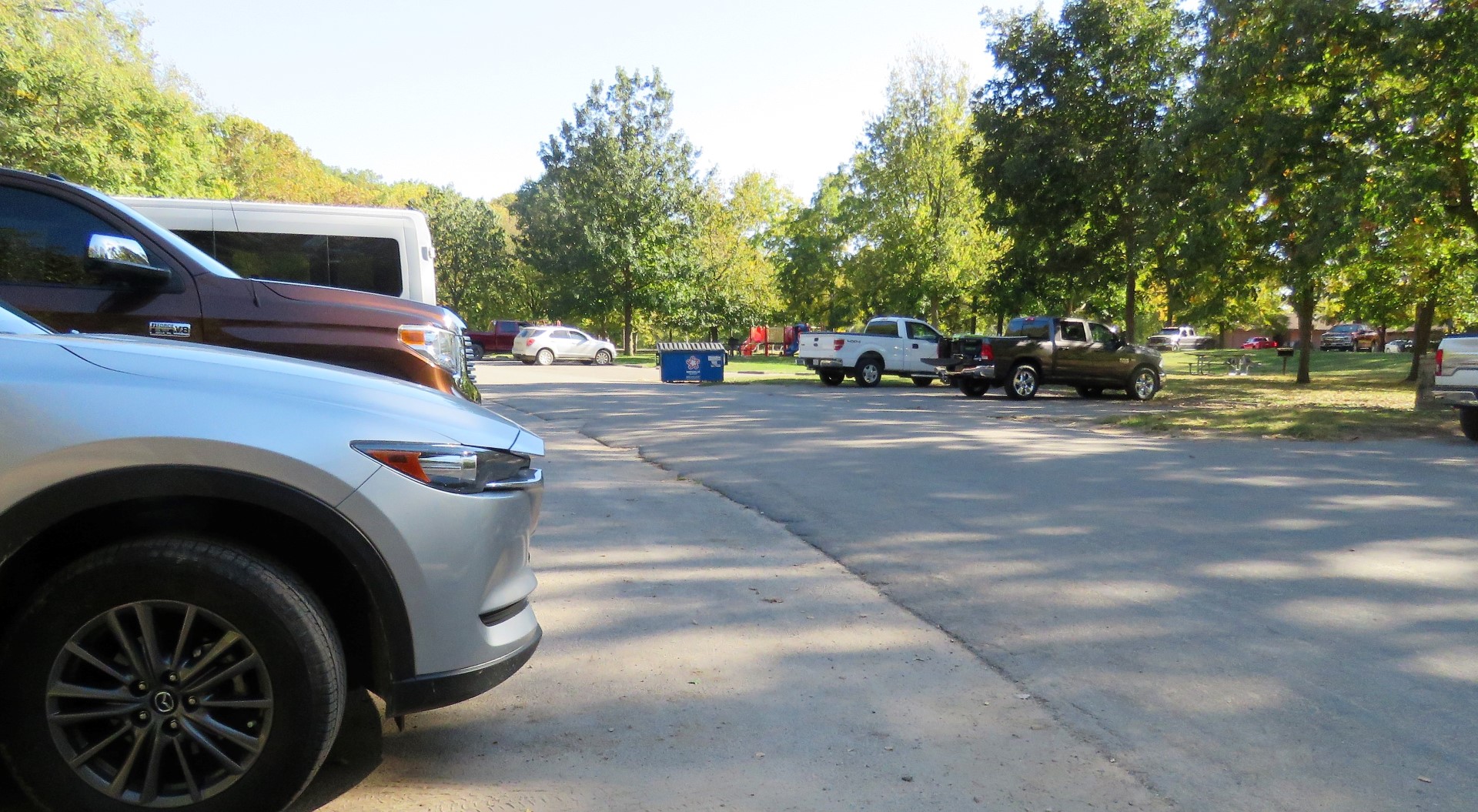
| There is parking, literally everywhere, mostly used by the many, many fishermen. I parked just before Whistle Bridge. |
TRAIL MAP:
Missouri State Parks have lovely maps in park kiosks but they are not online. They only have
maps for each individual trail online which makes it very complicated to combine multiple trails into a hike.
.jpg) |
| The full map only available in the park. |
HIKE DISTANCE: 11.8 miles
THE HIKE:
 |
| Starting off by crossing Whistle Bridge. I have never in my life seen so many people fishing - they were literally everywhere. |
 |
| The other side of the bridge, the trail head for the Whistle Trail. |
 |
| This offers the best water views because there is no walking along ground level with all of the fishermen. |
 |
| There is a steep climb up ... |
 |
| ... for a really nice view from above. |
 |
| CCC Bridge - we would be crossing that on the way back. |
 |
| On to the Bridge Trail. |
 |
| The Bridge Trail is named for this wooden bridge. |
 |
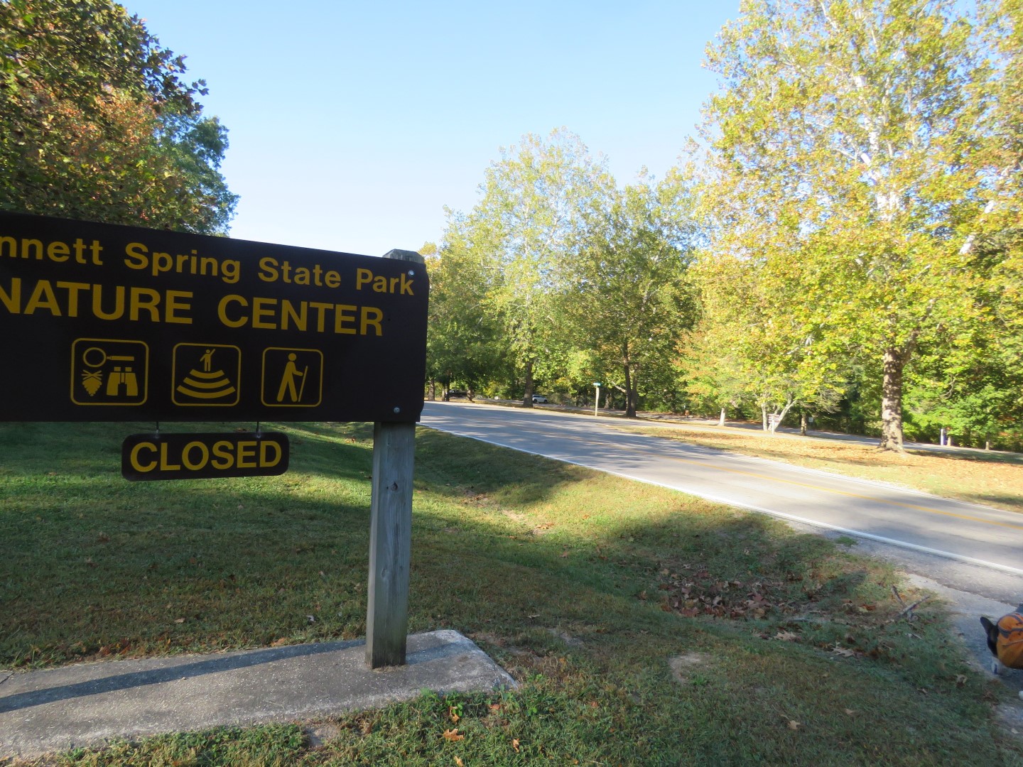
| Coming out behind the nature center where we veered right ... |
 |
| ... then left around the sign, crossing over the road to continue parallel to the road through either parking, or when that became too annoying with a constant coming and going of cars, on the grassy area between parking and the water. |
 |
| Bennett Spring |
 |
| Arriving at the Natural Tunnel Trail parking lot with just one car early on. |
 |
| I filled out a registration card from the box on the right but then noticed there was no slot to stick it into and I was not going to leave all of my personal information for the world to see so I took the card with me. |
 |
| My plan was to start on the Savanna Ridge Trail then on to the Natural Tunnel Trail. |
 |
| Both start together ... |
 |
| ... then split. We turned right on the green Savanna Ridge Trail. |
 |
| There is a shortcut connector trail blazed in white but we ignored that, continuing on the main trail. |
 |
| Turning right on the blue Natural Tunnel Trail. |
 |
| There are supposed to be creek crossings but everything was bone dry. |
 |
| Passing an old cemetery which is fenced off and inaccessible so I zoomed in to see if I could read any of the tombstones. |
 |
| Continuing on. |
 |
| I thought I had missed a turn and doubled back to check but there is no way the trail could have turned where the app and print map said it would as the descent was way too steep. I continued on and the trail eventually did make the turn where the terrain was not steep so the actual trail does not follow the app or the map. |
 |
| All of the woods roads that are marked as service roads are off limits. |
 |
| Coming up on some bluffs ... |
 |
| ... with interesting caves. |
 |
| Natural Tunnel |
 |
| You can go all the way through to the other side. |
 |
| Coming out the other side. |
 |
| There was a little bit of water here with lots of little fish. |
 |
| Turning back to retrace. |
 |
| We had come in from the west side of the trail on the left, now keeping right on the east side. |
 |
| After the gate it is a short distance to ... |
 |
| ... the now busier parking lot. |
 |
| Heading back along the water but now ended up walking between the parking lot and road on the grass since there were way too many people fishing to the left between the water and parking lot where we had walked earlier. |
 |
| Zooming in for a shot of the gauge house... |
 |
| ... some waterfalls and ... |
 |
| ... the dam. |
 |
| Passing by the fish hatchery. |
 |
| I had no interest in looking at the poor souls whose fate was already sealed so I just breezed on by back to where I parked. |
BIRDS IDENTIFIED WITH THE MERLIN BIRD SOUND ID: Each grouping was recorded and identified standing in one place so there were always multiple birds singing. There was almost always a blue jay.
FALL WILDFLOWERS SEEN ALONG THE HIKE:  |
| There was no ID for this one in the US version of the app so it had me switch to the Canadian version and that produced the ID. |


.jpg)
.jpg)


Hi Daniela. Looks like you and Brodie were the only ones hiking. The Natural Tunnel looked interesting. So many people fishing. Just for something to do in Ohio! By the way, I just saw my first Junco this morning (10/13) on my deck. Christine
ReplyDeleteI saw nobody hiking at all until I got on the trail that goes directly to the tunnel. Passed several people on that trail but not really hikers. They just go out to the tunnel and back. I go to hike as many of the trails as I can :) The pictures don't even capture the number of people fishing. It was quite astonishing. So the juncos are back in NJ, too? My yard will probably be full of them when I get home. They like the seeds from that nasty sweet gum tree next door. Those spiky balls fall all over my yard.
Delete