
ABOUT THE PARK:
Sterling Forest State Park, NY - New York State Parks
Sterling Forest State Park, NY - New York State Parks
 |
| There is hunting on the Sterling Ridge Trail side of 17A. This hike is on the Allis Trail which goes through the Doris Duke Wildlife Sanctuary where hunting is not allowed except at the far end of the trail. The boundaries run very close and it's hard to tell exactly where they are. It's smart to wear bright colors regardless. I ran into two lost hikers wearing white t-shirts and khaki shorts. Don't be that guy. |
DIRECTIONS:
GPS Coordinates 41.230245, -74.260684
 |
| Sterling Ridge Trail Parking |
 |
| To park turn off of 17A on to the Stirling Ridge Trail and the parking lot is a short distance in. |
TRAIL MAP:
Sterling Forest Trails Map 100 - NY/NJ Trail Conference
Powered by Wikiloc
HIKE DISTANCE: 8.9 miles (The Allis Trail is just under 4 miles one way.)
THE HIKE:
 |
| Start by walking back out the drive to the parking lot towards Route 17A. |
 |
| The Allis Trail starts directly across Route 17A. |
 |
| The Highlands Trail also follows this route. |


 |
| That blue thing over there looks out of place. |
 |
| That would be balloon #48 of the year. |
 |
| A short distance ahead, another item in the upper right that does not belong. |
 |
| Balloon #49 of the year. |

 |
| Coming up on the gas pipeline. |

 |
| Some sort of thrush. |


 |
| Crossing a power cut. |
 |
| To the left are mountains in the distance ... |
 |
| ... and to the right the New York City skyline. |
 |
| If you go up the service road at the far end of the power cut to the top of the hill ... |
 |
| ... there are some better New York City skyline views. |

 |
| At this intersection ... |
 |
| ... the Doris Duke Trail joins in from the right. |


 |
| Low clouds in the valley view. |
 |
| Entering the last section of the trail that does go through a hunting area. |


 |
| The Doris Duke Trail leaves to the right but staying with it just a few steps ... |
 |
| ... leads to an overlook. |

 |
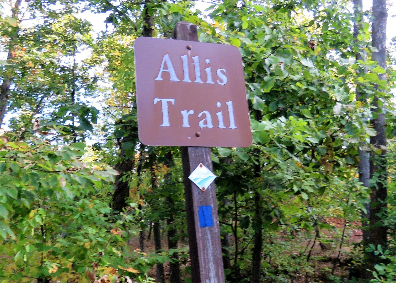
| Back on the Allis Trail. |
 |
| An overlook on the Allis Trail just before ... |
 |
| ... the end of the trail at the Appalachian Trail, our turn around point. |


 |
| Meeting back up with the Doris Duke Trail. |


 |
| Instead of continuing straight where the Doris Duke Trail leaves to the left, we turned left on the Doris Duke Trail to go about a quarter of a mile to an overlook. (This is where the lost hikers went wrong. They intended to turn left here but ended up going straight where I found them later 2 miles away from where they were supposed to have turned.) |

 |
| Hickory Tussock Moth Caterpillar |
 |
| At the overloook. |

 |
| Back at the intersection turning left on the Allis Trail to continue retracing. |


 |
| In this gorgeous pine area I noticed a very well-defined unmarked trail to the right ... |
 |
| ... so being a little low on mileage, decided to check it out. |
 |
| Female Black-throated Blue Warbler passing through on her migration south. (ID compliments of "What's This Bird?" Facebook group.) |
 |
| Checking my track it looked like this trail might meet back up with the Allis Trail so we continued on. |


 |
| Turns out this trail veered away and not knowing where we would end up, felt it was best to turn back. |


 |
| Back on the Allis Trail. |
 |
| A partial view of Greenwood Lake along the way. |


 |
| The trail follows Route 17A closely for the next 1.6 miles so there is traffic noise but it didn't seem to bother me. The forest is a pretty distraction. |

 |
| Crossing over Route 17A to the parking lot. |

 |
| I was surprised to find only two other cars in the lot. |
 |
| While I was at the back of my car changing shoes this adorable little bird landed on a branch straight in front of me. I had to VERY carefully reach behind me and feel for my camera that was already in the bag. I was able to retrieve it without startling the bird and she sat there so long my arms were getting tired from holding up the camera taking her picture. |
 |
| Turns out this is a female Blackpoll Warbler on her way to wintering grounds east of the Andes in South America. (ID compliments of "What's This Bird?" Facebook group.) |
 |
| What a nice treat at the end of the hike. Safe travels little bird! |
In looking back at the Doris Duke Loop hike that Shawnee and I did on December 17, 2014 I noticed that I had taken a couple of pictures in the exact same spots on this hike along the portion of the Allis Trail where the Doris Duke Trail overlaps.


 |
| It looks like the cairn was moved to the right since 2014. |
No comments:
Post a Comment