ABOUT THE PARK:
Weiser State Forest - Pennsylvania DCNR
Haldeman Tract Brochure - Pennsylvania DCNR
DIRECTIONS:
GPS Coordinates 40.535956, -76.783397
 |
| Huge parking lot behind field headquarters and next to Rowland Picnic Area. |
TRAIL MAPS:
Haldeman Tract Brochure - Pennsylvania DCNR
Weiser State Forest Pubic Use Map - Pennsylvania DCNR
 |
| Snapshot of the inset from the huge public use map file. |
HIKE DISTANCE: 10 miles
THE HIKE:
 |
| Starting at the gated gravel road at the far end of the parking lot which is ... |
 |
| ... the Iron Mine Trail. The orange diamond indicates that this is a snowmobile trail. |
 |
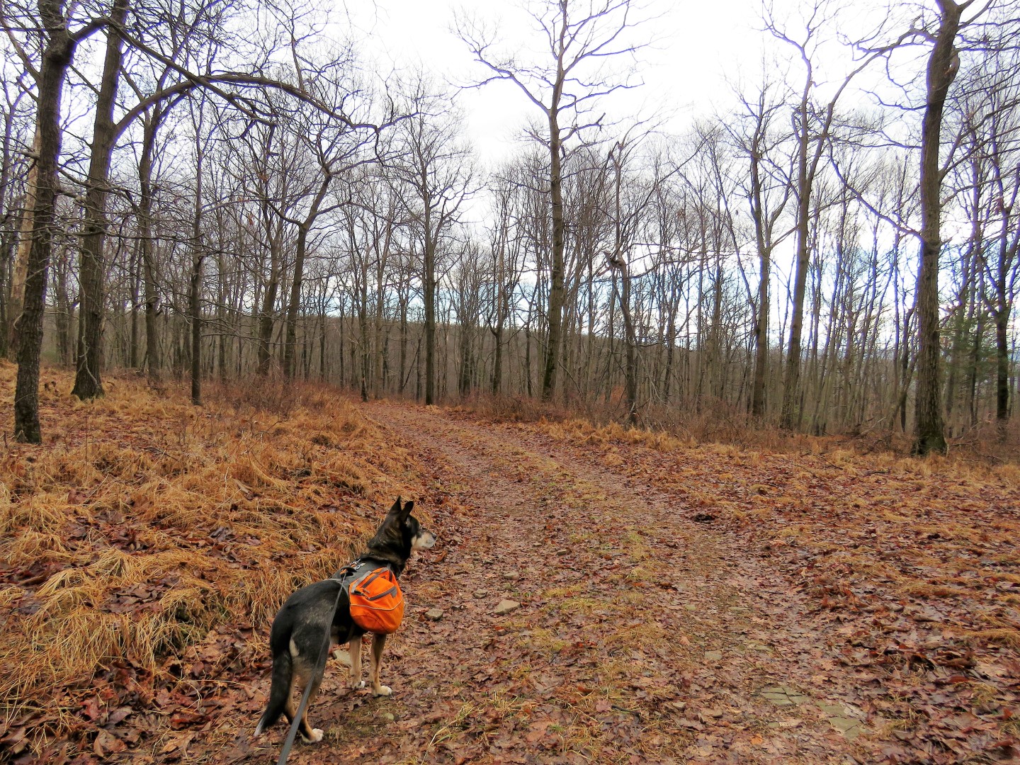
| Right on the Deep Hollow Trail. We'd be returning via the Iron Mine Trail on the left. |
 |
| The Deep Hollow Trail ascends steadily. |
 |
| The creek in Deep Hollow down below can be heard all along the way. |
 |
| The gravel road makes a horseshoe bend to the right ... |
 |
| ... with the part of the trail we had just been on in the distance and the creek down below. |
 |
| Getting a little steeper with winter views appearing higher up. |
 |
| Don't ask me how I see them because I honestly don't know. I just stop and turn and ... |
 |
| ... there's a balloon. It's like a balloon 6th sense. I swear they find me. This would be #4 of the year, overall #200 since I started keeping track in November 2015. |
 |
| Getting higher. |
 |
| I had to keep turning around to see the views behind me. Might have been better to do this hike in the opposite direction. |
 |
| At the top a fork ... |
 |
| ... where we turned right on a footpath that led directly to ... |
 |
| ... views at the hang gliding launch site. |
 |
| Seems there have been a couple of fatalities here. |
 |
| Continuing on past the gate ... |
 |
| ... to a right on the Rim Trail. |
 |
| The Rim Trail starts out as a grassy woods road. |
 |
| A weather station in a field on the left. |
 |
| Some winter views along the way. |
 |
| Then there is that chunky gravel that is not so pleasant to walk on. But I have to say after 1-2 inches of rain the day before on top of snow melt, I was looking for a hike where we would not be wallowing in mud and there was no mud on this hike. |
 |
| Ahhh, the end of the chunky gravel. |
 |
| And back to grassy woods road, still never any mud. I suppose the wet low areas had been filled in the gravel. |
 |
| After a little over 4 miles of woods road, time to get on a hiking trail; left on the Wolf Pond Trail. |
 |
| This is a multi-use trail for hikers, mountain bikes and horses. No snowmobiles allowed. |
 |
| There are some rocky stretches but they alternate with smooth trail. |
 |
| We only saw two horses and one other hiker during this hike, all within a short distance on this trail. |
 |
| A rock hop over Wolf Run. |
 |
| Crossing over the Matters Trail. |
 |
| Then we had to cross Wolf Pond Road where vehicles are allowed. |
 |
| Because of vehicles driving on the snow then the rain of the day before, the entire road was frozen into a sheet of ice. I almost had to put my spikes on to get across because I kept sliding down the slight incline. I was finally able to reach a bare spot of gravel in the middle and make it the rest of the way across. Little did I know I'd have to cross this road two more times. |
 |
| Leaving Wolf Pond Trail and turning right on Rock's Ridge Trail. |
 |
| Lots of remaining snow along this trail. |
 |
| Again something caught my eye off to the side and I unearthed balloon #5 of the year. Until now I never noticed the striking similarities between Brodie and Mickey Mouse. |
 |
| Crossing over on solid ice again. |
 |
| Continuing on the other side of Wolf Pond Road, the red blazes look freshly painted and there were many fresh blazes where there had been hardly any blazes before. |
 |
| Brodie found us a break spot on the rock ledges. |
 |
| At the end of Rock's Ridge Trail, left on Shreffler Road ... |
 |
| ... for just a few step to left on Iron Mine Trail. |
 |
| This chunky gravel isn't so bad after coming off of miles of intermittently rocky footpath. |
 |
| Crossing icy Wolf Pond Road for the last time but there were some tire tracks where there was no ice so this crossing wasn't as harrowing as the last two. |
 |
| Where the entire hike had been up high, now it's all the way back down on Iron Mine Trail. |
 |
| Some views on the descent. |
 |
| Continuing on Iron Mine where we had turned on Deep Hollow at the beginning of the hike. |
 |
| We bushwhacked down to the creek to take a look. |
 |
| Back at the parking lot. |