ABOUT THE PARK:
Twin Lakes State Park - Virginia Department of Conservation and Recreation
DIRECTIONS:
GPS Coordinates 37.17294, -78.27889
 |
| Parking on the grass just off of Goodwin Lake Road along the beach access road. |
TRAIL MAP:
Twin Lakes State Park Trail Guide - Virginia DCR
Powered by Wikiloc
HIKE DISTANCE: 4.1 miles
THE HIKE:
 |
| From parking walk back to Goodwin Lake Road, turn right, walk a short distance on Goodwin Lake Road, then turn left on Between The Lakes Trail. |
 |
| We'll be heading left on the Otter's Path Trail but first we continued straight on Between the Lakes Trail since it was a short trail. |
 |
| It ends at an overlook on the lake. |
 |
| Prince Edward Lake |
 |
| Heading back then right on the Otter's Path Trail. |
 |
| Another hiker passed us by which was nice since I am always the one having to knock down spider webs this early in the morning. |
 |
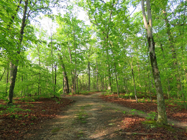
| It is a very pretty and peaceful trail and perfect for Shawnee in her wheelchair. |
 |
| The Otter's Path Trail crosses over one road, Cedar Crest Road, and continues through the field back into the woods. |
 |
| We left the Otter's Path Trail turning right on Beaver Point Trail. |
 |
| At the overlook, out of the wheelchair for a little break. |
 |
| Wow, that's a lot of turtles. I count 38. |
 |
| Back on the Otter's Path Trail. |
 |
| Last night's rain. Fortunately it stormed in the middle of the night but was all clear in the morning. |
 |
| A left on Between the Lakes Trail... |
 |
| ... and right on Goodwin Lake Road to the first left up ahead ... |
 |
| ... back to our car. |


No comments:
Post a Comment