

ABOUT THE PARK:
Ramapo Mountain State Forest - NJ Division of Parks and Forestry
Ramapo Valley County Reservation - Bergen County, NJ
DIRECTIONS:
GPS Coordinates 41.04742, -74.25130
 |
| Parking at 7:00 AM |
 |
| Parking at 12:00 PM |
TRAIL MAP:
North Jersey Trails Map 115 - NYNJ Trail Conference
Ramapo Mountain State Forest Trail Map (free map) - NYNJ Trail Conference
 |
| My GPS went rogue on me and spontaneously lost about half of the hike so here is the route highlighted on the free map. |
HIKE DISTANCE: 8.3 miles
THE HIKE:
Shawnee hiked the previous day so I went on my own for this one to do a hike too difficult for her.
 |
| Cross Skyline drive veering left towards the mailboxes and post with blazes. |
 |
| Take yellow to the left heading towards the fire danger sign. |
 |
| A short distance in, an Indian shelter to the left, a scramble to the right to continue on the yellow trail. |
 |
| Indian Shelter? |
 |
| At the top of the scramble, sunrise to the east. |
 |
| The Cannonball Trail joins in from the left and that is the one I would be staying with all the way to Camp Yaw Paw. |
 |
| Up ahead... |
 |
| ... the trail goes right through gas pipeline stuff where there is a strong smell of gas :( |
 |
| Back into the woods and away from Skyline Drive. |

 |
| A left on the Matapan Rock Trail to ... |
 |
| ... views west a short distance ahead. |

 |
| Back on the Cannonball Trail, vintage car ruins. |


 |
| A felt so sorry for this squirrel. She scrambled up a tree with her mouth stuffed full of leaves, got almost to the top and dropped them all. She proceeded to chatter curse words, in squirrelspeak, of course. |

 |
| That gas pipeline runs parallel on the right and sometimes comes into view. |

 |
| The Old Guard Trail joins in briefly. |
 |
| Entering Ramapo Mountain County Reservation. |

 |
| Cam Yaw Paw ruins. |
 |
| Shortly after this dilapidated cabin... |
 |
| Yellow starts on the right, |
 |
| Taking yellow. |


 |
| Orange joins in for a bit. |

 |
| You would think that as upcoming views draw my attention to the left... |
 |
| ... that I would not notice this way off to the right. |
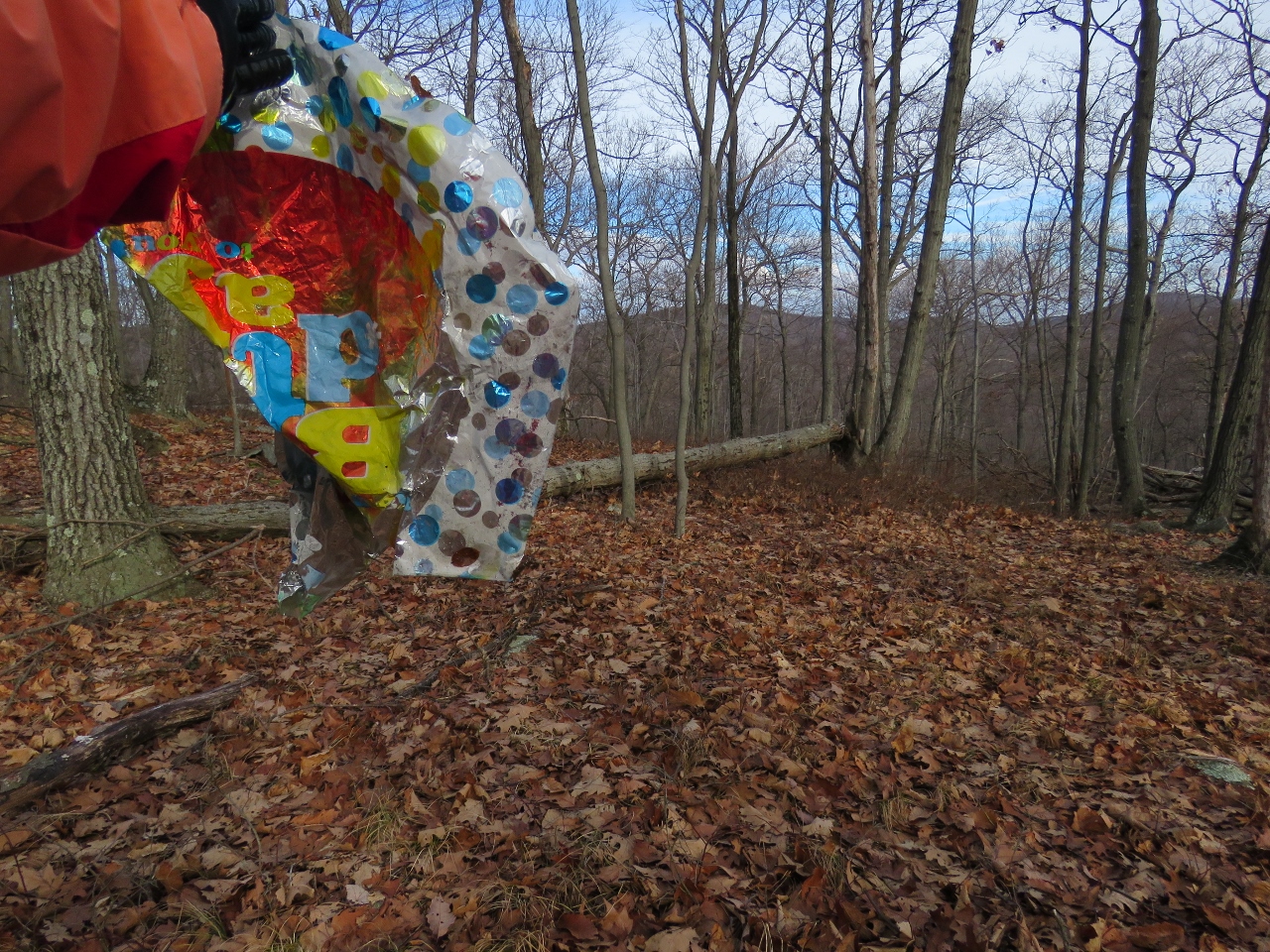 |
| But I did. Balloon #3 for the year. |
 |
| Back to those views. |
 |
| New York City skyline in the distance. |

 |
| The other end of the Old Guard Trail. |

 |
| Orange leaves at ... |
 |
| ... an area of open views. |
 |
| George Washington Bridge |
 |
| Continuing on yellow. |

 |
| More camp ruins. |


 |
| White joins in ... |
 |
| ... then leaves to the right. Staying on white now. |


 |
| White goes along the left side of this cabin... |
 |
| ... turns right along the cabin... |
 |
| ... crosses a bridge over... |
 |
| ... Fox Brook ... |
 |
| ... then ends at the camp road. Turn right on the road. |
 |
| Veer left towards the sign... |
 |
| ... to the beginning of white. |
 |
| White follows a camp road along Lake Vreeland. |
 |
| Lake Vreeland |
 |
| Hooded Mergansers |

 |
| White leaves the camp road as orange joins in from the left. |

 |
| Staying with orange when white splits off. |


 |
| I had seen this red trail the last time I was here and it's not on the map but looks like it goes to Lake Tamarack so I went to check it out. |
 |
| Downy Woodpecker |
 |
| And here it is ... |
 |
| Lake Tamarack |
 |
| Retraced back to orange and continued on to Skyline Drive and the parking lot. |
