ABOUT THE PARK:
Valley Forge - National Park Service
Pawling Farm - National Park Service
DIRECTIONS:
Pawling Farm Parking:
GPS Coordinates 40.107867,-75.459291
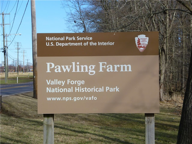
My GPS went haywire not knowing where to tell me to turn. After crossing the bridge on Pawlings Road, you will see a sign similar to the one above for River Trail parking. Pass that one by as that lot is smaller. Continue on until you see the sign above for Pawling Farm on the right. Parking is clearly marked with signs just past Pawling Barn, across from the kiosk.
View Larger Map
TRAIL MAP:
North Side Trails (Map should open in IE if it will not open in Firefox.)
HIKE DISTANCE: 5.10 miles
HIKE DESCRIPTION:
The hike starts beyond Pawling Barn, which appears to be undergoing restoration, to the left of the kiosk and follows a trail through a field.
 |
| Pawling Barn |
 |
| Trail across field. |
At the Betzwood Picnic Area, pick up the paved Schuylkill River Trail to loop back around for the return route on the River Trail.
 |
| Schuylkill River Trail |
 |
| The River Trail from the Schuylkill River Trail |
 |
| Dirt road back to parking lot from the other end of the River Trail. |
HIKE SUMMARY:
[ 0.00] Start the hike across the field to the left of the kiosk
[ 0.20] Keep left when trail goes right
[ 0.30] Cross over bridge
[ 0.40] Turn right on unmarked trail leaving the main trail
[ 0.50] Keep right when trail comes in from left; turn left at next intersection
on River Trail
[ 0.95] Sullivan's Bridge plaque on left
[ 1.10] Cross over bridge
[ 1.50] Keep straight on River Trail as a trail comes in from left (return route)
[ 1.75] Arrive at Betzwood Picnic Area
[ 1.85] Left on Schuylkill River Trail just before restrooms
[ 2.25] Turn left at intersection leaving Schuylkill Trail, left again, then switchback down
[ 2.30] Right on the River Trail
[ 2.85] Sullivan's Bridge plaque on right
[ 3.25] Cross over bridge; keep straight when trail comes in from right
[ 4.40] Watch for hill to the right to end then turn right and follow unmarked trail along far edge of hill
[ 4.50] Right on dirt road
[ 4.95] Pass barrier and continue on road towards parking area
[ 5.10] Arrive at parking lot


Hello! I just found your blog. I live in the Shenandoah Valley and just started a blog to keep a record of my doings in the region and to try and encourage myself to get outdoors more. You have beautiful photos from your hikes and I look forward to reading more! Great inspiration.
ReplyDelete