IMPORTANT TO NOTE: As we discovered in a most horrifying manner, discharge of firearms IS permitted according to New York DEC. There are no signs. There is no warning. Gunfire suddenly erupted behind trees along the trail we were on. We could not see who was shooting and froze expecting to be hit by bullets at any minute. Turns out there were 7-8 men behind the tree shooting at the same time in the direction were we had been about an hour earlier, .15 miles away, and bullets can travel well over a mile. As soon as we were a safer distance away, I called 911 only to eventually find out that shooting along the trail is allowed. The police did call me back to be sure we were all OK but there was nothing they could do about it since shooting is, as absurd and horrifyingly dangerous as it is, permitted. So be forewarned. (I did write the DEC Commissioner about this.)
DIRECTIONS:
GPS Coordinates 41.28263, -74.51005
Parking near the kiosk. The dirt road on the right is the entrance coming in off of Liberty Corners Road. There is parking a little farther in but you need a high clearance vehicle to get there.
TRAIL MAP:
There is no trail map online but there is one in the kiosk.
This is not a complete map. The white sections in the middle are meadows on Pochuck mountain where the views are into NY. The trail continues through the meadows to the state line and lakes per a description someone we ran into who knows the area gave us but we did not get that far: "At the end of the fields continue up the ridge take the trail going down towards the lake.Go around the lake. The overlook into NJ is there but you may have to bushwack.Track back to the ridge trail and continue away from the fields. This will bring you back to the first field.Overlook is about 0.75 miles from the end of the fields."
HIKE DISTANCE: 5.5 miles
THE HIKE:
The dirt road to the left of the kiosk (to additional parking if you car is high enough) ...
... the barrier on the right.
At .75 miles the dirt road forks. Right goes to the meadows (it was a short distance ahead on that trail where the gunfire took place) but we went left (which would have put us in the line of fire had we been there later) to explore.
Coming up on a creek crossing ...
... where we saw a turtle to the left of the boulder.
And a frog that did not even move when the dogs went by, brave little thing.
This is a pretty section that following along the top of the creek gorge.
But nearing the top, the trail becomes harder to follow and littered with blow downs.
Where to go now?
We were hoping to meet up with the meadows going this was but that wasn't going to happen so break time!
Then retracing back.
Shortly after this picture was taken at the top of the gorge, we descended to the creek crossing when Sebastian suddenly began digging. Thinking he was after a small critter, he was pulled back only to find bees or wasps swarming out of the hole. We ran, dragging the dogs along and got away but not before house wrecker Sebastian was stung a few times. Even though they were all over Shawnee's face, they must have realized she was the innocent party because she was not stung.
Not only did he have several welts come up on his behind (better than in the mouth!)...
... this one popped up once he was home. Lesson learned - keep your nose out of holes in the ground!
Back at that fork from the beginning of the hike (our 3-mile point) we turned left (the right side of the fork from the parking lot) towards the meadows.
The first meadow - a mowed path cuts through.
I was really worried about the full exposure and Shawnee getting overheated.
A hawk overhead.
Views of the Wallkill Valley in New York.
So when we arrived at the second meadow which was another section of full exposure, we sent the others on ahead with the camera and GPS and Shawnee and I rested in the shade between the meadows,
The part we did not see, into the woods at the state line after the last meadow. There were no views through the other meadows.
A heart-shaped rock.
Returning to our break spot.
Heading back across the meadows.
See how Shawnee's back right leg is twisting in? It was just the other side of this meadow when her leg gave out completely and she could no longer walk.
This is how we got her out.
And it was during this time we had the most horrifying gunfire experience.
Back at the parking area.
This would be the point where I should say Shawnee is retiring from hiking. But I have had something in the works for this inevitable day and we are in the process of fine tuning the fitting. I am hopeful this will keep her on the trails a bit longer. She seems to like it. (This was taken just a couple of hours after she could not finish this hike on her own.)
There is no sign for the parking lot but directly across the street from this sign (there is no parking at this sign)...
... turn into the drive to ... (PS - that is bear scat on the road to the left)
... the parking area. This is looking back out towards Bassett's Bridge Road.
TRAIL MAP: Refuge Map (shows all trails) - US Fish and Wildlife Service Timberdoodle Trail (only shows first part to Kelly Road) - US Fish and Wildlife Service
HIKE DISTANCE:
Timberdoodle Trail - 4.7 miles (2.35 miles each way)
hiked together with a 4 mile drive to: Winding Waters Trail - 2.6 miles
THE HIKE:
Shawnee had to sit this one out because she has been having trouble with
one of her back legs toeing in and collapsing all week. It's much
better than it was earlier in the week but I felt it best she stay home
this weekend so I took the opportunity to do a no dogs allowed hike. I
did my best to sneak out without her but it is very hard to fool her
when one is sneaking out to go hiking without her.
Start of the Timberdoodle Trail.
It's all old rail bed to pretty much a straight shot out 2.3 miles, except for a short section that bypasses the rail bed along a field
Makes for some nice aerobic steps for a change.
One road crossing at Kelly Road.
Another parking area on Kelly Road if you want to knock about a mile off of this hike.
If anyone lost these glasses, here they are at the Kelly Road trail gate.
This section starts to open up a little ...
... for some countryside views to the left ...
... and to the right.
There is a nice breeze blasting down the corridor when it's hot in the sun.
Not sure why this sign is here unless it means off trail to the left because the best part of the hike is yet to come.
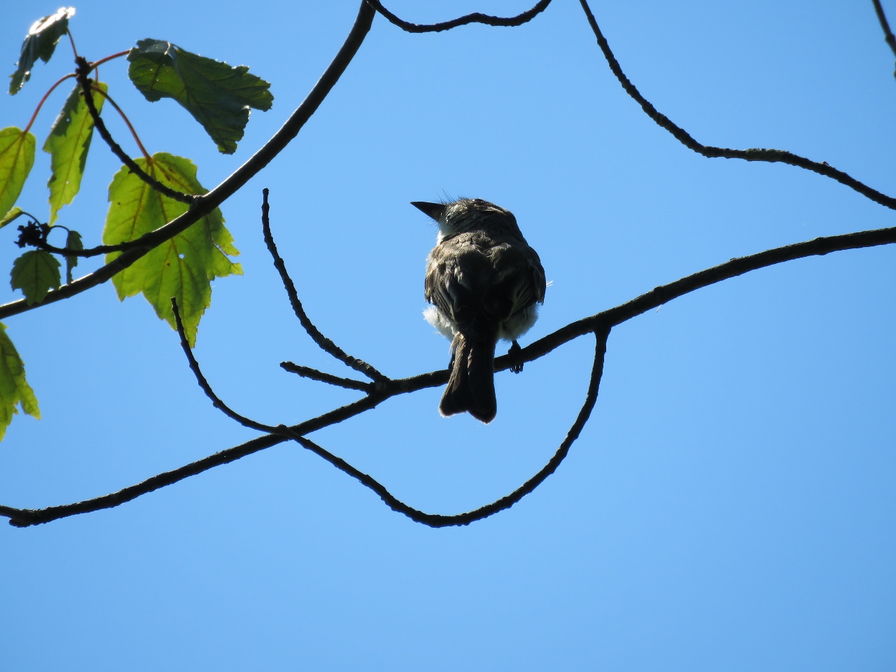
Meow. Yes, that is what he said. It's another gray catbird.
On the left a swamp comes into view ...
... that becomes a lovely pond at a bench.
A Great Blue Heron taking off.
The trail continues on a short distance along some swamps ...
... before it ends.
Heading back.
A hawk on the far side of the pond.
More bear scat but never saw any bears.
Back at the parking area.
I had seen this roadside stand on the way from Winding Waters to Timberdoodle on Oil City Road so I went back to buy some farm fresh produce before heading home.