ABOUT THE PARK:
Blue Marsh Lake - U.S. Army Corps of Engineers
DIRECTIONS:
GPS Coordinates 40.407240, -76.078889
 |
| Old Church Road Parking Lot |
TRAIL MAP:
Blue Marsh Lake Trail System - U.S. Army Corps of Engineers
HIKE DISTANCE:
Loop only - 7.5 miles
With out and back to Lake Road - 11 miles
THE HIKE:
 |
| In order to make a loop, we had to walk out of the parking lot ... |
 |
| ... and turn left on Old Church Road to cross on the bridge. |
 |
| View to the left from the bridge. |
 |
| View to the right of the bridge - this would be the loop portion of the hike from left, crossing another bridge and returning on the right. |
 |
| The trail turns left on to an old paved road for a short distance. |
 |
| Then leaves to the right uphill. |
 |
| At the top ... |
 |
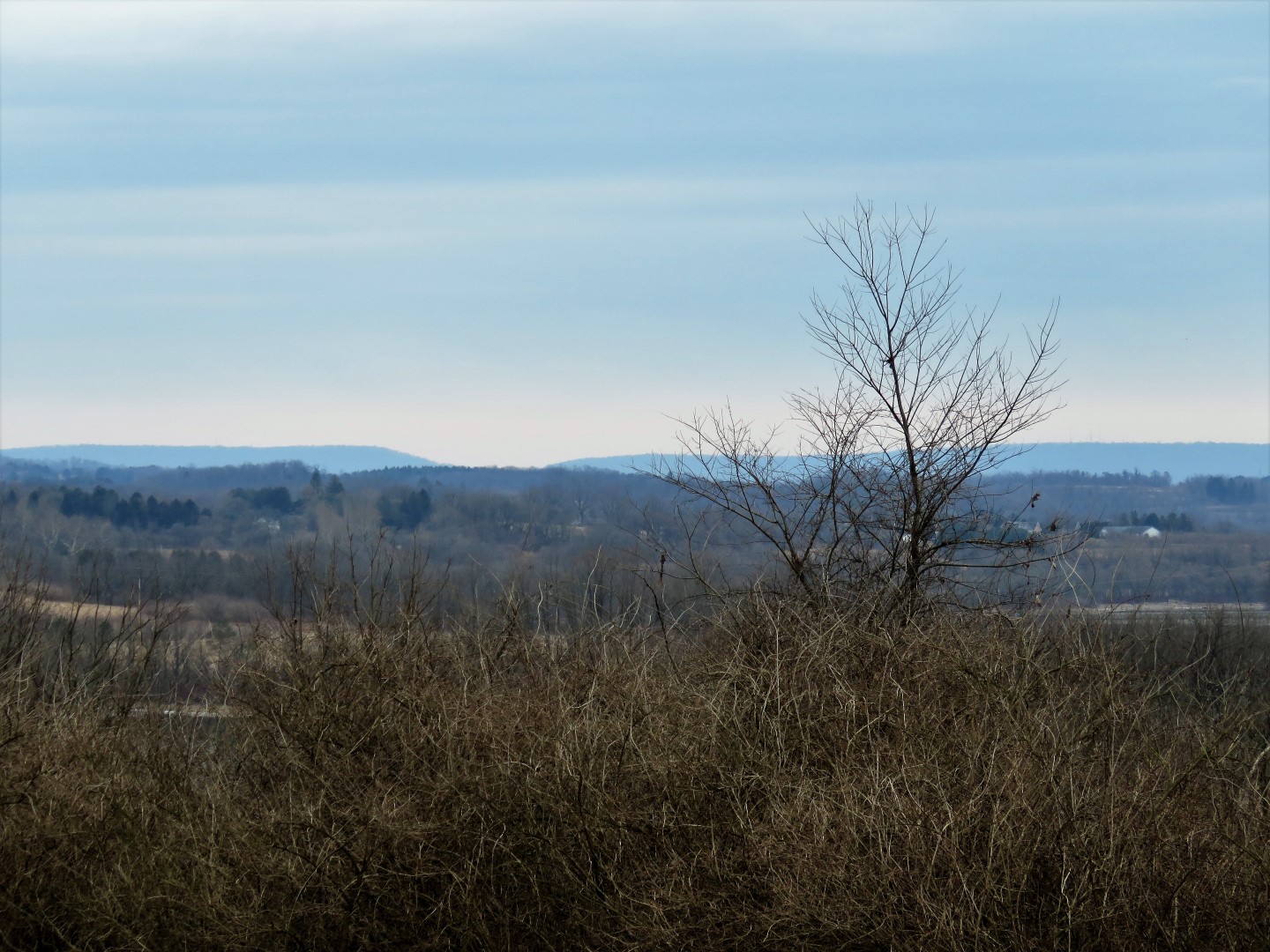
| ... some partial views to the right. |
 |
| The trail splits where horses are not allowed to the left, they go on the trail to the right. |
 |
| No horses allowed on this section because there are several bridges to cross. |
 |
| We would take the horse trail going back. |
 |
| In the winter you can see the outline of the trail ahead ... |
 |
| ... and I could see something way down there. |
 |
| It would be balloon #2 of the year but Brodie was not interested because some joggers were going by up on the trail. |
 |
| Back on the trail. |
 |
| At this point we met up where Shawnee and I had left off so we headed back. |
 |
| Now taking the horse trail to the left. |
 |
| This trail, quite different from the pedestrian/bike only part, skirts the edges of fields with some nice countryside views. |
 |
| Meeting back up with the pedestrian/bike only trail joining in from the right. |
 |
| At Old Church Road ... |
 |
| ... we cross over to continue on the trail just before the guardrail. |
 |
| Looking back down at the parking lot which was packed. We only came across a few other people early on in the loop then only two joggers the rest of the time. |
 |
| Looking back on Old Church Road where we had crossed the bridge from the parking lot. |
 |
| After going through a gas pipeline, the trail comes to a T-intersection where the marker is missing. It's a left turn on to the old paved road. |
 |
| After coming out of the yellow gate, it's a hard right on to the trail - again the sign is missing. I had to consult my app a couple of times in this area to determine which way to go. |
 |
| Trail markers resume so it's clear where to go from here on out. |
 |
| That bridge up ahead is where we would be crossing. |
 |
| The trail descends steeply. |
 |
| Then climbs back up again. That is pretty much the way the trail flows along this side of Blue Marsh Lake. |
 |
| Taking a break on a log. |
 |
| Coming up on the bridge. |
 |
| But first balloon #3 of the year. |
 |
| It's not a crossing, turn right on the road ... |
 |
| ... to cross the bridge. |
 |
| View from the bridge. |
 |
| The trail continues to the right just the other side of the bridge. |
 |
| This section of trail runs right next to Route 183 with lots of traffic noise but I did not find it annoying since there was so much to look at and it's relatively flat after all of the ups and downs on the other side. |
 |
| This old concrete structure made a nice break spot. |
 |
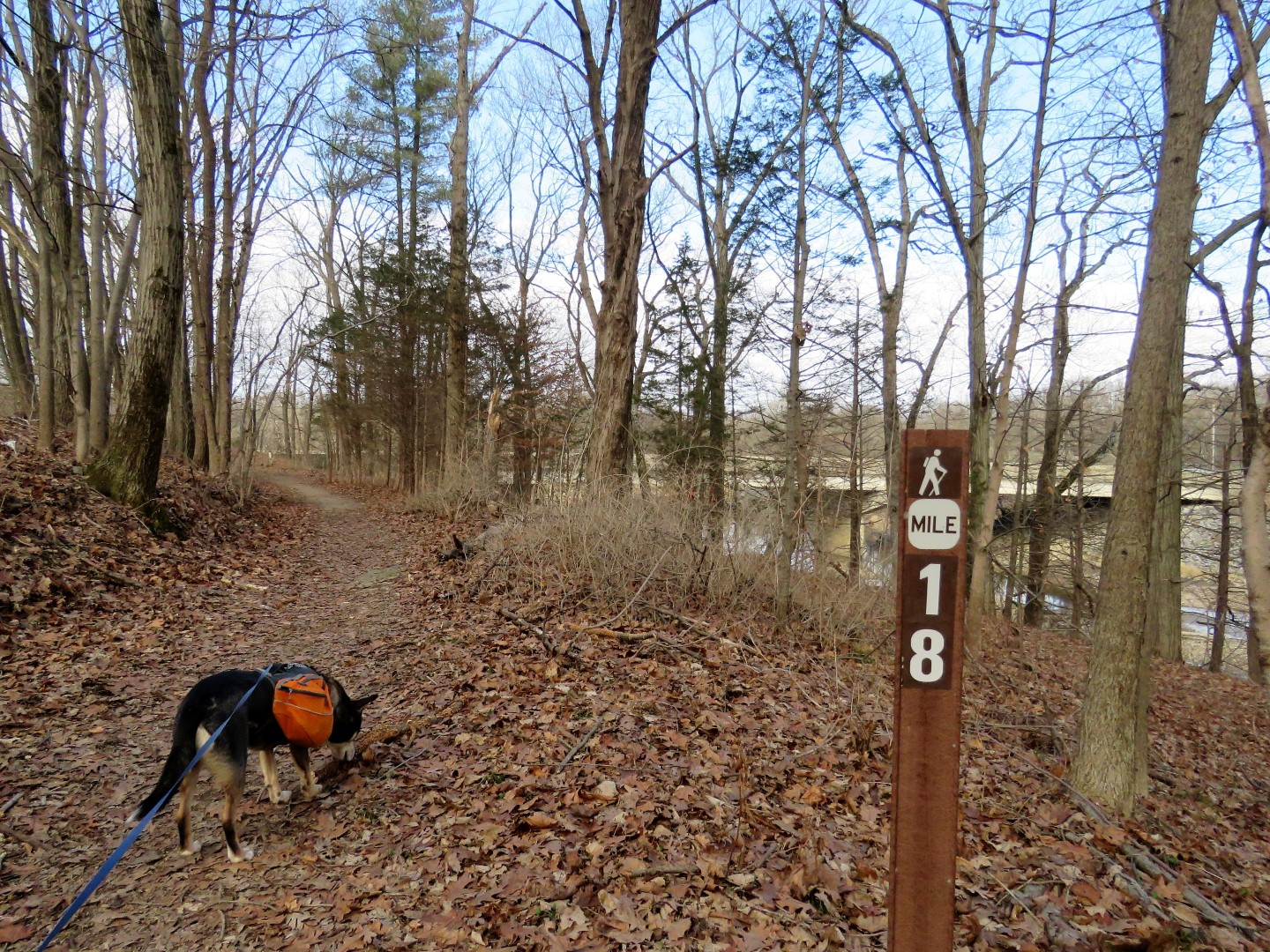
| The trails had stayed pretty frozen until almost the end of the hike when thawing turned parts into mud pits. |
 |
| Coming up on Old Church Road. |
 |
| Of course one last slog of mud before having to put Brodie in the car :(. Amazingly, by the time we get home he is dry and there is no mud on him. It all falls off in the back seat of my car. |
 |
| Crossing Old Church Road back to the parking lot. |
 |
| No sooner had we pulled out of the parking lot when it started to rain. We made it just in time. |