ABOUT THE PARKS:
Washington Township Parks - Washington Township
Hiking Trail Dedication - Dick Flint Natural Area - Washington Township
DIRECTIONS:
GPS Coordinates 40.76686, -75.01785
 |
| Parking at the lower trail head - room for about 5-6 cars. |
TRAIL MAPS:
Roaring Rock Natural Area - Washington Township
Lake Marguerite Wildlife Refuge and Griffith Woods Natural Area - Washington Township
 |
| Updated Marguerite/Griffith Map - the online version is outdated and does not show the blue trail that runs along the creek. I colored the trails as the colors they are blazed for clarity. |
 |
| At this time there are no online maps for the Dick Flint Natural Area so these are pictures of the brochure at the trail head. |
HIKE DISTANCE: 8.1 miles
THE HIKE:
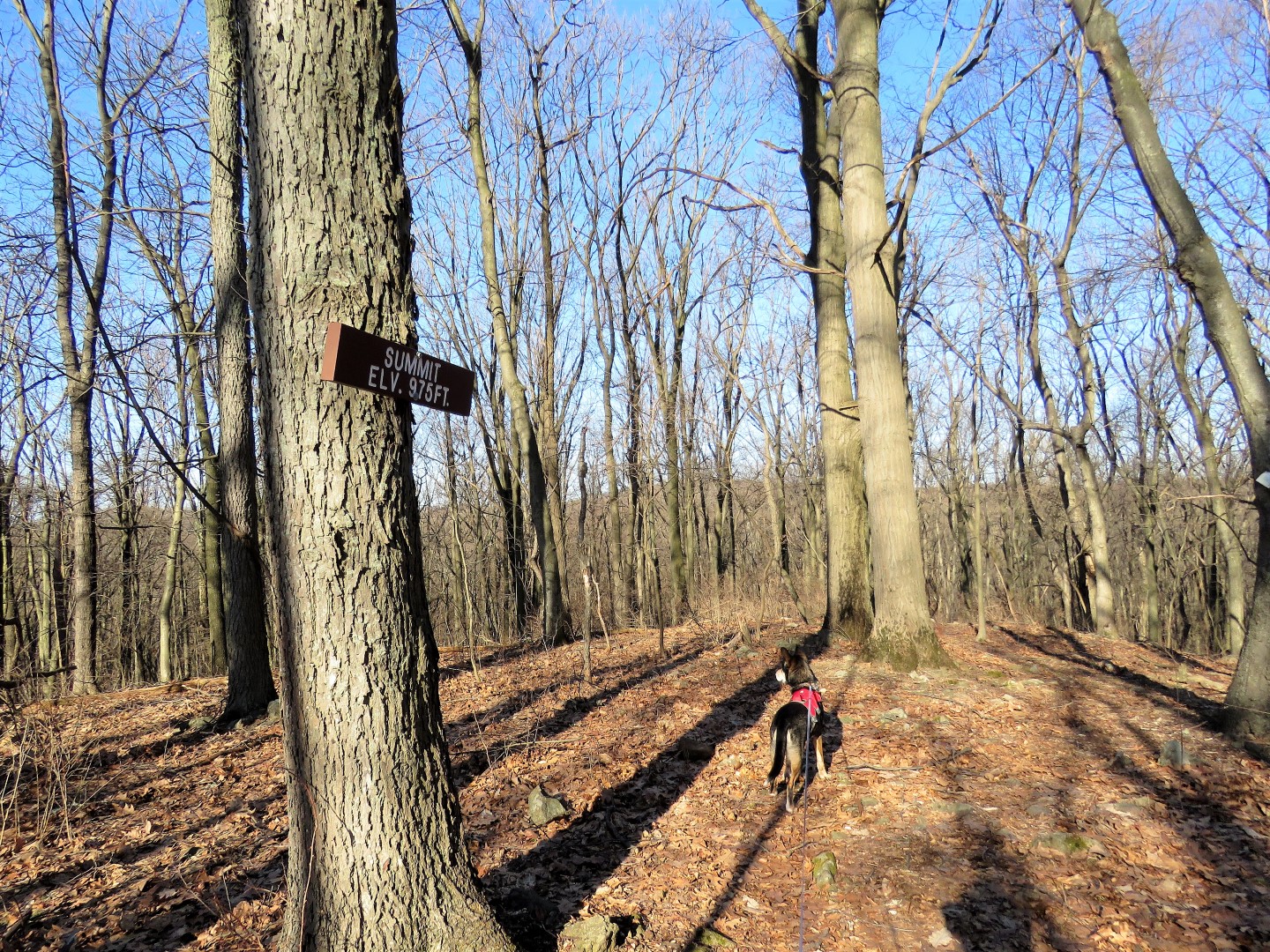
These small parks have been on my list for quite some time but there just wasn't enough trail mileage for me until I found out about the Dick Flint Natural Area trail which enabled me to combine the parks with a little bit of a low traffic road walk.
 |
| Starting from the lower trail head, it's a short connector trail to the 1.9 mile loop where we went left. |
 |
| Barn |
 |
| Farm House |
 |
| xxxx |
 |
| The trail follows above Harmony Brass Castle Road. |
 |
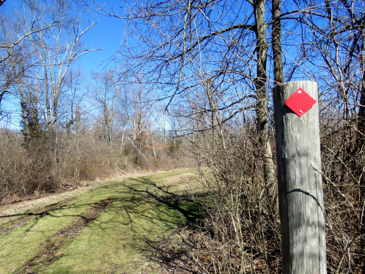
| Watch for the trail to split ... |
 |
| ... and stay left to Roaring Rock Park. We'll be picking up the trail to the right after we come back from Roaring Rock. |
 |
| Cross Harmony Brass Castle Road to Roaring Rock Park. |
 |
| A short drive leads to a parking lot ... |
 |
| ... and the trails. We took the left white/blue trail and returned on the white trail to the right. |
 |
| White/blue cross over Brass Castle Creek. |
 |
| Brass Castle Creek |
 |
| We stayed left on blue. White goes uphill and makes for a shorter loop. |
 |
| The blue trail runs all along the scenic Brass Castle Creek. |
 |
| Blue leaves the creek and heads uphill. |
 |
| Nice winter views at the top. |
 |
| I am sure there would be no views at all in the summer. |
 |
| Blue ends at white when white comes in from the right. We went straight on white. |
 |
| Crossing a bridge back to the other side of ... |
 |
| ... Brass Castle Creek. |
 |
| The pond down below. I should have gone off trail to get a better shot because at the spot farther along where there is a trail to the pond there were several people (the only people I saw the entire time) and there was not enough room for me and Brodie so we continued on. |
 |
| Back at the parking lot veer left out the drive ... |
 |
| ... across Harmony Brass Castle Road and back into Dick Flint Natural Area. |
 |
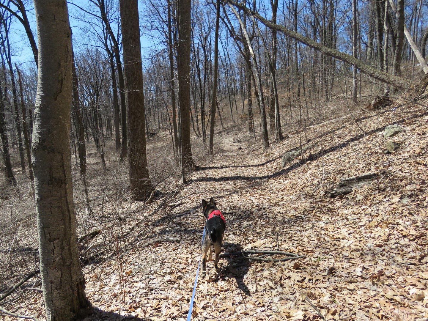
| Keeping left on the loop to continue on. |
 |
| At the top there was blow down after blow down. |
 |
| We made it over all of them. |
 |
| Then the trail was clear again. I moved at least 50 downed branches off of the trails on this hike so hopefully that helped some. The trail is otherwise in good shape so the downed trees are from recent nor'easters. I had to keep an eye out for a road on the left that, according to the map, the trail would come very close to. |
 |
| And there it is, just before the trail turns right and descends. You could almost reach out and touch Hartman's Corner Road but it was a little bit of a bushwhack that might not be possible in the summer ... |
|
 |
| ... and a vault over the guardrail, both of which, as I found out later, had been completely unnecessary. Had I continued on the trail to the right and downhill, I would have run into a woods road that leads to Hartmans Corner Road. More on that better way to approach this on the return route. |
 |
| It's about .65 miles on Hartmans Corner Road. |
 |
| Cross Brass Castle Road and just a short distance beyond that house on the corner ... |
 |
| ... left into Lake Marguerite. |
 |
| Note the last line of the green sign: Cats and dogs must be leashed, LOL. |
 |
| Although not shown on the map, the red trail markers start at the gate. |
 |
| Lake Marguerite |
 |
| A nice picnic area ... |
 |
| ... where we took a break. |
 |
| Continuing along Lake Marguerite ... |
 |
| ... veering right over a bridge. |
 |
| Things get confusing in this area which looking at the map is the section to the right of the lake with all of the bridges. This particular bridge gets you stuck with no way to cross the water. Seems as though a bridge is missing. |
 |
| You can't get over to those bridges in the distance. So backtracking... |
 |
| ... and going around off trail to those bridges and look at that, the missing bridge smashed up in the water to the left? Seems as though some storms have damaged this area. |
 |
| Entering Griffith Woods. |
 |
| I had lost the trail blazes but got on this boardwalk and ... |
 |
| ... that hooked us right back up with red, which was easy to follow the rest of the way. |
 |
| Shortly after this farm view to the right ... |
 |
| ... a blue trail that leads to another parking area. We stayed on red. |
 |
| I bushwhacked over to grab a balloon that was stuck in the undergrowth and this was all that was left of it. |
 |
| The stone wall that is shown on the map. |
 |
| Brodie decided to take a break on this bridge. Just the other side of the bridge red continues on but we turned left and followed blue along the pretty creek. |
 |
| Blue is well-marked but there isn't much of a distinguishable trail so you have to go from marker to marker following along the creek. |
 |
| A wood duck couple at the creek. |
 |
| Blow down benches. |
 |
| Blue ends and red comes in from the right and crosses a new bridge which is in the vicinity of the damaged/missing trail/bridges so maybe there is some reconstruction happening. |
 |
| Back at Lake Marguerite where we startled two Great Blue Herons. |
 |
| Heading back. |
 |
| Just beyond that speed limit sign and before the guardrail on the left ... |
 |
| ... the woods road that ... |
 |
| ... runs smack into the Dick Flint Trail. So heading out, instead of bushwhacking and vaulting over the guardrail like I did, follow the trail as it veers right downhill until it runs into the woods road, turn left then right on Hartmans Corner Road. Much, much easier! |
 |
| Continuing around the Dick Flint Trail loop. |
 |
| Just after a bench ... |
 |
| ... at the 1.9 mile loop sign ... |
 |
| ... a left back to the lower trail head. |