Saturday, May 11, 2019

American Legion State Forest, CT - Turkey Vulture Ledges Trail


ABOUT THE PARK:
American Legion and Peoples State Forests - Connecticut DEEP

DIRECTIONS:
GPS Coordinates 41.924289, -73.012490
This involves a 1.5 mile drive up Legion Road, a gravel road.  I had read it would be difficult with a low clearance vehicle like mine.  Figured I'd see how far we could get and maybe find a pullout and walk the rest of the way.  (The road is closed in the winter and has to be road walked.)  But turns out the trick is not to drive up the middle of the road in the tire ruts where the car bottoms out, rather off to the side so the driver's side tires are on the hump in the middle.  Piece of cake that way and I made it all the way to the top.
Pullout parking across from the Turkey Vulture Ledges Trail trail head.

TRAIL MAP:
American Legion and Peoples State Forests Trail Map - Connecticut DEEP
Powered by Wikiloc

HIKE DISTANCE:  .8 miles total out and back
Hiked together with:
Peoples State Forest - 7 miles
American Legion State Forest - Henry Buck Trail - 2 miles

THE HIKE:
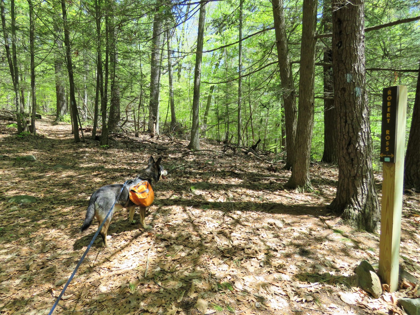
The Turkey Vulture Ledges Trail trail head directly across from the parking pullout.
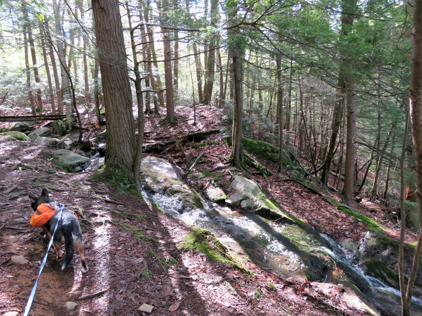
It's an easy blue-blazed out-and-back trail.
The trail ends at the three blue blazes at the overlook.
There was constant photo bombing by those annoying gnats.
I had just ordered this hat with built in netting and I don't care how dorky it looks, I can breathe without gnats going up my  nose and in my mouth.  It works beautifully!
There is an unmarked trail that goes out farther along the ledges beyond where the blue trail ends.  The views from that trail are even better.
Heading back.
Eagle Eyes Brodie noticed something off the trail just as I took this picture.  He stuck his nose over there then suddenly jumped back three feet in the air.
This would be what spooked him, LOL!  Sorry for Brodie's bad manners, little garter snake. 
Back at the car.
On the 3 hour drive home we stopped at Burger King for dinner.
Veggie burger for me and cheeseburger-hold-the-bun-and-toppings for Brodie.

American Legion State Forest, CT - Henry Buck Trail


ABOUT THE PARK:
American Legion and Peoples State Forests - Connecticut DEEP

DIRECTIONS:
GPS Coordinates 41.946466, -73.014640
Park in a pullout anywhere along West River Road between the two Henry Buck Trail trail heads.

TRAIL MAP:
American Legion and Peoples State Forests Trail Map - Connecticut DEEP
Powered by Wikiloc

HIKE DISTANCE:  2 miles
Hiked together with:
Peoples State Forest - 7 miles
American Legion State Forest - Turkey Vulture Ledges Trail - .8 miles

THE HIKE:
We road walked to the farthest northwestern trail head.
Oops!  A typo on the sign.
The trail immediately climbs up, sometimes on slab steps, along pretty cascades.
Up to the top ...
... then a steep descent ...
... to an overlook.
Nice break spot after that climb up.
Up some more.
A plaque way up high on a boulder to the right, too high up to read.
But that is what the 65x zoom on the camera is for.  Some info about Henry Buck.
I was quite surprised to find a bridge on this very rugged trail.  But it's the only bridge, the rest of the water crossings are rock hops.
Ruins of an old cheese box mill.
Red Trillium
At last, after descending, a long stretch of smooth, flat trail.
The trail comes out on West River Road ...
... across from the old bridge abutments we had seen from the Peoples State Forest overlook earlier.
Turning left and road walking (very carefully) about a quarter of a mile back to the car.  The speed limit on this road is supposed to be 25 mph but nobody got the memo.  Now on to the Turkey Vulture Ledges Trail.

Peoples State Forest, CT


ABOUT THE PARK:
American Legion and Peoples State Forests - Connecticut DEEP

DIRECTIONS:
GPS Coordinates 41.942530, -73007598
Parking across from trail head along East River Road.

TRAIL MAP:
American Legion and Peoples State Forests Trail Map - Connecticut DEEP
Powered by Wikiloc

HIKE DISTANCE:  7 miles
Hiked together with:
American Legion State Forest - Henry Buck Trail - 2 miles
American Legion State Forest - Turkey Vulture Ledges Trail - .8 miles

THE HIKE:
I was hesitant to start on the Falls Cut Off Trail because I had read things like:  Hardest trail in Connecticut, not for those afraid of heights, 90% grade...  Other than my fear of heights I was worried about getting Brodie up rock scrambles.  He is not a fan and keeps wanting to go back down. But thought I would give it a try and I am glad I did.  Despite what I read, it is not that bad.  I only had to help Brodie up once.
Eastern Phoebe at the Farmington River
Crossing East River Road to the trail head.
The sign pertains to the trail we would be returning on.
Just a short distance in, left on the blue/red Falls Cut Off Trail.
It starts off smooth enough ...
... then suddenly becomes rocky.
Going up.
There are a lot of steps built in with rock slabs.  The trail goes up right next to the falls, sometimes the falls are flowing down the trail.
Looking back down the trail. 
Crossing the falls.
Nearing the top of the falls.
At the top, we turned left on the blue/yellow Jessie Gerard Trail.
Black and White Warbler
Still a little bit of climbing ...
... to an overlook to the south.
Farmington River down below.
Across the Farmington River I can see the old bridge abutments where the Henry Buck Trail is that we would be hiking later.
Continuing on through gorgeous forests.
Coming up on another ...
... overlook to the north.
At the Jessie Gerard Trail sign, right on the park road a short distance to ...
... left on the Charles Pack Trail which is also blue/yellow.
At the stop sign at the park road I did not see any turn blazes but it is a left turn over the bridge then a right just the other side of the bridge.
Looking back at the bridge we just crossed over.
Just before this bridge over Beaver Brook, right at the post to ...
... the green Pond Trail.
It's a short distance to a nice overlook at the pond.
Heading back and crossing the bridge.
At this post, a left on the blue/orange Agnes Bowen Trail.
Right on the blue Robert Ross Trail.
Back at the Jessie Gerard Trail, left to switchback down steeply.
Almost at the bottom, the Lighthouse Village Cemetery.
Unmarked field stones that designate graves.
Back at the parking lot for lunch and a break before heading across the Farmington River to the American Legion State Forest.
But before leaving, a short path from the parking area down to Farmington River.