ABOUT THE PARK:
Mercer Meadows - Mercer County Park Commission
DIRECTIONS:
GPS Ccoordinates 40.312697, -74.736789
 |
| Parking at The Red Barn. |
TRAIL MAP:
Mercer Meadows Trail Map - Mercer County Park Commission
Powered by Wikiloc
HIKE DISTANCE: 10 miles
THE HIKE:
 |
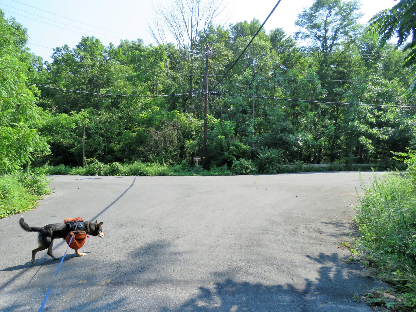
| Starting from the parking lot on a gravel path |
 |
| The gravel paths have directional signs at every corner. The mowed paths have posts, the footpaths have very little in the way of signage. Trails are not marked. |
 |
| The gravel path runs into the Lawrence Hopewell Trail, which links the various parks together, at the Pole Farm Interpretive Site. |

 |
| Wet mourning doves in the fog. |
 |
| I tried to stay off of gravel paths as much as possible so we kept straight on a mowed path. |


 |
| This is a different rabbit than the one above. Fawns and rabbit all having breakfast together |

 |
| Brodie noticed them but nobody moved fast so he didn't get over the top excited like he sometimes does. |


 |
| Balloon #44 of the year. This is from the defunct Toys R Us birthday club. Maybe someday this balloon collection will be worth something! |

 |
| Coming up on a road crossing. |
 |
| At the Hunt House we turned left on the mowed path. |


 |
| Willow Pond |
 |
| On the Stony Brook Trail. |


 |
| Stony Brook |

 |
| Where the map shows a trail back over to the Lawrence Hopewell Trail, there was nothing but an overgrown field. |
 |
| I went back and followed the park app but no trail in sight and ended up at the same place as before. |
 |
| We just had to hack our way through the overgrowth up to the LHT. |
 |
| Rosedale Lake from the LHT. Looking down to the left I noticed that there was a footpath coming up from the Stony Brook Trail on the other side of the outlet where the map shows the trail ends. So to get here, rock hop across the outlet then turn left. |


 |
| Passing by the fanciest dog park I have ever seen. The last time we stopped at a dog park Brodie became very overwhelmed so I had not planned on taking him in. Maybe on the way back. We'd have to see. |

 |
| Equestrian District |


 |
| Entering Curlis Woods. |

 |
| Curlis Lake |


 |
| Coming back around along the other side of the Equestrian Center. |
 |
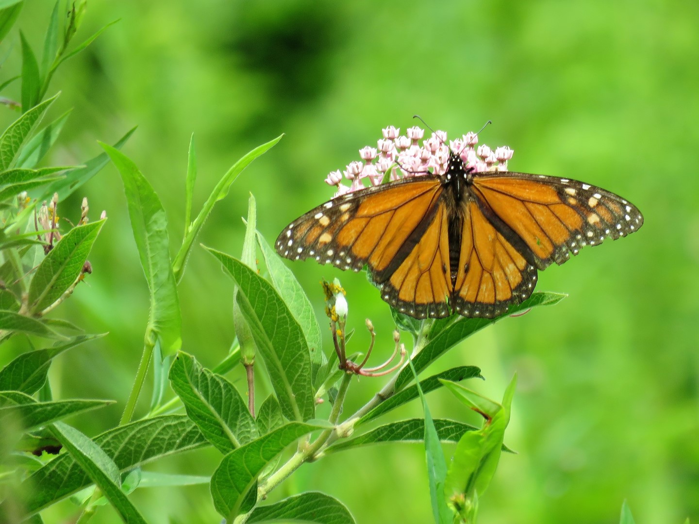
| Birds everywhere! |


 |
| Back at the dog park there were not that many dogs and the place is huge so we went in. |
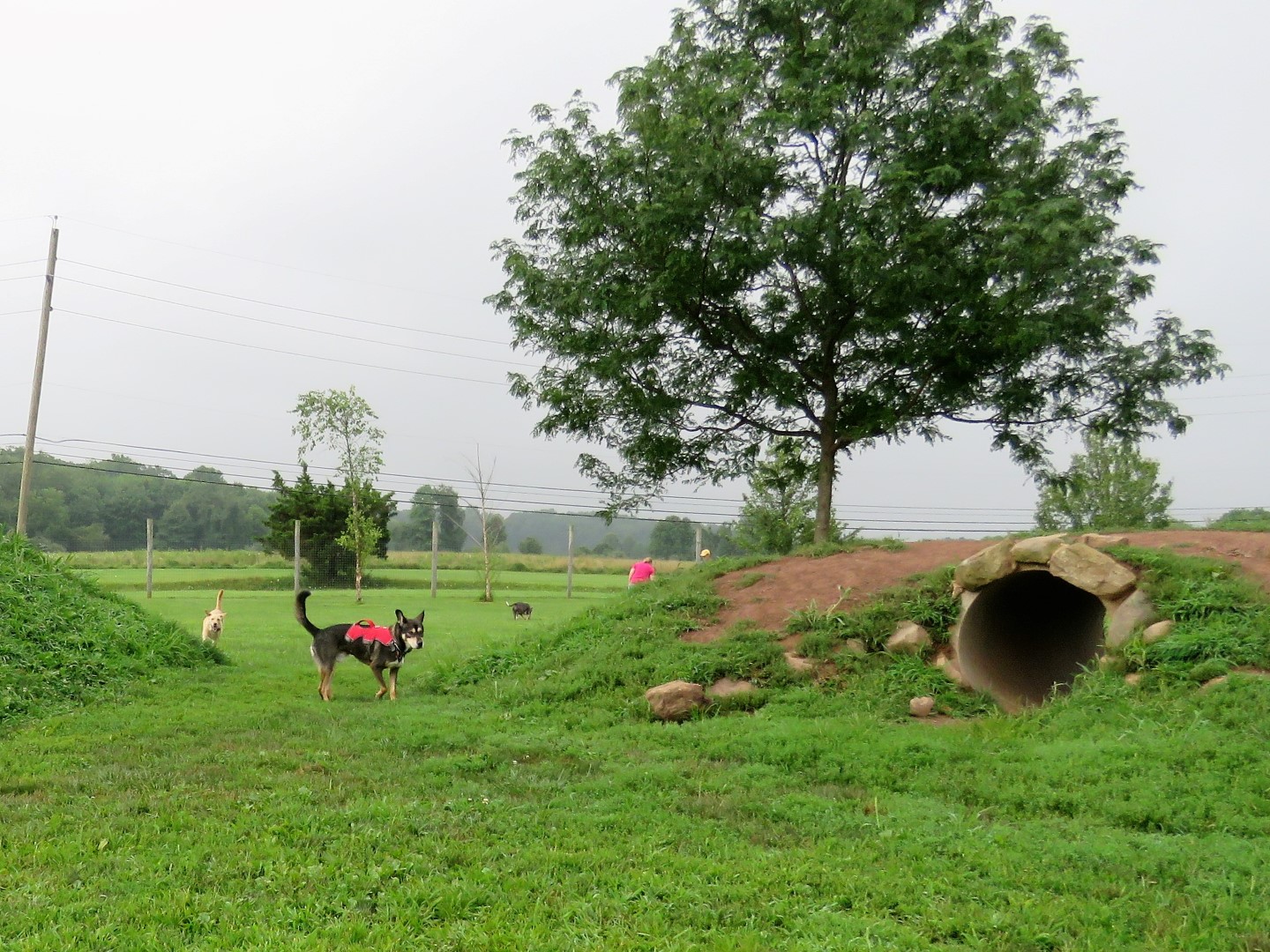 |
| Much better than the last dog park Brodie was at. He was not overwhelmed at all. |


 |
| He even made a few new friends ... |
 |
| ... who got him to give chase. |
 |
| Back along Rosedale Lake. |
 |
| Shade Shelter |


 |
| North Observation Tower |


 |
| Nature Blind |
 |
| Back at The Red Barn where we parked. |