

ABOUT THE PARK:
Allamuchy Mountain State Park - NJ Division of Environmental Protection
DIRECTIONS:
GPS Coordinates 40.92470, -74.80852
 |
| Parking off of Route 517. I strongly advise backing in since there is quite a bit of traffic later in the day and it would be very hard to safely back out when leaving. |
TRAIL MAP:
Allamuchy Mountail Map - NJ Division of Environmental Protection
Jersey Highlands Trail Map 126 - New York New Jersey Trail Conference
Allamuchy Mountain State Park Map - JORBA
Powered by Wikiloc
HIKE DISTANCE: 5.5 miles
THE HIKE:
 |
| There was a path straight up to the orange trail behind my car but it was too steep so I started on the gated woods road to see if there was an easier way up. |


 |
| Just before this blow down I was able to leave the old road to the right a few steps on to the orange trail. |
 |
| Right on the orange trail. |

 |
| Passing where I parked from up above. |
 |
| Just a short distance beyond there was a much smoother access to the orange trail. We'd be taking that back to the car at the end. |


 |
| At purple we left orange and turned right. |


 |
| Not a mylar balloon but I packed it out. |


 |
| When purple turns left at the Camp Allamuchy sign ... |
 |
| ... it becomes a much straighter trail. |


 |
| Purple ends at white; we turned left. |


 |
| Heading to the old dam for a break. |


 |
| At the intersection with orange... |
 |
| ... white goes downhill a short distance to another parking option. |

 |
| Retracing back to orange. |
 |
| When orange forks, we turned right since left would have taken us to where we had already been. |
 |
| It was 70 degrees so apparently Brodie decided it was OK to get his paws wet as he sloshed on through. |

 |
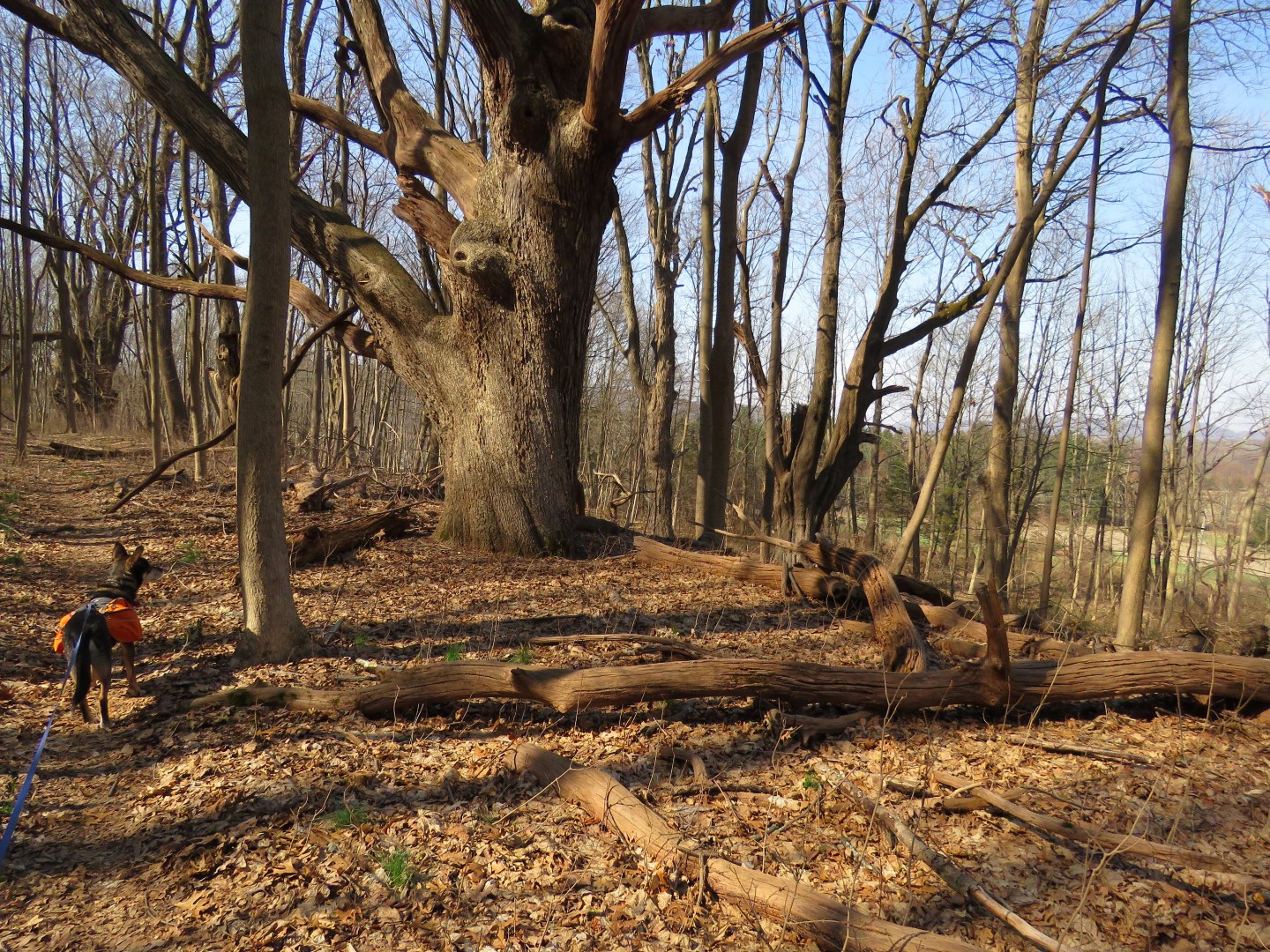
| Lots of old growth trees along the way. |
 |
| Brodie knew where we had come up on orange and tried to go that way but I wanted to continue on orange. |
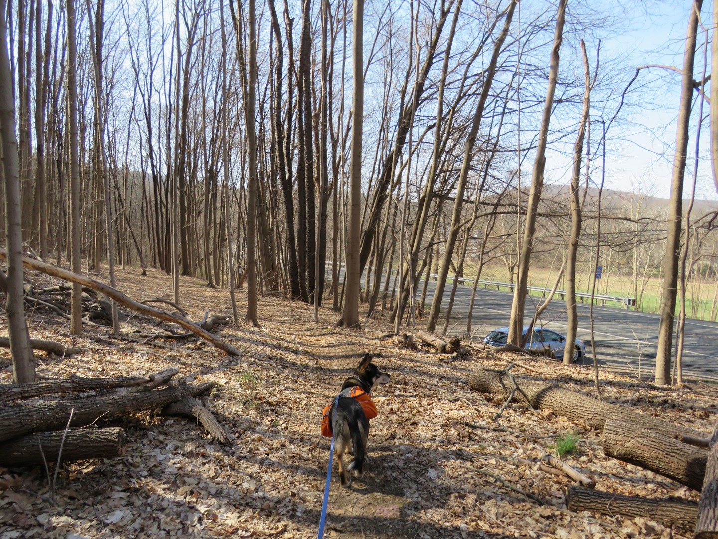 |
| Passing my the parking area ... |
 |
| ... to the easier way down. |
 |
| They're baaaaaaack! This one was on me. Brodie did not have any since he had just been treated with K9 Advantix. Time for me to start spraying Deep Woods OFF! again. |