ABOUT THE PARK:
Roosevelt Farm Lane - Hyde Park, NY
Winnakee Nature Preserve - Winnakee Land Trust
Hyde Park Trails Audio Podcasts - National Park Service
Hyde Park Trail - Hyde Park, NY Recreation Trails
DIRECTIONS:
GPS Coordinates 41.76988, -73.93470
 |
| Parking at the eastern end of Roosevelt Farm Lane. |
TRAIL MAP:
Hyde Park Walkabout Trail Map - National Park Service
Roosevelt Farm Lane Trail Map - National Park Service
Winnakee Nature Preserve Trail Map - Winnakee Land Trust
Powered by Wikiloc
HIKE DISTANCE: 6.6 miles
THE HIKE:
 |
| From the parking lot there is a short side trail ... |
 |
| ... to the Roosevelt Farm Lane which is also the Hyde Park Trail. |

 |
| Our friend Al, the poodle, joined us today. |
 | |
| We left the Roosevelt Farm Lane and took blue with the intention of taking the entire Roosevelt Farm Lane for the return route. |
 |
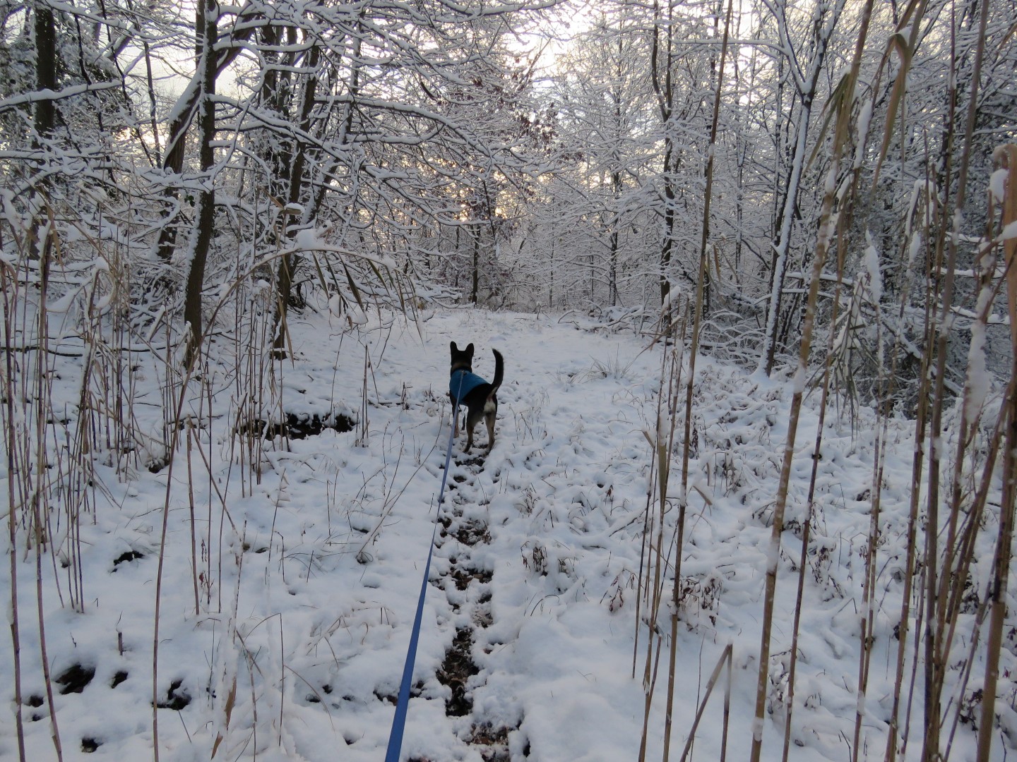
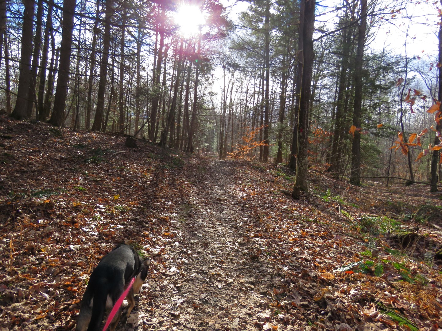
| Nice trail through the woods. |

 |
| We went right on yellow. |


 |
| Right on red. |


 |
| At this intersection I wondered if the well-traveled path to the right would lead to Winnakee Nature Preserve without having to walk along Route 9. We gave it a shot. We failed. Almost, just almost at the residential road to Winnakee Nature Preserve, we were stuck in a corner at the federal land boundary line, private hunting club properly and residential back yards. We had to retrace. |
 |
| Back on red. |
 |
| That dog we just passed obviously stopped at this tree. |
 |
| On the Roosevelt Farm Lane. |
 |
| The Hyde Park Trail leaves the Roosevelt Farm Lane to the right... |

 |
| ... and through the western parking lot. |
 |
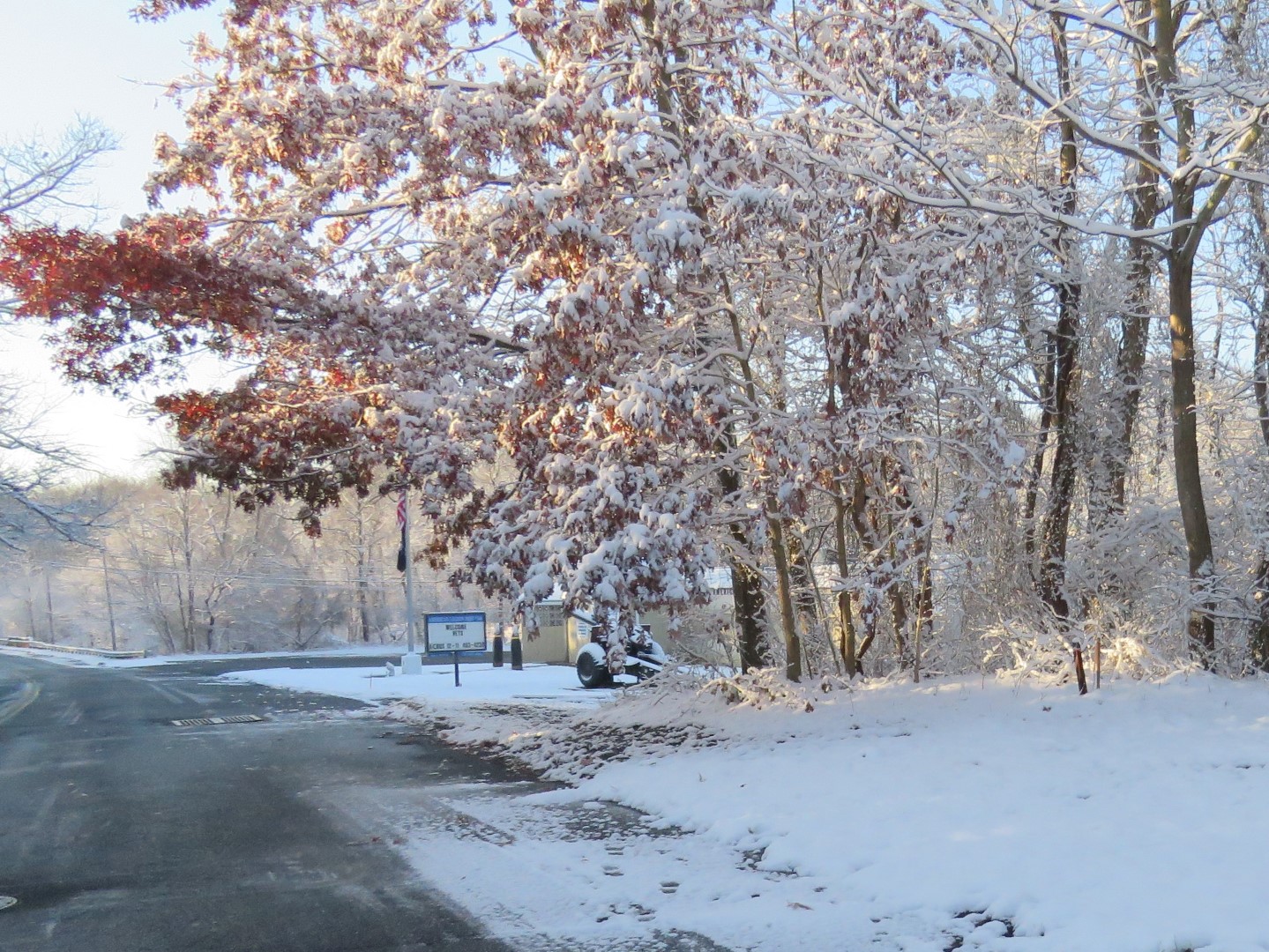
| Crossing the parking lot entrance. Across Route 9 is the Franklin D. Roosevelt National Historical Site where we will go another time to complete the Hyde Park Trails. |
 | |
| For now we are on this gravel path along Route 9 which passes a drive-in movie theater. |
 |
| At the first road between Comfort Inn and the Shell station, right on Terwillliger Road. |
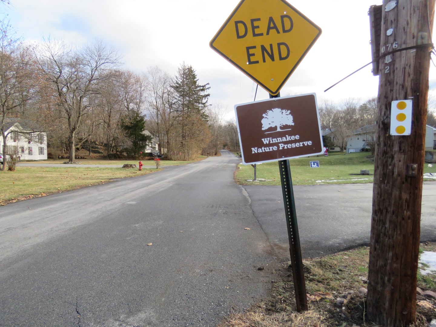 |
| At the end, Winnakee Nature Preserve is to the left. |
 |
| Through the Winnakee Nature Preserve parking lot at the dead end. |
 |
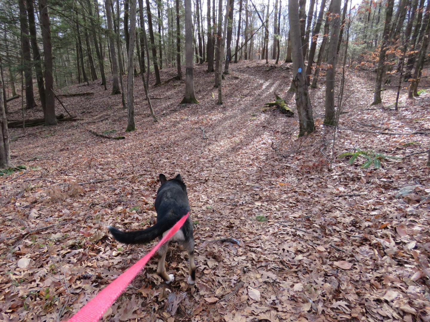
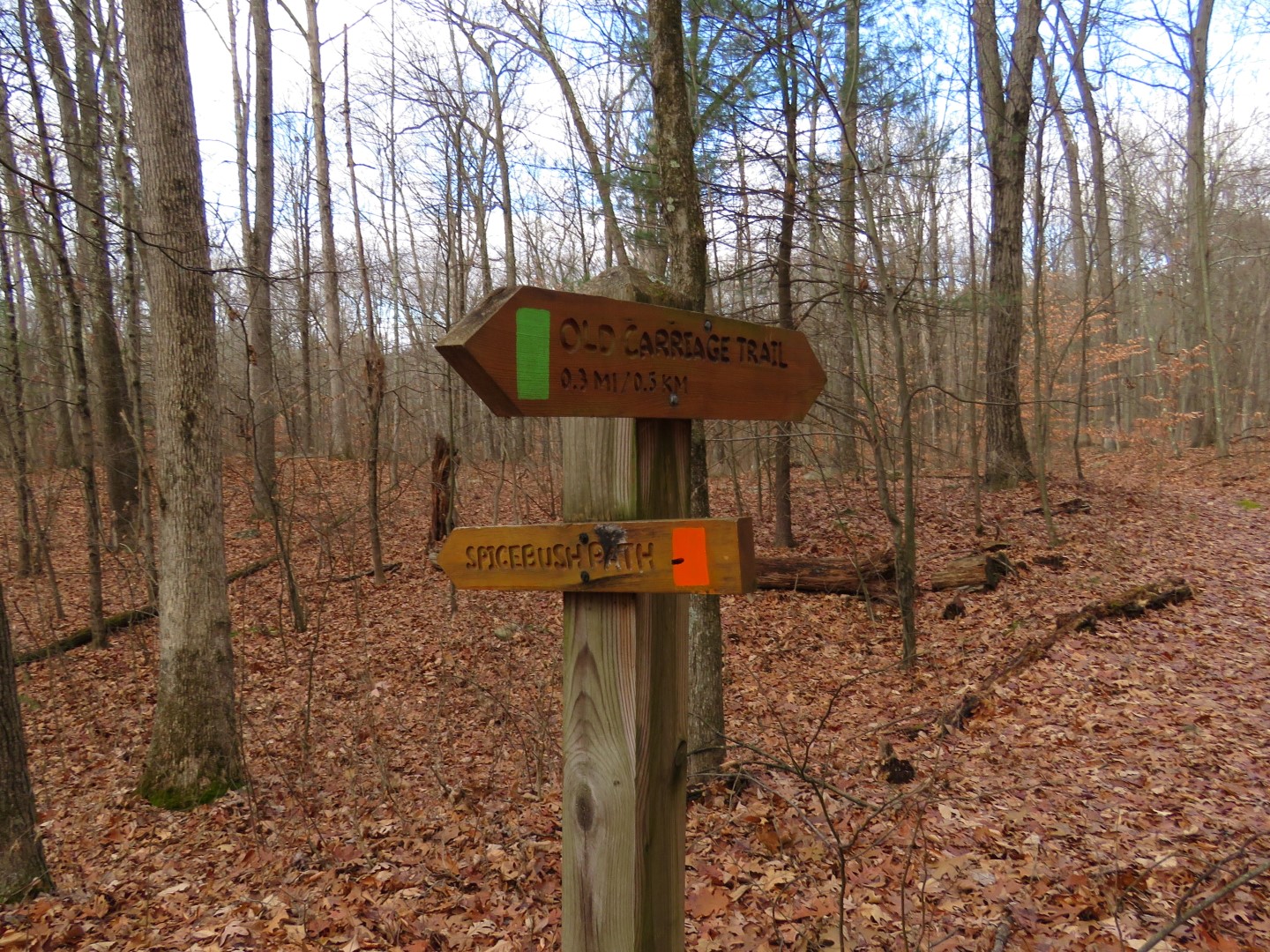
| The trail for the Hyde Park patch is only the red trail but we did them all. |
 |
| Do you see it? Over there? |

 |
| Yes, balloon number 45 of the year. |


 |
| We had turned left on green hoping to connect to Hackett Hill Park via a few short residential road but it did not turn out to be so easy. We ran into a very busy road at a very busy intersection with no place to walk so it was not safe to proceed and we had to turn back. Again where we needed to be was just around the corner but we couldn't get there. Another time. |
 |
| Back at the nature preserve going the other way on green back to red. |

 |
| Back through the parking lot ... |
 |
| ... about half a mile on residential streets ... |
 |
| ... along Route 9 by the drive in theater ... |
 |
| ... and back on the Hyde Park Trail to Roosevelt Farm Lane. |


 |
| I had forgotten how long it had been since Al did a full hike with us. The last couple of hikes he rode in Shawnee's stroller with her. And he hasn't gotten any younger. So at about 7 miles, Al was exhausted and wanted to go no more. |
 |
| We alternated carrying and walking but darned, he is heavy. |


 |
| At long last, the side trail back to the parking lot. |

 |
| This is how these two stayed for the entire 2 hour drive home. |