ABOUT THE PARK:
The Beaver Brook Trail - Morris Trails Partnership (scroll down to bottom of page 1) This hike uses part of the Beaver Brook Trail.
DIRECTIONS:
GPS Coordinates 40.955402, -74.570797
 |
| Rockaway WMA lot off of Berkshire Valley Road. |
TRAIL MAP:
Jersey Highlands Trails Map #126 - NY/NJ Trail Conference but it is not of much use for this hike.
I used Dan Balogh's track, which he graciously provided, from when
he hiked this route in December 2011. That was invaluable because it allowed me to explore other unmarked trails while using his track for reference and to get back on track.
HIKE DISTANCE: 8.2 miles
THE HIKE:
Shawnee had not had such a good week so I wanted to wait to take her hiking until she sees the chiropractor on Monday. Had planned on taking a day off work to take her during the week but now it is supposed to rain most of the week.
 |
| The white-blazed Beaver Brook Trail starts from the parking lot. |
 |
| The first part to the overlooks seems to be used more and appears more maintained and easy to follow. After the overlooks the trail becomes more overgrown and blazes are sometimes hard to find. |
 |
| My first red eft of the season and the only one I saw during the hike. |
 |
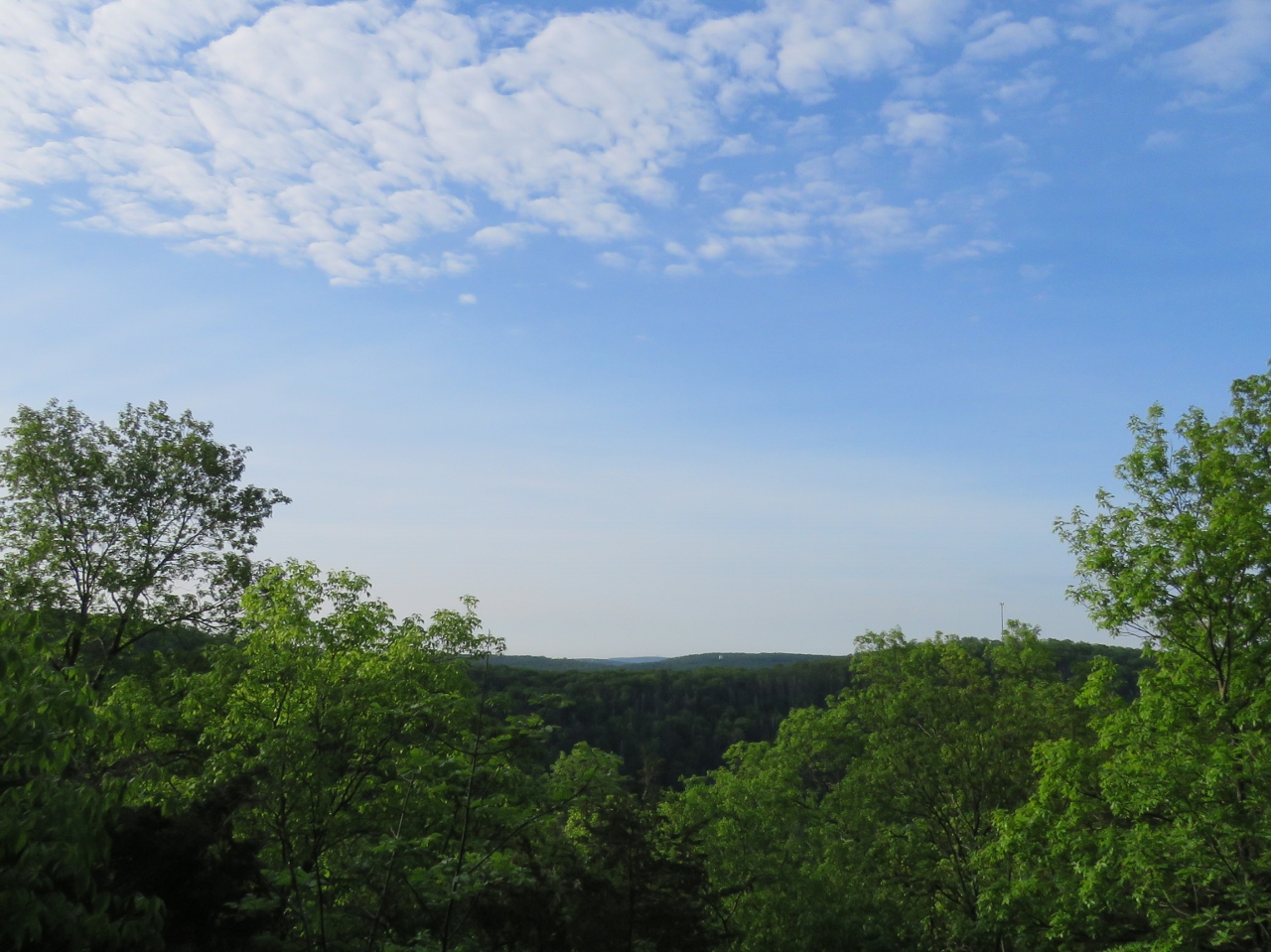
| At the first overlook. |
 |
| Tufted Titmouse |
 |
| Male Scarlet Tanager |
 |
| Even before the second overlook the trail becomes unmaintained and overgrown at times. |
 |
| Back to being easy to follow. |
 |
| Pink Lady Slipper smack in the middle of the trail. |
 |
| The second overlook, Valley View Overlook. |
 |
| Lots of blow downs to maneuver over. |
 |
| I believe this might be a female Scarlet Tanager - a pair in one day! |
 |
| I counted 10 pink lady slippers in this spot. |
 |
| Bear Scat |
 |
| After closely following Dan't track to stay on the trail, hard to do with overgrowth and missing blazes, I came across some very nice trails marked with ribbons near Compton Gobel Road. |
 |
| I decided to take one of these trails since white had become completely impassable. |
 |
| This ended up running right into Dan's track after a while. |
 |
| Not a clue what this means. |
 |
| A woods road lined with bales of hay that descends... |
 |
| ... to Berkshire Valley Road. |
 |
| Crossing straight over Berkshire Valley Road to Blue Road. |
 |
| At a bridge crossing, to the left a dam in the Rockaway River. |
 |
| On the other side of the bridge a trail leads left towards the dam and ... |
 |
| ... Longwood Lake. |
 |
| Heading back in the opposite direction on a woods road along the Rockaway River. |
 |
| A puddle frog with a bug on his head - is that bug biting him? |
 |
| So pretty and peaceful hiking along until .... |
 |
| .... ugh. I HATE HATE HATE HATE HATE them! And they are not allowed but unfortunately, I ran into two more groups of ATVs and dirt bikes. Loud, stinky, disruptive, just plain useless. And illegal in WMAs.. |
 |
| Second group. |
 |
| I think this might be a gray-cheeked thrush. |
 |
| Compliments of ATVs. |
 |
| A side trail down to the Rockaway River. |
 |
| I had found a nice trail along the river that I stayed with instead of Dan's track, hoping to meet back up with it. |
 |
| A lovely trail along the river with no ATVs. |
 |
| It was shortly after a ribbon that the trail fizzled and ended in blow downs. No wonder there were no ATVs on this trail. |
 |
| I was sooooo close to meeting back up with Dan's trail (blue) that I bushwhacked ... |
 |
| ... and came right on it ... |
 |
| ... and had to jump off the trail to avoid being run over by yet more ATVs. |
 |
| Picatinny Arsenal property to the left. |
 |
| The trail ends at Berkshire Valley Road where a right turn ... |
 |
| ... goes across a pedestrian bridge over ... |
 |
| ... the Rockaway River with the parking lot just the other side of the river on the left. |