ABOUT THE PARK:
Blair Creek Preserve - The Nature Conservancy
Blair Creek Preserve - New Jersey Natural Lands Trust
Blair Creek Preserve - Ridge and Valley Conservancy
DIRECTIONS:
GPS Coordinates 41.07083, -74.91821
TRAIL MAPS:
Blair Creek Preserve Trail Map - The Nature Conservancy
Blair Creek Preserve Trail Map - Ridge and Valley Conservancy
HIKE DISTANCE: 5.3 miles
THE HIKE:
Dan and Laura Balogh hiked this in February 2016 and what a different world it was then with no leaves on the trees.
 |
| From the parking lot, to the right of the kiosk... |
 |
| ... the white-blazed trail. |
 |
| At the intersection I turned right on yellow because I wanted to get to Fairview Lake in case there was any wildlife early in the morning. |
 |
| Yellow turns right on Fairview Lake Lane then left a short distance before the parking area. |
 |
| The trail forks and yellow actually goes left but we went right first to this view of Fairview Lake. |
 |
| Back on the other side of the fork on the yellow trail. |
 |
| Heading back - right on Fairview Lake Lane ... |
 |
| ... keeping straight where we came out on yellow before on the left. |
 |
| When Fairview Lake Lane makes a right turn, keep straight on to the white trail. |
 |
| What now looks like a swamp on the left is actually Blair Creek. |
 |
| When Dan and Laura were here in February there were only two logs going across Blair Creek and the had to scoot over on their butts. Now the bridge was there. |
 |
| When white turns left, an unmarked woods rood (not on the map) continues to the right. I took that to get over to yellow. |
 |
| Things get very confusing around the old unused fire pit with old faded beer cans everywhere because it's all overgrown. Thank goodness I had saved Dan's track to my GPS so I could find my way over to yellow |
 |
| But first an out and back to Blair Creek. |
 |
| Heading back to the trail I would have never taken since it was so overgrown, but it is where Dan's track took me. Apparently it was not overgrown in February! |
 |
| It goes through a wet area then skirts a field before... |
 |
| ... meeting up with yellow. |
 |
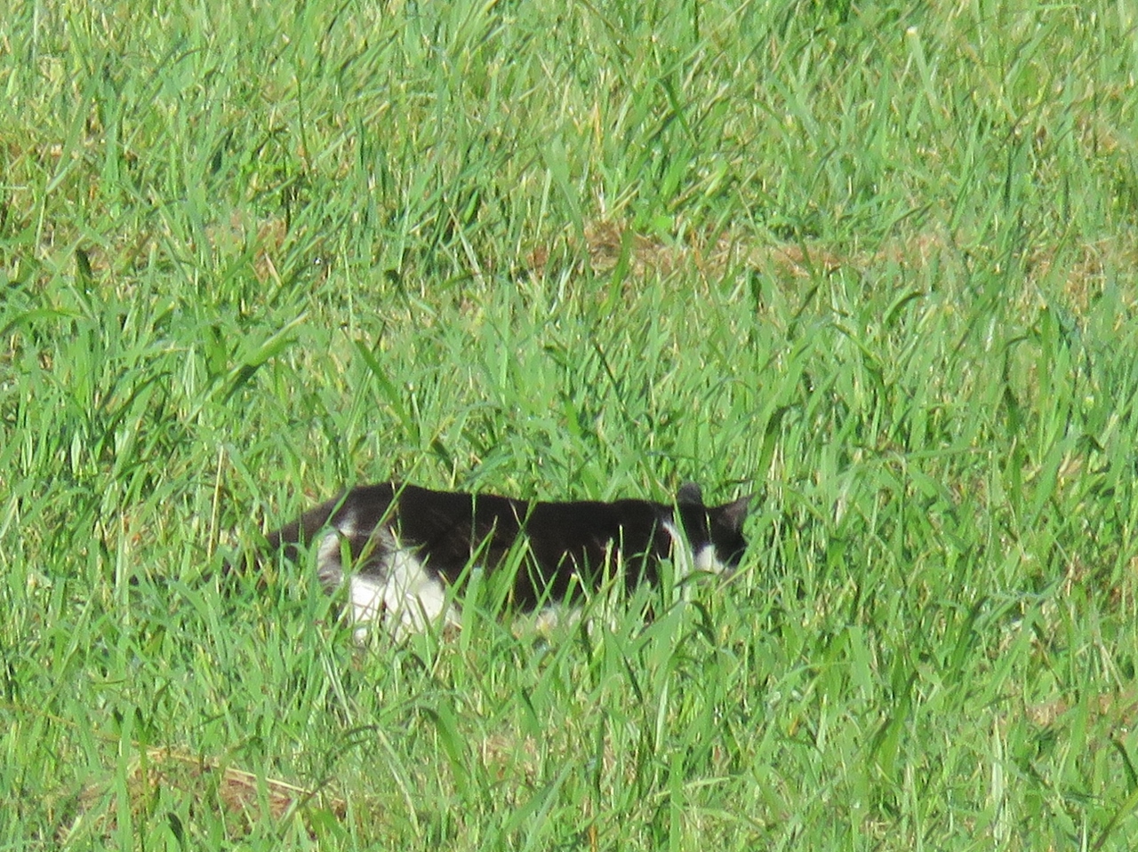
| Another pond on the right. We bushwhacked in a little closer and found all kinds of wildlife. |
 |
| Common merganser ducklings! Mom had already swam by to the left. |
 |
| There they go to catch up with mom. |
 |
| Another mom common merganser with ducklings. |
 |
| That Great Blue Heron, so intent on breakfast. |
 |
| At the intersection with white, I turned left on white on the section I had not yet hiked. |
 |
| This follows along the opposite side of Blair Creek from earlier. |
 |
| Tufted Titmice. |
 |
| More tufted titmice. They were everywhere. |
 |
| Not a tufted titmouse. A red-eyed vireo maybe? |
 |
| The Kittatinny Ridge in the distance with the Appalachian Trail running along the top. That would be where tons of people were hiking but nobody else was in this preserve. |
 |
| Continuing on white. |
 |
| The is where white turns right towards the new bridge from earlier. Straight ahead is the unmarked woods road we took when we came off of the bridge to meet up with yellow. Now we would be retracing the first part of white. |
 |
| Looks like a bear was turning over rocks. |
 |
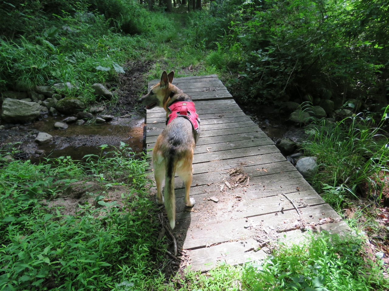
| The water was low enough for Shawnee to ford across ... |
 |
| ... while I took the new bridge. |
 |
| Blair Creek |
 |
| Continuing on along Blair Creek. |
 |
| Sometimes she avoids... |
 |
| ... sometimes she doesn't. |
 |
| White ends at Fairview Lake Lane. |
 |
| It's a short road walk back to the car. |
With the permission of Dan Balogh, some comparison pictures of our hikes in different seasons, February 2016 versus July 2016. Some pictures were taken in the exact same spot, others in the same general area, my pictures on the left, Dan's on the right.