ABOUT THE PARK:
Trails of the Upper Delaware River Valley - National Park Service
DIRECTIONS:
GPS Coordinates 41.558605, -75.077427
 |
| I had parked in this lot because I could not see that there was more parking up ahead closer to the gate. |
TRAIL MAP:
Two slightly different versions of the map yet there were more trails and parking lots than shown on either map.
State Game Lands 316, PA - Cobey Pond at EveryTrail
HIKE DISTANCES:
These four hikes all done in one day along with a scenic drive from one to the other.
SGL 316, PA - Cobey Pond - 2.5 miles
drive 9.3 miles/20 minutes to
Damascus Forest, PA - 1.5 miles
drive 26.4 miles/53 minutes to
Bouchoux Trail - Jensen's Ledges, NY - 2.5 miles
drive 34.5 miles/57 minutes to
Tusten Mountain Trail, NY - 3.5 miles
THE HIKE:
 |
| Beautiful drive early in the morning. |
 |
| Entering the SGL, you cross over scenic Masthope Creek. The map shows a trail along the creek. Must go back! |
 |
| We had to walk farther on that hideous chunky gravel than we had to as to the right (left facing the gate) is a parking lot that can't be seen when you pull in. |
 |
| This is called the Cobey Pond Trail but there is nothing that says that, no markers, no blazes, nothing. I went right here since I could see there was none of the gravel to the left and figuring that was the return route, wanted to get the gravel out of the way first. |
 |
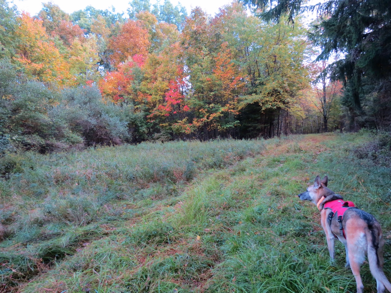
| The foliage was pretty. |
 |
| But that gravel was icky for both of us and I was becoming very disappointed with this hike. |
 |
| Finally some room off to the side with no gravel. |
 |
| Good morning! |
 |
| Ah ha, the source of all of the annoying gravel. |
 |
| And Cobey Pond beyond that but first to the dock. |
 |
| Starting a counter clockwise look with just a little more gravel ... |
 |
| ... and it ends before the bridge. |
 |
| Looking back at the dock. |
 |
| Easy going here. |
 |
| Now we were enjoying this hike and it turned out to be quite nice. |
 |
| This gentleman must have been in his late 70's and he JOGGED right by us! |
 |
| After going around 3 sides of the pond, take the right fork. |
 |
| A look back at the pond. |
 |
| At the next fork, veer left. |
 |
| End up back on the chunky gravel and turn right to... |
 |
| ... the gate and ... |
 |
| ... the parking lots beyond. |