ABOUT THE PARK: DIRECTIONS:
GPS Coordinates 40.25971, -77.10411
 |
| Parking at Scott Farm. There are 7 available spots that are not only used by hikers but also be people fishing in Conodoguinet Creek so if this lot is full (there is no parking allowed on the grass) ... |
 |
| ... alternate parking on Sherwood Drive at 40.27365, -77.09948. This would involve a 1-mile hike each way to Scott Farm to capture the section along Conodoguinet Creek (which is definitely worth it) before continuing on the rest of the hike. |
TRAIL MAPS:
HIKE DISTANCE: 11.7 miles
THE HIKE:
When I read that a group hike was taking place on Monday, April 21, 2025 to see the Virginia Bluebells in bloom on the AT along Conodoguinet Creek, I knew where I was going the Friday before on Good Friday, a work holiday! The bluebells did not disappoint. The only disappointment was the sheer number of off leash dogs, 7 total on this hike. It is not just the off leash issue but that the owners allow them to run full speed straight at us, and that is if the owners are even anywhere in sight which they often are not. Brodie has become reactive because he has been charged by off leash dogs so many times. That puts a huge damper on an otherwise fantastic hike. It is NEVER OK to allow a dog to approach another dog without permission. NEVER.
 |
| To start off, we crossed the bridge (which is the AT) to get a view of ... |
 |
| Conodoguinet Creek |
 |
| A common merganser couple. |
 |
| Heading back across the bridge, a hard left ... |
 |
| ... under the bridge. |
 |
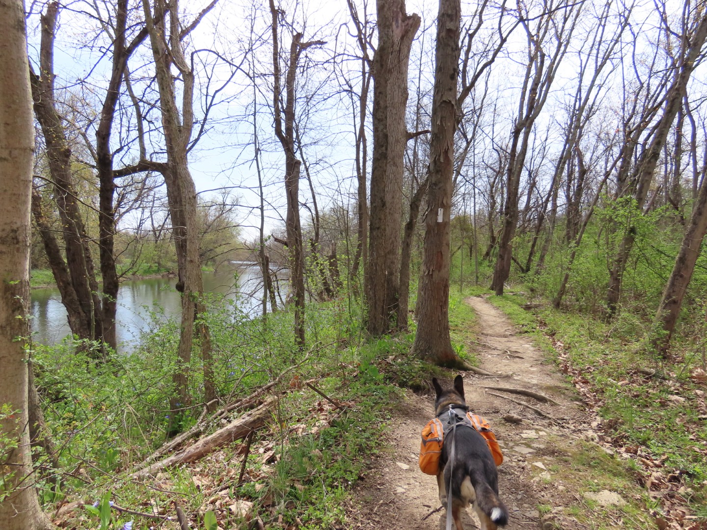
| The bluebells start almost immediately. |
 |
| There was a detour around this bridge that is out. |
 |
| Coming up on the other side of that bridge, there was a sign that said it was due to be replaced Fall 2024. |
 |
| Thinking I might check it out on the way back. |
 |
| I heard a splash in the creek and was able to quickly snap this picture. |
 |
| Zoomed in to the far side of the creek for another shot. I am pretty sure this is a mink, the first I have ever encountered. |
 |
| Profusion of bluebells everywhere. |
 |
| Several side trails lead to the creek for better views. |
 |
| Lots of birds coming in on the Merlin Sound App, in particular the warbling vireo which is the first migrant I have heard this year. |
 |
| Coming up on Sherwood Drive ... |
 |
| ... right towards the parking area ... |
 |
| ... then across the bridge to the other side of Sherwood Drive. |
 |
| We would be on top of that ridge up ahead in a bit. |
 |
| Fortunately there is a tunnel under Route 944 because it is pretty much a constant stream of traffic. |
 |
| Passing Johnna Stables on the left. |
 |
| Up to this point the trail had been so clear and smooth that I had to wonder if I hadn't missed an exit and wasn't in Pennsylvania. It was so un-Pennsylvania-like to not have rocks everywhere on the AT. |
 |
| Even when the trail did become rockier as it started to ascend, it wasn't very rocky at all. |
 |
| Hermit Thrush |
 |
| The blue trail on the left leads to a water source for thru-hikers. |
 |
| And on the right, well, not quite sure what that used to be. |
 |
| I thought a frog had jumped in from of me but it turned out to be a huge wolf spider. |
 |
| The trail goes uphill on long switchbacks. |
 |
| Nice views up high but they will be gone as soon as the leaves all come in. |
 |
| A stone bench built into the side of the mountain at ... |
 |
| ... a view of the Cumberland Valley. |
 |
| At the top, an intersection with a couple of other trails. To the right is the Darlington Trail - we would be returning that way. To the left is the beginning of the Tuscarora Trail. |
 |
| For now, straight ahead on the AT. |
 |
| I took the blue trail on the right to check out the shelter. |
 |
| Darlington Shelter |
 |
| A bit farther on the AT then right on a trail with very faint yellow markings. |
 |
| The markings end as the trail becomes a woods road. |
 |
| After about 1 mile on this trail, right on an unmarked trail uphill. |
 |
| As soon as an orange blaze of the Darlington Trail comes into view, a hard right on orange. |
 |
| The Darlington Trail ascends then goes over to the other side of the mountain. |
 |
| A patch of bluebells up here also. |
 |
| Coming back up on that intersections where we turned left to retrace on the AT. |
 |
| I had hoped to grab that stone bench for a break on the way down but I could see that it was occupied. |
 |
| It had become crazy windy up high anyway so I waited until we were at a lower level to find a break spot. |
 |
| Passing back by the horse stables. |
 |
| Back under Route 944. |
 |
| I hadn't noticed that spider on the trout lily until I uploaded the picture. |
 |
| The trout lilies must have just bloomed because there weren't any on the way out. |
 |
| Back at Sherwood Drive. |
 |
| I had intended to just take a look but the bridge was passable all the way over. |
 |
| It was just missing handrails on the new section. |
 |
| Just before Scott Farm, right on the blue-blazed trail ... |
 |
| ... across the road and back to the parking lot. |