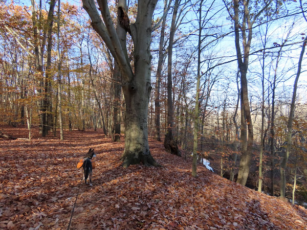
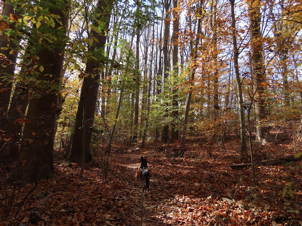
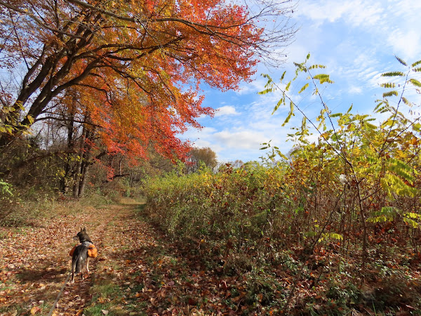
Sunday, November 19, 2023

Ringwood State Park, NJ - Unmarked Trails from Ryerson School

ABOUT THE PARK: 
Ringwood State Park - NJ Department of Environmental Protection
 
DIRECTIONS: 
GPS Coordinates 41.10797, -74.24447
Parking at Ryerson Middle School

TRAIL MAP:


HIKE DISTANCE:  8.3 miles

THE HIKE:
This hike is on mostly unmarked trails.  It really requires planning a route with an app and following that closely as sometimes there are 3-4 different ways to go at intersections and with no trail markers, you have to know which way to go or you either go in circles or way off track.
To access the trails, walk back towards the parking lot entrance to the end of the fence ...
... then left around the end of the fence.
This follows back along the parking lot ...
... to the trails.
We turned right to access unmarked single track trails through Catnest Swamp.
Not something you would expect to see in the middle of the woods.
Pileated Woodpecker
The woods road climbs to the ridge with winter views.
But heading north the gunfire from the shooting range farther north is very loud and that starts at 9 AM on weekends.
I had to alter my planned route as it would have headed south them north again and Brodie's gunfire anxiety had kicked in.  Not to mention hiking to the sound of incessant gunfire is not my idea of a good time.  It's a shame because it's a beautiful area otherwise.
Pierson Ridge
Having descended into the valley and heading south we could no longer hear the gunfire.
Following the marked Five Ponds Trail for a bit.
On white ...
... then red to ...
Warm Puppy Rock
Descending on red ...
... to an unmarked woods road.
I was just thinking that the wide open gate was probably the source of illegal ORV riding which had destroyed sections of woods road we had hiked when ...
... well, here you go, enter the illegal dirt bike heading straight for the sign that says NO MOTORIZED VEHICLES.  I think a closed gate would have worked better than the sign.
Coming back up on Ryerson Middle School.

Sunday, November 12, 2023

Clayton Park, NJ

ABOUT THE PARK: 
Clayton Park - Monmouth County Parks

DIRECTIONS: 
GPS Coordinates 40.15592, -74.50462

TRAIL MAP:
Clayton Park Brochure - Monmouth County Parks


HIKE DISTANCE:  7 miles*
*with accidentally doing the .35 miles Glen Trail loop twice

THE HIKE:
This was the working-my-way-back hike after the last round of chemo.  It's an easy hike with rolling hills and smooth trails other than a few roots here and there.  Lots of mountain bikers and dog walkers. The many dogs that we encountered all had their humans leashed.  How nice for a change.  
Heading across the grass from the middle of the parking lot to the start of the trails.
We mostly kept right at intersections but it looks like a new trail is going in that is not on the map so not knowing where that went, I avoided it.
Doctor's Creek below on the right - you really don't see very much of it on this hike.
Coming out on the fields where we would hike in a bit but first ...
... a hard left ...
... along the pond.
Then on to the Glen Trail  for a loop before heading back.
I ended up going around the loop twice because I missed the turn which is just after this fence.
Back along the pond...
... then the Clayton Fields Trail counterclockwise (the trail markers will all be in the other direction).
Imlaystown Lake
There is another parking lot on Davis Station Road.  It was empty where the main lot was pretty full after we finished hiking.
I could see dogs charging across their yard up ahead and zoomed in to see if I needed to turn back or continue on.  I could see the electric fence shock collars and I have to say I DESPISE those fences.  Hoping the dogs would not break through (it happens often) we proceeded around
The problem was incessant barking in my ear the entire way along that house.  Any owners in sight?  Nope.  I have never allowed my dogs to bark and annoy people.  One woof and you are in, that is my rule.  This was highly annoying so something to keep in mind if you hike this loop and those dogs are out.
As I mentioned before, the markers are all facing the other way if you go counterclockwise.
A hard right turn ...
... to head back to the parking lot.