Harriman State Park - New York State Parks
DIRECTIONS:
GPS Coordinates 41.275333, -74.088773
 |
| Lake Tiorati Parking |
HIKE DISTANCE: 10.7 miles
THE HIKE:
 |
| Starting on the blue Lake Tioroti Trail from the parking lot. |
 |
| At the T-intersection with a water tower on the left, right on... |
 |
| ... the Appalachian Trail/Ramapo-Dunderberg Trail for a few steps ... |
 |
| ... then left on Arden Valley Road to a right on the Long Path at the bend up ahead. |
 |
| I had not done this 2-mile section of the Long Path yet so it was incorporated into this hike. |
 |
| As we were hiking along ... |
 |
| ... a little ruby crowned kinglet similar to this one landed on Brodie's leash - TWICE! - and I missed the shot both times. These kinglets were everywhere and they are FAST! |
 |
| At the intersection where yellow starts to the right, we turned left on an unmarked woods road. |
 |
| At the next intersection, right on Baileytown Road. I was in search of a cemetery shown on the map along this route. |
 |
| And here it is. It is surrounded by a stone wall so you can't miss it. |
 |
| There aren't very many tombstones left. |
 |
| Continuing on Baileytown Road. |
 |
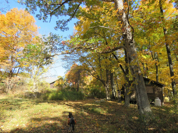
| Coming up on Camp Lanowa which was boarded up for the winter. |
 |
| The path becomes a little better defined but it is not as clear as the unmarked trails were up to this point. |
 |
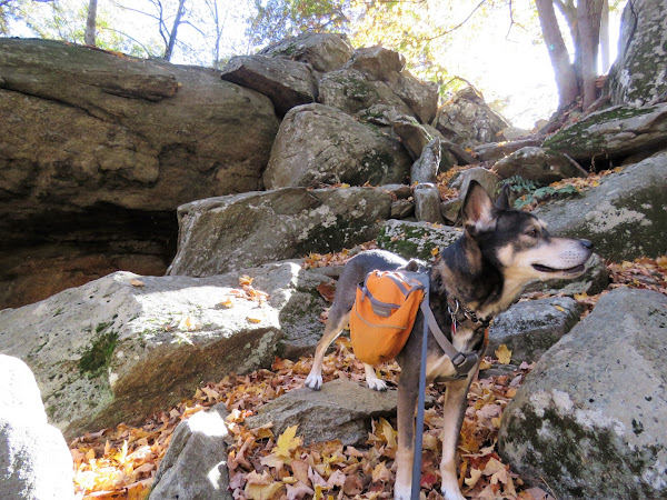
| Some manmade stonework in the rocks. |
 |
| It was a difficult scramble up because the sun was directly in my eyes and I could see nothing. |
 |
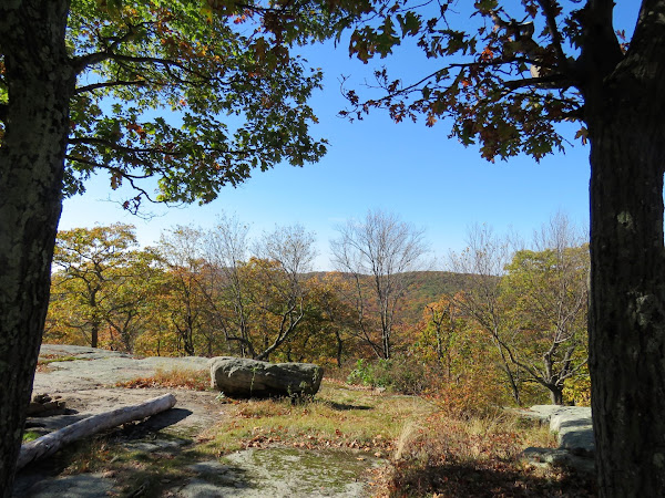
| At the top ... |
 |
| ... with some partial views. |
 |
| Coming up on the Stockbridge shelter. |
 |
| After descending a rocky section ... |
 |
| ... we turned left on yellow where we had gone the opposite way earlier down to that cemetery. |
 |
| Lake Nawahunta |
 |
| The yellow trail crosses the inlet ... |
 |
| ... and continues through a very pretty area along the other side of the lake. |
 |
| The yellow trail continues the other side of Seven Lakes Drive. |
 |
| Crossing through the Silvermine Lake parking lot. |
 |
| Silvermine Lake |
 |
| We followed the woods road along the north side of Silvermine Lake and crossed the dam. |
 |
| At the end of the dam an unmarked trail descends steeply to the left ... |
 |
| ... then crosses the outlet. |
 |
| Continuing on a woods road along the eastern side of the lake. |
 |
| The woods road then leaves the lake. |
 |
| The Appalachian Trail/Ramapo-Dunderberg Trail crosses over; we turned right. |
 |
| William Brien Memorial Shelter |
 |
| A partial view of the Hudson River. |
 |
| I had gotten a later start than usual on this hike and the sun was setting so we needed to pick up our pace. |
 |
| Where the Appalachian Trail leaves to the right we stayed left on Ramapo-Dunderberg. |
 |
| Coming out on Tiorati Brook Road at Lake Tiorati. |
 |
| Coming up on the Tiorati Circle. |
 |
| Back at the parking lot just before dark. It was completely dark by the time I pulled out of the lot. |


