Brandywine Falls - National Park Service
DIRECTIONS:
GPS Coordinates 41.263190, -81.557269
 |
| Boston Trailhead Parking |
TRAIL MAP:
HIKE DISTANCE: 6.1 miles (5 miles without construction detour)
THE HIKE:
This was hike 2 of 3 on the second day of the drive from Missouri to New Jersey.
The Brandywine Falls loop is only 1.4 miles so to make a more substantial hike out of it, I started from the Boston trailhead. There is a parking lot right at Brandywine Falls so the falls are very crowded on weekends.
 |
| From the parking lot taking the path to a right on ... |
 |
| ... the Ohio & Erie Canal Towpath Trail. |
 |
| Cuyahoga River |
 |
| Passing the Boston Store Visitor Center and crossing Boston Mills Road... |
 |
| Lock 32 |
 |
| Turning right on a connector to the Stanford Trail. |
 |
| At Stanford House the Stanford Trail starts at the kiosk. |
 |
| A colony of black squirrels live here. I had seen a few along the way. |
 |
| Here we turned right. I later continued on the road to the left when we had to retrace due to the trail closure. |
 |
| Just after the parking lot on the right, the boardwalk begins. |
 |
| Taking a left ... |
 |
| ... down 70 steps. I counted. |
 |
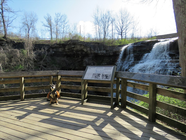
| This leads to a platform right in front of Brandywine Falls. |
 |
| Back up 70 steps. |
 |
| At the top looking down at the falls and the platform where we had just been. |
 |
| Continuing on around the loop we ran into the trail closure and had to retrace. |
 |
| Back at that intersection where we had turned right earlier, we now kept straight on the old road. |
 |
| It's a very old eroded road... |
 |
| ... that runs right back into the Brandywine Gorge Loop just before ... |
 |
| ... a bridge over Brandywine Creek. |
 |
| Climbing back up out of the gorge along Brandywine Creek. |
 |
| A view up Brandywine Creek all the way to the falls. |
 |
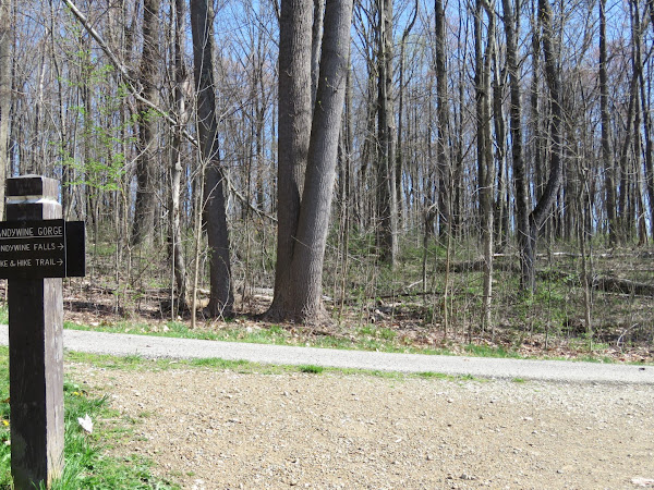
| The trail turns right following the Bike and Hike Trail ... |
 |
| ... which was closed a short distance ahead due to construction. |
 |
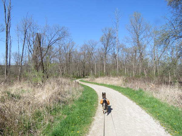
| Heading back. |
 |
| Additional time spent due to the trail closure put me behind schedule so I turned right on the old closed road (open to bikes) for faster going instead of retracing the way we had come. |
 |
| After making a right turn I could see a huge flooded out section up ahead. Fortunately there was a dry path around it. |
 |
| Shortly after the gate ... |
 |
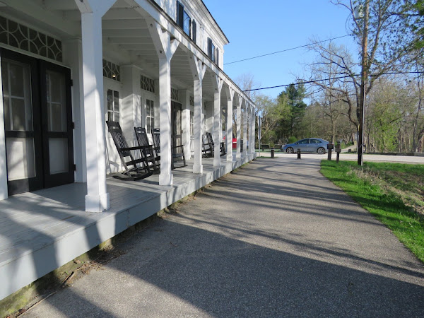
| ... passing by Stanford House ... |
 |
| ... and turning right on the connector trail back to the towpath trail. |
Wildflowers seen along the hike:


