

Black Rock Forest - Black Rock Forest Consortium
NOTE: Every year Black Rock Forest closes for hunting (in 2021 from 11/20 - 12/12) other than that no hunting is allowed.

DIRECTIONS:
GPS Coordinates 41.402277, -74.047528
 |
| Mine Hill Road Parking - Room for about 5 cars, no parking along the road. |
TRAIL MAP:
Black Rock Forest Trail Map - Black Rock Forest Consortium
West Hudson Trails Map 113 - New York New Jersey Trail Conference
I highly recommend the trail conference map above on the Avenza app for this hike.
HIKE DISTANCE: 11.2 miles
THE HIKE:
 |
| Leaving the parking lot turn right and the trail head is a few steps ahead on the left. |


 |
| I haven't seen too many of these red efts this year but there were two early on during this hike. |
 |
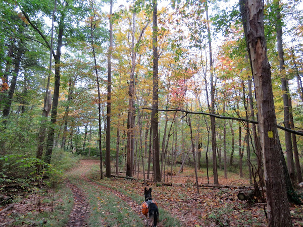
| We turned right on the Sackett Trail and would be returning from the left. |


 |
| A rickety crossing on the Arthur Trail through a swamp. |
 |
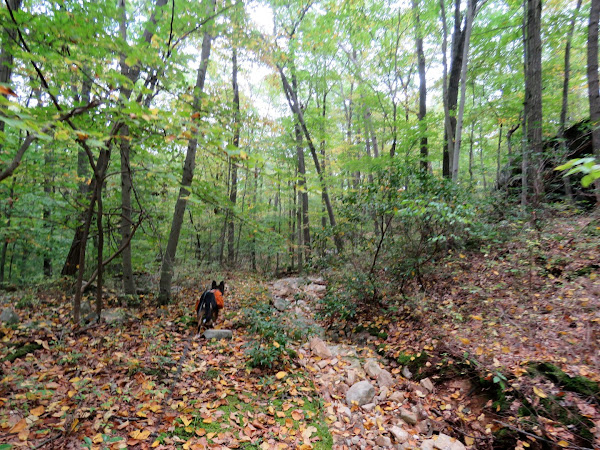
| At the Scenic Trail we turned left and would be staying on that mostly for a while except ... |

 |
| ... to divert to the right to Eagle Cliff ... |
 |
| ... for views. |

 |
| The blue Eagle Cliff Trail continues as a red trail. |


 |
| Left on yellow ... |
 |
| ... back to right on white. |
 |
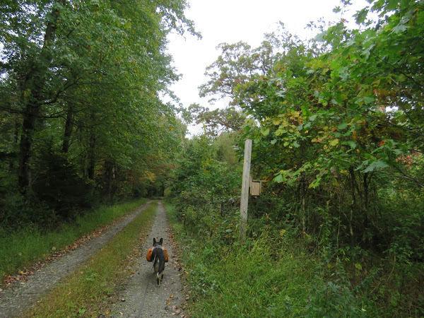
| White will turn on to a gravel road ... |

 |
| ... then leave to the left as a footpath to ... |

 |
| ... views at Rattlesnake Hill. |

 |
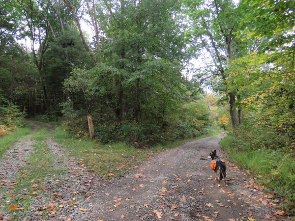
| Right on Carpenter Road when white crosses over to ... |
 |
| ... right on Go Down Road. |

 |
| We soon came upon a tangle of blow downs but were able to get through. |
 |
| I could see more obstructions ahead and almost turned back but kept going. |
 |
| Beyond the blow downs the trail is clear again. |
 |
| The old road bed becomes very eroded going downhill. |
 |
| It does smooth out again. |


 |
| A left here would loop back around the way we came we turned right. |
 |
| From this point forward the old road is very well defined and completely clear. |


 |
| We continued on the woods road passing where white crosses over, then right on Meadow Road to left on ... |
 |
| ... another white-blazed trail, not the Scenic Trail rather the White Oak Trail. |

 |
| The trail turns right steeply downhill just before a dam ... |
 |
| .... then crosses the spillway. |
 |
| Arthurs Pond |
 |
| We stayed right on Continental Road when white went left. |
 |
| White Oak Tree |
 |
| Continental Road |


 |
| Passing by the Stillman Trail ... |
 |
| ... then left on the Sackett Trail. |


 |
| I had wanted to hike the newer loops off of the Sackett Trail but I was already at almost 11 miles and it would have added another 2 miles with more elevation changes than I had energy remaining for so decided to save that for another time. |


 |
| Right on Mine Hill Trail to retrace to the parking lot. |

 |
| Mine Hill Road down below ... |
 |
| ... with a now packed parking lot and cars parked illegally along the road. |