ABOUT THE PARK:
Campgaw Mountain Reservation - Bergen County Parks
DIRECTIONS:
GPS Coordinates 41.051821, -74.191408
 |
| Parking Area Q - almost at the far end Park Drive away from the more heavily used parking areas. |
TRAIL MAP:
Campgaw Mountain Reservation - NYNJ Trail Conference (free map)
North Jersey Trails Map 115 - NYNJ Trail Conference
Powered by Wikiloc
HIKE DISTANCE: 9.25 miles
THE HIKE:
My intention was to hike trails I had not hiked back in December 2014 in addition to newer trails added since that time. I initially regretted my decision to hike here. At 7 AM there were already too many people and too many (MANY) off leash dogs. I dodged both through the more popular areas but once on the Backslope Trail there was nobody else around. Then later in the hike I found a whole network of trails not on the map and had that all to myself. It saved the day!
 |
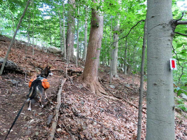
| From this parking area you literally take two steps into the woods ... |
 |
| ... and turn left on the red trail. |
 |
| Red soon crosses over Park Drive. |
 |
| Passing through a power cut. |
 |
| At the end of red we turned left to loop around the pond on orange. |
 |
| Authorized personnel go into that? |
 |
| A baby! |
 |
| I really don't want to touch litter in this era of COVID so I treat it like poop when picking it up. |
 |
| Managed to wrangle another one into that same poop bag without touching it. I will never be able to wrap my head around the fact that so many people think this is OK. |
 |
| Coming out on the ski area parking lot where the trail turns right following the perimeter of the lot to ... |
 |
| ... the corner where there are no markers and where it is overgrown. |
 |
| Once through the overgrowth several downed trees block the way. |
 |
| Beyond all of that, the trail is clear the rest of the way up the mountain. |
 |
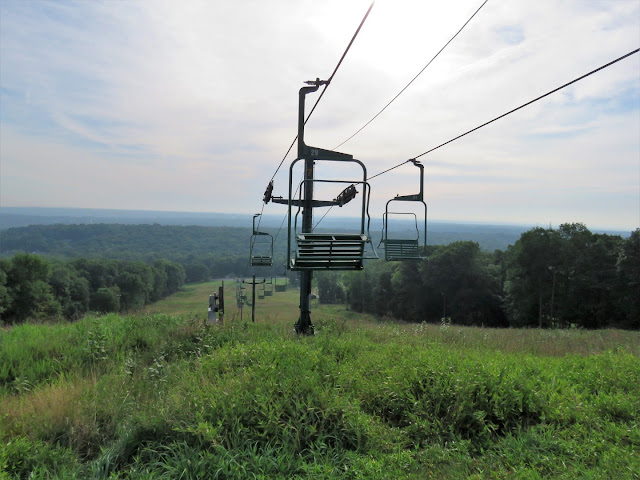
| Coming up on views at the top of the ski trails. |
 |
| Female house finch. |
 |
| Birds seem to enjoy hanging out on the ski lifts. |
 |
| Two male and one female American goldfinch. |
 |
| Eastern bluebird and barn swallow. |
 |
| Looping around over to the yellow Backslope Trail where we encountered nobody else. |
 |
| These two ... |
 |
| ... let us get very close before they took off. |
 |
| The first cistern. |
 |
| Second cistern. |
 |
| With nobody else around we took a break right on the trail. |
 |
| At the end of yellow back at the top of the mountain. |
 |
| Swinging by the overlook one more time while nobody was there. |
 |
| The birds were all gone but the barn swallows returned while I was standing there. |
 |
| Heading over to the newer silver-blazed trail via blue ... |
 |
| ... then red. |
 |
| After a very short distance on silver ... |
 |
| ... right on an unmarked woods road. |
 |
| This woods road is clear and easy to follow. I had intended to follow the loop around back to silver. |
 |
| We passed a couple of very distinct trails to the right. |
 |
| A bridge on the left where the loop of the woods road continues. |
 |
| But I decided to follow the path along the dry creek which would be very nice with water flowing. |
 |
| Some very faint paint blazes. |
 |
| A bridge! Instead of turning left over the bridge, we turned right on a trail to see where that would lead. From this point on none of these trails are on any map. |
 |
| Some green paint blazes along this trail. |
 |
| As I suspected, confirmed by the tire tracks, these are mountain bike trails. |
 |
| Indeed, we ended up about half way between those two bridges and turned right heading to the second one. |
 |
| Now left over this bridge where we had turned right previously. |
 |
| A marker, the only one I saw. |
 |
| There are several trails splitting of in this area but we headed to the left in search of that first bridge ... |
 |
| ... where we ended up coming in the opposite direction from where we had been previously. |
 |
| We backtracked a little then kept left staying with the remainder of the woods road loop we had started. This side of the woods road was not as well-defined as the first section. |
 |
| Old horse riding trails? |
 |
| The dashed like on the Gaia app is the silver trail and we were on course to meet back up with it. |
 |
| And here we are back on silver where we turned right. |
 |
| Passing by Mevo Farm. |
 |
| Back on red ... |
 |
| ... coming out right where I had parked. |


