ABOUT THE PARK:
Taconic State Park Rudd Pond Area - NY State Parks, Recreation and Historic Perservation
South Taconic Trail Extension - NYNJ Trail Conference
DIRECTIONS:
GPS Coordinates 41.967493, -73.497402
 |
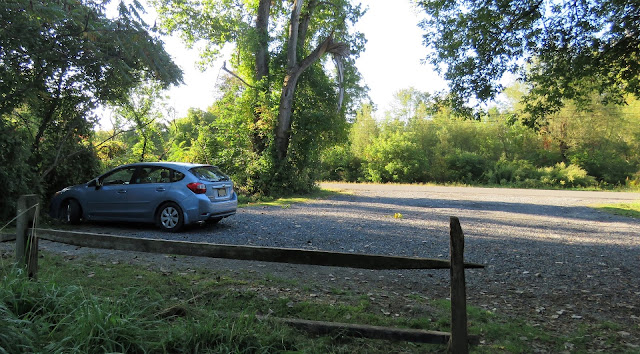
| Shagroy Road Parking |
TRAIL MAP:
South Taconic Trails Map - NYNJ Trail Conference (2015 edition shows trail as proposed)
Taconic State Park Southern Section Trail Map - NY State Parks
HIKE DISTANCE: 13 miles
THE HIKE:
 |
| The southern end of the South Taconic Trail starts from the parking lot. |
 |
| Creek crossing is dry this time of year. |
 |
| Coming up on ... |
 |
| Iron Mine Pond. |
 |
| The red Rudd Pond Trail comes in from the left; we would be coming that way on the return route. |
 |
| Iron Mine Pond down below to the right. |
 |
| The South Taconic Trail follows a woods road gradually uphill. |
 |
| Ruins along the way. |
 |
| Passing the other end fo the red Rudd Pond Trail where we would be turning on the return route. |
 |
| The first view of the Harlem Valley. |
 |
| The Catskills in the distance. |
 |
| All the creek crossings are dry. |
 |
| The trail alternates from rocky creek beds ... |
 |
| ... to lush forest. |
 |
| Crossing Kaye Road which leads to private property on the right. |
 |
| Multiple views along the way. |
 |
| The trail becomes steeper and more rugged just before ... |
 |
| ... the most spectacular viewpoint. |
 |
| Heading back. |
 |
| One little shriveled up blueberry left on the blueberry plants that were starting to turn red for autumn. |
 |
| Turning right on red ... |
 |
| ... which is a woods road that descends steeply at times. With all of the acorns falling, it was like walking on marbles at times. |
 |
| At the end of the woods road ... |
 |
| ... left on Rudd Drive where there are no red markers. |
 |
| Rudd Pond |
 |
| Continuing straight into the campground which was now closed. I was exhausted and it was all I could do not to park myself on one of those platforms and take a nap. But I was also hungry and wanted to make it to McEnroe Farm Market for a veggie wrap before they closed so on we went. |
 |
| At the end of the campground road, the red trail continues to the left of the dumpsters at the far end of the circle. |
 |
| This woods road ends at the white South Taconic Trail ... |
 |
| ... where a right turn leads back to ... |
 |
| ... Iron Mine Pond. |
 |
| The parking lot was quite full. I had seen nobody they entire hike until the very end. |
 |
| And on to McEnroe Farm Market on the way home about 10 minutes away from the hike. |
 |
| Their produce prices were outrageously expensive so I did not buy anything except the vegan veggie wrap which was soooooo good and HUGE. Half went in the cooler for after the 2 1/2 hour drive home. |
 |
| Brodie loves veggies so I had to share. |


