ABOUT THE PARK:
Schunemunk State Park - New York State Parks
DIRECTIONS:
GPS Coordinates 41.413895, -74.121189
NOTE: As of 10/24/2019 this hike is no longer doable from this parking area per a post on the NY Metro Area Trail Conditions group on Facebook:

|
| Parking is a little tricky to find. There is no sign. Pull in between the two white posts shown by the red arrows. |
TRAIL MAPS:
Schunnemunk State Park Trail Map - New York State Parks
West Hudson Trails - New York New Jersey Trail Conference
HIKE DISTANCE:
Schunemunk State Park Western Section - 6.2 miles
hiked together with
Sterling Forest State Park - Long Swamp Loop - 3.3 miles
THE HIKE:
Where the eastern side of the park can get insanely crowded, this is a very quiet side. I never ran into anyone else and there was only one car parked by mine when I finished.
 |
| The trail starts across the field at the tree line. A path is mowed to the right and around to the trail head. |
 |
| The trail switchbacks up on a woods road and enters state park land.. |
 |
| Higher up the trail becomes rockier. |
 |
| We startled a nest of grouse just off the trail and they went flying everywhere. One of the juveniles thought he was invisible behind the leaves. |
 |
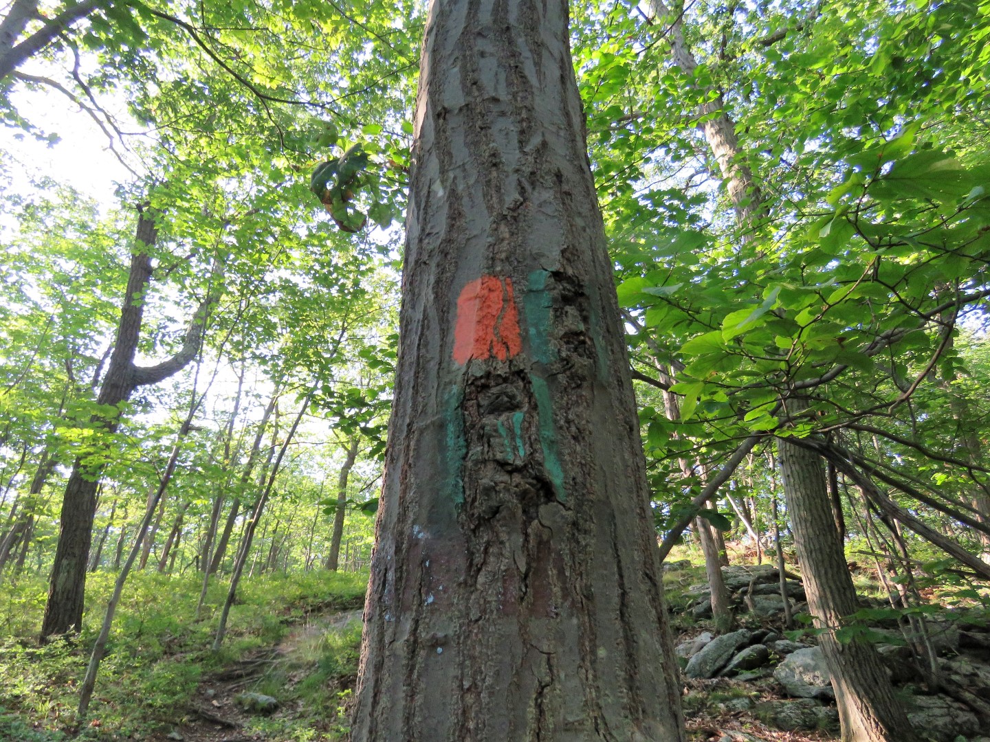
| Before a reroute, this used to be the route of the Long Path so sometimes teal paint is still visible. |
 |
| At the ridge, the trail surface becomes mostly puddingstone. |
 |
| At the very top it's like stepping into another world of pitch pines. |
 |
| We stayed right on orange, red dot on white coming in from the left would be our return route. |
 |
| Views of the Catskills behind us. |
 |
| Then open views to the west. |
 |
| Views more to the south. |
 |
| Eastern Towhee singing back and forth with another we had passed a few minutes before. |
 |
| Entering private property. |
 |
| Here is where we left orange on the soft, mossy red dot on white Barton Swamp Trail. |
 |
| This trail descends and makes a hard left where blue dot on white joins in briefly. |
 |
| It's mostly old woods road all the way through. |
 |
| Crossing Baby Brook |
 |
| At the yellow Jessup Trail, red dot on white turns left and .. |
 |
| ... crosses Baby Brook again. |
 |
| Then it's a steep climb, sometimes scramble, up to the top. |
 |
| Brodie slid back down this one three times until I got close enough to give him a boost up. |
 |
| Views of the Hudson River near the top. |
 |
| A little farther along, a boulder on the left ... |
 |
| ... for more views. |
 |
| Red dot on white ends at orange where we came up. Now retracing back down. |
 |
| Some views of the Shawangunk Ridge with hazy Catskills in the distance on the way down. |
 |
| Indian Pipe |
 |
| Much to Brodie's delight, a groundhog was waiting for him at the car. I held Brodie back while the groundhog made his getaway. |