ABOUT THE PARK:
Black Rock Forest - Black Rock Forest Consortium
DIRECTIONS:
GPS Coordinates 41.420258, -74.027786
 |
| Parking at 9W and Peck Road |
TRAIL MAP:
West Hudson Trails Map 113 - New York New Jersey Trail Conference
This map on the Avenza app comes in very handy as intersections can be confusing.
HIKE DISTANCE: 8.8 miles
THE HIKE:
 |
| The white-blazed Black Rock Hollow Trail starts from the parking area. |
 |
| A kiosk a short distance along with unmarked Hulse Road to the right which would be our return route. |
 |
| The trail follows a pretty creek on the left. |
 |
| It was 24 degrees so there was lots of ice. |
 |
| Coyote tracks on the ice and we would be seeing many more of those tracks in the snow. |
 |
| Just before the water filtration plant, blue starts to the left, white leaves the road to the right. |
 |
| Right on white for us. |
 |
| I almost got .... |
 |
| ... a pileated woodpecker. |
 |
| Had much better luck with this white-breasted nuthatch. |
 |
| We had a few minutes of sunrise before clouds started taking over in preparation for a snow storm coming later in the afternoon. |
 |
| Looking back at Butter Hill in Storm King State Park. |
 |
| Brodie was an excellent indicator of hidden ice under snow when he would wipe out :( Did he learn not to step on the snow? Of course not. |
 |
| At the end of white with Aleck Meadow Reservoir down below ... |
 |
| ... right on the teal Highlands Trail/yellow Stillman Trail for a short distance. |
 |
| A leaping mouse? |
 |
| Then left on White Oak Road. Based on the footprints and paw prints, this is apparently a very popular road. On almost all of the other trails we were on during this hike, it was mostly me, Brodie and the coyotes. |
 |
| The White Oak Tree up ahead where the rest of the world turned right ... |
 |
| ... and Brodie and I followed a single set of coyote tracks to the left. It always fascinates me how they follow the roads. |
 |
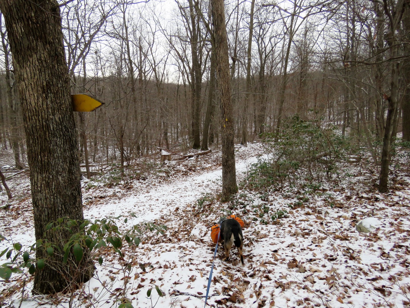
| A short distance ahead, right on white (this is looking back the way we came). |
 |
| This is not noted on the map but we went to check it out. |
 |
| A short unmarked trail leads to ... |
 |
| ... a boardwalk to ... |
 |
| ... a bird viewing platform at the swamp but nobody was out and about so we headed back. |
 |
| Continuing on the white trail. |
 |
| Coming up on the Sphagnum Pond dam. |
 |
| Someone else had been on the dam before us according to the footprints. |
 |
| Another little critter had been there, too. |
 |
| We went out on the dam ... |
 |
| ... where I snapped this picture of frozen Sphagnum Pond. We suddenly heard the most awful breaking sound underneath us. It sounded like the dam was collapsing. Brodie and I made it off of that dam in record time. I am sure it was just ice cracking under the surface but OMG, scary! |
 |
| Back on solid ground, continuing on white. |
 |
| At the end of white, left on the teal Highlands Trail/yellow Stillman Trail. |
 |
| Watch for a white trail to the left just opposite where yellow turns right and is joined by the blue trail coming in with the Highlands Trail straight ahead. |
 |
| This leads a short distance to ... |
 |
| Split Rock Overlook with Sutherland Pond down below. |
 |
| Heading back I had forgotten that I should have turned left on the Highlands Trail/blue trail and accidentally followed blue/yellow downhill 1/10th of a mile before I figured out what I had done and headed back up to the Highlands Trail. The bonus was I saw one of those elusive coyotes whose tracks we had been following. He was skittering away while ducking behind logs to avoid being seen by us so all I got was a picture of logs and branches. |
 |
| Back on track on the Highlands Trail which is now joined by blue. |
 |
| I needed to follow the Highlands Trail to the Hall Road gate to connect up to where I had hiked before. Just in case the day comes where I can say I hiked to entire trail, don't want to me missing a short section. |
 |
| Retracing from the gate and staying on Hall Road following the tracks of yet another (or the same?) coyote. |
 |
| Left on the yellow triangle Short Cut Trail. |
 |
| At the end of yellow triangle, left on the yellow Stillman Trail. |
 |
| This trail goes uphill then downhill to the end of the Stillman Trail at ... |
 |
| ... an overlook. |
 |
| A prefect spot for a break with snacks for Brodie ... |
 |
| ... and hot tea for me. |
 |
| Retracing on the Stillman Trail. |
 |
| Where we had come in from the right on the yellow triangle Short Cut Trail, now staying on the yellow Stillman Trail. |
 |
| At the next intersection, keeping right on yellow Stillman ... |
 |
| ... when yellow circle goes to Mine Hill Road parking. |
 |
| Yellow Stillman turns right on Hall Road. |
 |
| Just after yellow leaves Hall Road to the left, we turned left on the blue Compartment Trail when yellow turned right. |
 |
| I am thinking some sort of weasel or a mink. |
 |
| At the end of blue ... |
 |
| ... a brief right on yellow then left on Hall Road. |
 |
| This part of Hall Road doesn't appear to be traveled by humans hardly at all. |
 |
| Downy woodpecker on the right. |
 |
| At the intersection we turned right on Continental Road, and followed that to the gate shortly after yellow joins in from the right.. |
 |
| From the gate, a left on the Highlands Trail then left on Hulse Road when the Highlands Trail leaves to the right. |
 |
| Now it's all the way to the bottom, sometimes steeply, on Hulse Road. |
 |
| That is a glimpse of the Hudson River ahead on the horizon. |
 |
| Coming out at the kiosk on the white trail ... |
 |
| ... where we turned left on white ... |
 |
| ... back to the parking lot which was a lot busier than when we started at 7:30 AM. |


