ABOUT THE PARK:
DIRECTIONS:
GPS Coordinates 40.81269, -74.48099
 |
| Speedwell Lake Parking |
TRAIL MAP:
HIKE DISTANCE: 8.7 miles
THE HIKE:
Because I had an appointment in Morristown and it's half day summer Fridays at work, I wanted to hike a part of the Patriot's Path I had not previously hiked and incorporate Fosterfields Farm where dogs are not allowed since Brodie was not with me. At least that was the plan.
 |
| Speedwell Lake from the parking lot. |
 |
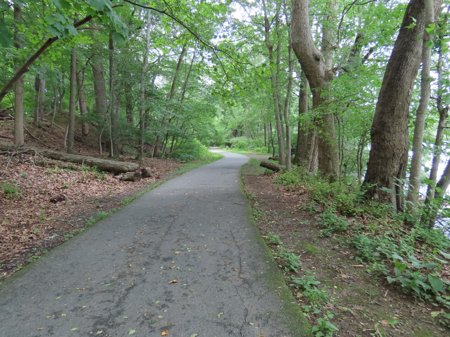
| The first 2 miles are paved. |
 |
| Lake Road over ... |
 |
| Whippany River |
 |
| Passing by the recycling center ... |
 |
| ... where they have a large section of trash repurposed as outdoor area with bird feeders. |
 |
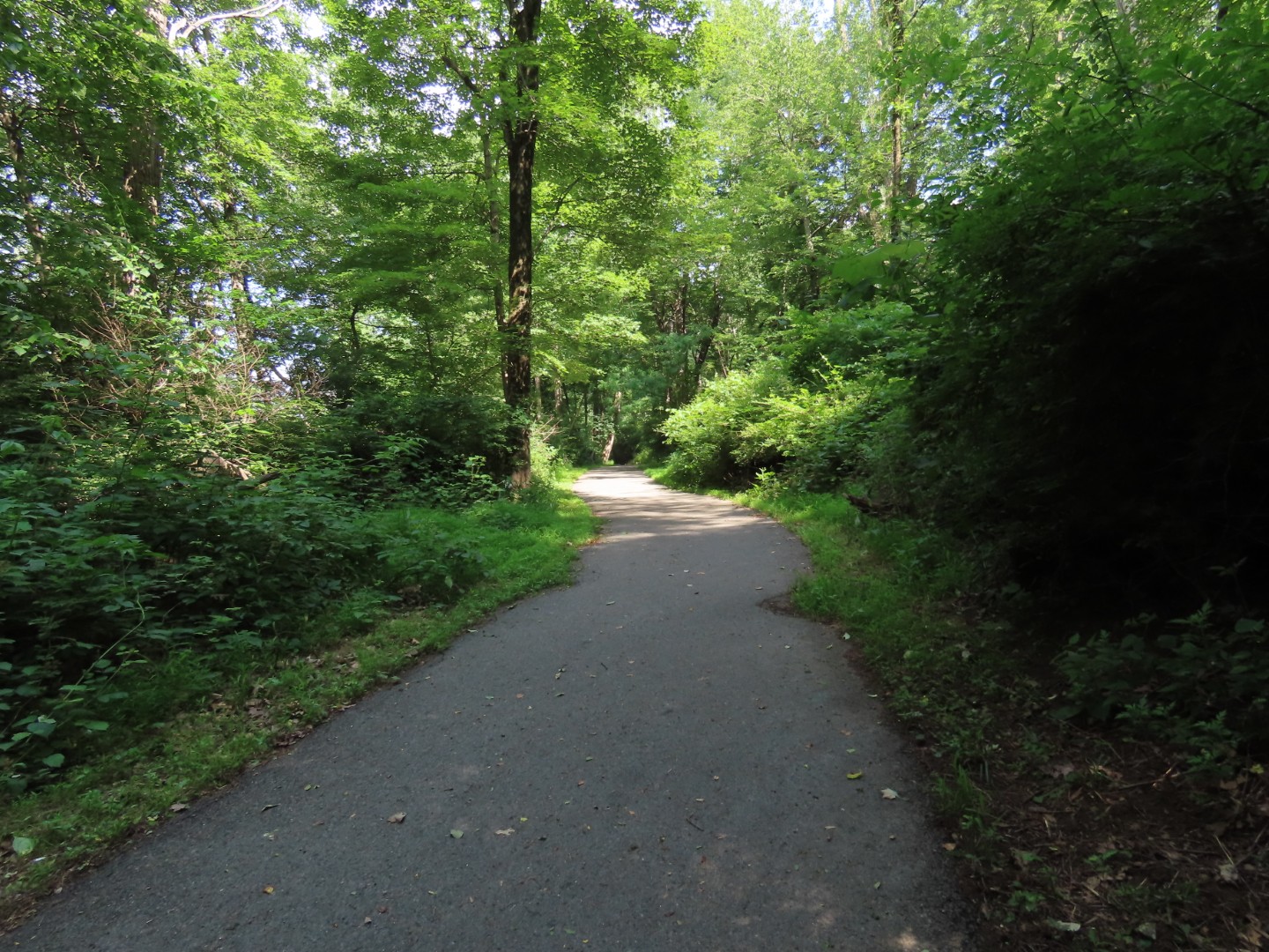
| The trail follows along the Whippany River. |
 |
| At almost 2 miles, coming up on Route 617, the busiest road crossing. |
 |
| I don't think that button was working but cars did stop to let me cross. If you want to stay on pavement, a short road walk to the left leads to another paved portion of trail. I would be returning that way later. |
 |
| Straight ahead after crossing the road, the pavement ends and the trail becomes gravel. |
 |
| At Washington Valley Road I would be heading to the left but needed to go a bit farther straight ahead to Lewis Morris County Park where I left off previously. |
 |
| At Whitehead Road Lewis Morris County Park begins. This was my turn around point. |
 |
| Continuation of the Patriots Path into Lewis Morris County Park if going that way. |
 |
| Heading back. |
 |
| Back at Washington Valley Road, turning right coming from this direction ... |
 |
| ... on a blue spur of the Patriots Path. Just the other side of the bridge up ahead ... |
 |
| ... left on a dirt footpath. |
 |
| At the paved path, a parking area is to the right, I turned left. |
 |
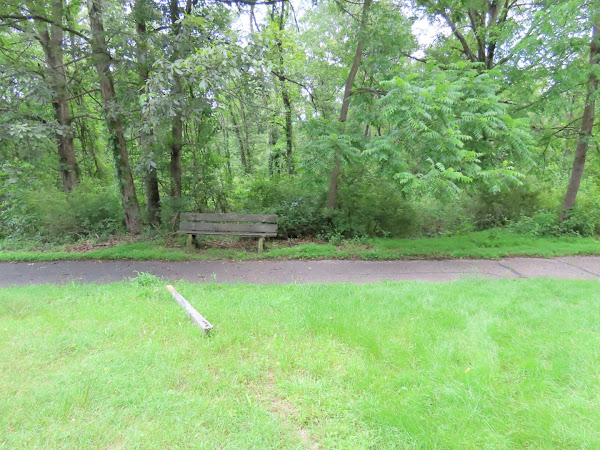
| At this bench, the red-blazed spur (there are no blazes here) goes to the right as a dirt footpath. |
 |
| I hated to disturb this rabbit sleeping smack in the middle of the trail. Zooming in I could see several bloated ticks on his neck. Poor bunny. |
 |
| This trail goes uphill pretty steeply. |
 |
| Finally some red blazes. |
 |
| The path follows along a road all the way to Fosterfields. |
 |
| A juvenile brown thrasher. Saw lots of recently fledged juveniles around. |
 |
| Coming up on the Fosterfields Visitor Center that looked awfully quiet. |
 |
| Seriously? I had checked the website the night before and there was nothing stating this. So disappointing. |
 |
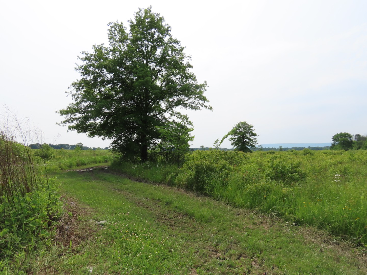
| I walked up the road heading back to see if I could catch a glimpse of anything in the farm. |
 |
| I zoomed and got one resident! |
 |
| Hopping off the road and back over to the Patriots Path. |
 |
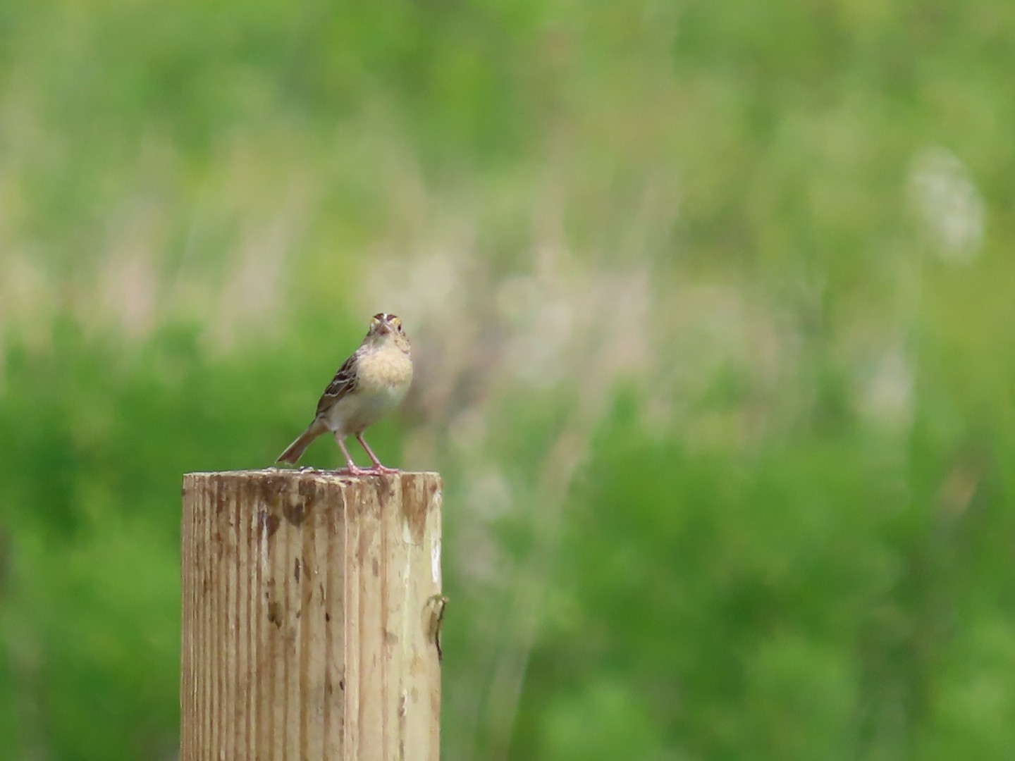
| Song Sparrow |
 |
| Back at that bench, right on the blue-blazed Patriots Path. It's paved all the way back from this point. |
 |
| Downy Woodpecker |
 |
| A left on Route 617 ... |
 |
| ... to the pedestrian crosswalk to cross over then retracing the rest of the way. |
 |
| Ugh |
 |
| I packed it out along with a big wad of fishing line. There is never an excuse for this but there are trash cans literally everywhere along here. |
 |
| Back at the parking lot. |