ABOUT THE PARK:
DIRECTIONS:
GPS Coordinates 42.17655, -74.03047
 |
| Harding Road Parking off Route 23A |
TRAIL MAP:
HIKE DISTANCE: 11.5 miles
THE HIKE:
 |
| It starts out with a bit of an icky road walk by turning right on Route 28A. |
 |
| There is not much room to walk but fortunately there was not much traffic at 7:15 AM. |
 |
| This is the route of the teal-blazed Long Path. |
 |
| Just after crossing over ... |
 |
| Kaaterskill Creek |
 |
| ... a left on Malden Avenue. |
 |
| A short distance in Malden Avenue is barricaded ... |
 |
| ... and continues as an old road along Kaaterskill Creek. |
 |
| Malden Avenue becomes open to traffic through a residential area. |
 |
| A right turn on the gravel road towards ... |
 |
| ... Big Medicine Ranch then a right just before that sign ... |
 |
| ... to access the trail. Not sure what the places are on the middle board - nothing on the map indicates those names. Maybe they are specific to that ranch. |
 |
| The trail forks to the left ... |
 |
| ... and the uphill climb begins. |
 |
| Passing an old bluestone quarry. |
 |
| Leaving private property and entering state park lands. |
 |
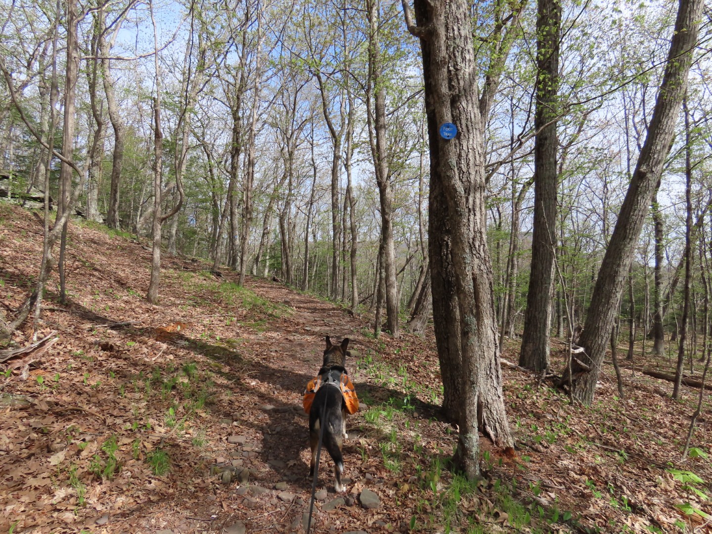
| Still a lot more uphill to go. |
 |
| There are occasional flat stretches for a very welcome break. |
 |
| The climb closest to the top is the steepest. |
 |
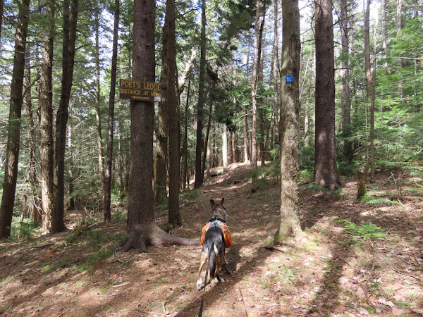
| Finally at the top! |
 |
| You only see the back of the Poet's Ledge sign in this direction. Right on the yellow trail to Poet's Ledge. |
 |
| After all of that climbing this trail goes downhill, steeply at times, so all you can think about is having to climb back up. Again. But it really was not that bad at all. |
 |
| In half a mile, coming out at ... |
 |
| ... views from Poet's Ledge. |
 |
| Retracing back to the Long Path. |
 |
| Right on the Long Path to continue to three waterfalls. |
 |
| It's pretty flat for the next two miles but it's not easy going. |
 |
| It's mostly rock and root hopping over mud and water with some smooth dry trail thrown in every so often. |
 |
| Lots of red trillium along the way. |
 |
| Hobblebush |
 |
| You can hear each waterfall when approaching. |
 |
| The first is Elizabeth Falls (on the Gaia app - not named on the Trail Conference map). |
 |
| You have to bushwhack a bit to get a better view but the bulk of each of these waterfalls plummet straight down where you can't see them. |
 |
| This first one is easy to cross. |
 |
| At Wildcat Falls the crossing itself is not bad as there are rocks to step on but.... Yes, I wiped out again on a slimy rock while crossing but did not whack my head and need 15 stitches this time, thank goodness. No blood at all, just a wet behind. But it was getting really warm so that felt kind of good. |
 |
| Views from Wildcat Falls. It was a very hazy day so hard to see the Hudson Valley but the picture on the way back was a bit better. |
 |
| The part of Wildcat Falls that you can see. |
 |
| This is how the falls plummet over the edge. |
 |
| On to Buttermilk Falls. |
 |
| Carolina Springbeauty |
 |
| Coming up on Buttermilk Falls where we did not cross since that was our turn around point. The crossing did look a bit tricky, though, since it appeared to involve navigating downed trees along the way over. |
 |
| Buttermilk Falls plummeting over the edge. |
 |
| The top of Buttermilk Falls made for a nice break spot. |
 |
| Views from the break spot. |
 |
| Retracing back. |
 |
| A little bit clearer shot of the view from Wildcat Falls. |
 |
| This would bet that slimy, slippery rock which I totally avoided on the way back. |
 |
| Shortly after the Poet's Ledge sign, the steep descent begins. |
 |
| A historical marker along Route 28A. |
 |
| There was a bit more room to walk heading in this direction but there was also a lot more traffic. |
 |
| Back to the now full parking lot. Everyone else must have headed north because I saw nobody all day long. |
 |
| Looking back over to where we had hiked. |
One of the reasons this hike took so long was because I kept stopping to look for birds I heard. The migrants are back but they were elusive. Although I never saw any, this is what the Merlin Bird ID Sound App picked up:
Black-throated Blue Warbler