

Norvin Green State Forest - New Jersey State Park Service
DIRECTIONS:
GPS Coordinates 41.04581, -74.35043
 |
| Otter Hole Parking Lot |
TRAIL MAP:
Northern New Jersey Highlands Trail Map 151 - New York New Jersey Trail Conference
HIKE DISTANCE: 7.4 miles
THE HIKE:
 |
| The trail starts just to the east of the parking lot. |


 |
| Otter Hole |
 |
| Heading to Chikahoki Falls via the Highlands Trail... |

 |
| ... with a little detour on an unmarked trail I wanted to check out. |


 |
| I was trying to get to yellow but was having a hard time finding it. |
 |
| No wonder! It was not obvious at all. |


 |
| Back on the blue trail/Highlands Trail. |


 |
| White trail to the falls. |

 |
| I was surprised the falls were running at all with as dry as it has been. |


 |
| On the yellow Carris Hill Trail. |


 |
| On the blue trail/Highlands Trail again. |


 |
| Wyanoki High Point |


 |
| From Wyanokie High Point taking blue to the right. |


 |
| We passed by white a short distance to the overlook then retraced. |
 |
| The white Macopin Trail which appears to be very lightly used based on the spider webs. |


 |
| At the end of white, a few steps right on green then left on unmarked. |


 |
| There are some faint white blazes on the unmarked trail. |
 |
| I had intended to go left on red dot on white but ended up continuing on unmarked which led to... |
 |
| ... the yellow Wyanokie Crest Trail. That was fine, just a little different than planned. |


 |
| The Highlands Trail joins in. |

 |
| At the overlook the trail descends VERY steeply over this rock surface. It's a sit-down-and-scootch-on-your-rear-end kind of downhill. |
 |
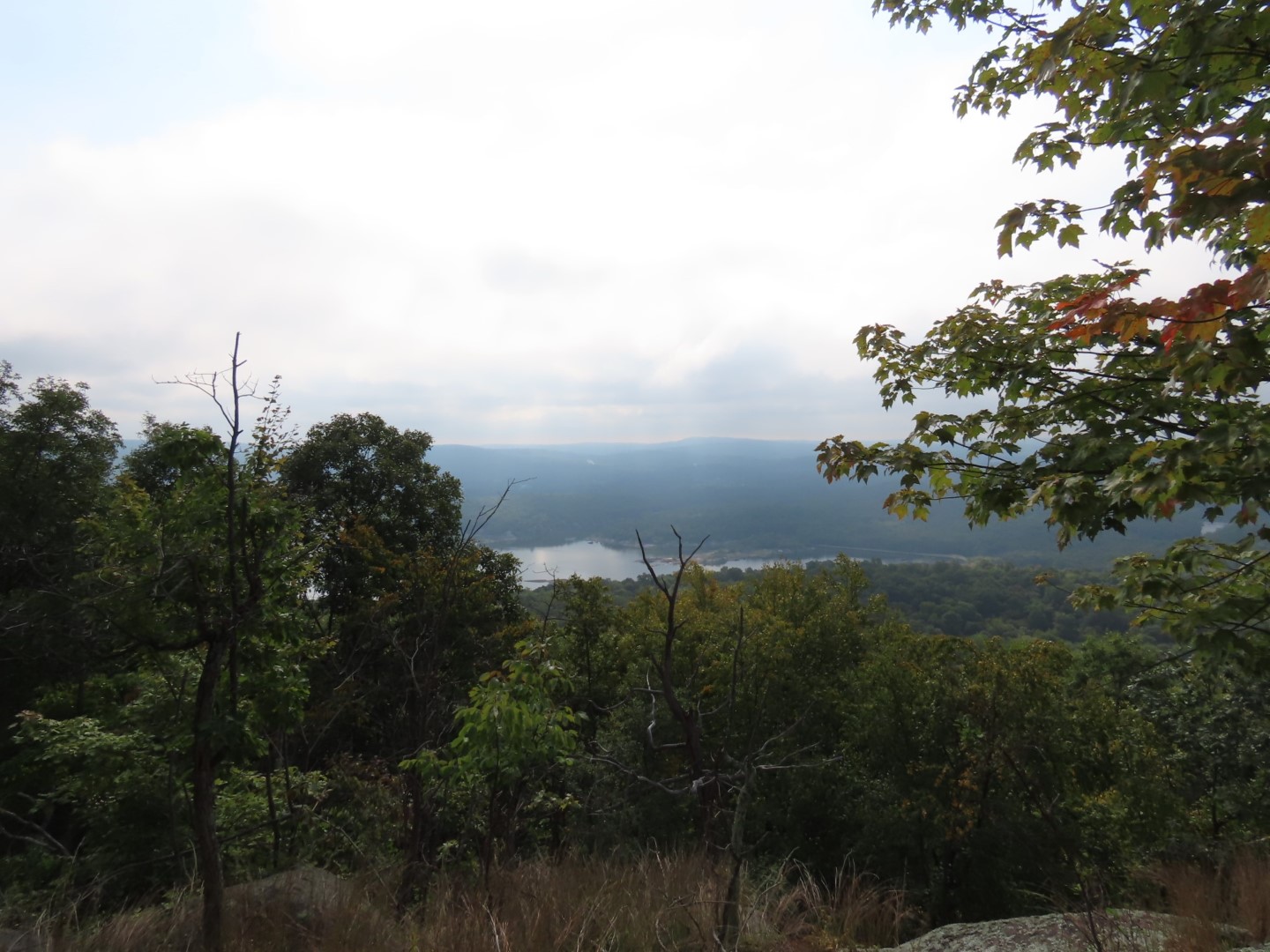
| New York City was almost visible on a hazy day. |
 |
| Right on the green Otter Hole Trail. |

 |
| Falls at Otter Hole. |

 |
| Arriving back at the parking lot, I was quite horrified when I turned to the right and saw my car. |
 |
| It takes a special kind of stupid to do something like that. That is asking to get your car keyed. He is lucky that is not something I am capable of doing. I am however capable of calling the police and having the car towed but it didn't come to that, although it would have served him right. There was a women sitting in the blue car next to mine. She pulled out of her spot and I was able to wiggle out. A very angry note was left on the windshield of that car. |