Stokes State Forest - NJ Department of Environmental Protection
DIRECTIONS:
GPS Coordinates 41.20627, -74.77492
 |
| Kittle Road Day Use Area Parking |
TRAIL MAP:
Delaware Water Gap & Kittatinny Trails Map 122 - New York New Jersey Trail Conference
Stokes State Forest Trail Map North - New York New Jersey Trail Conference free map
Stokes State Forest Trail Map North - New York New Jersey Trail Conference free map
THE HIKE:
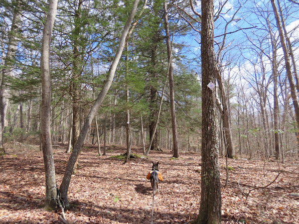
The seasonally closed roads will be opening back up in less than a month so I wanted to get another hike in using Sunrise Mountain Road where I could have total peace and tranquility, which is exactly how it played out. Ran into one other hiker a mile into the hike then saw nobody at all until the last half mile when it was pretty busy on a nice pre-spring day.
 |
| Crossing Kittle Road from the parking lot over to the bridge. |
 |
| Just before the building up ahead ... |
 |
| ... right on the brown Stony Brook Trail. |
 |
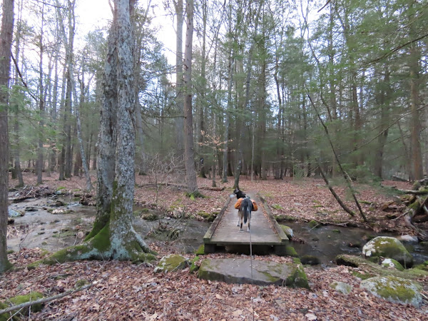
| There will be lots of creek crossing but very few bridges. |
 |
| The Blue Mountain Trail joins in just before ... |
 |
| ... crossing through the Stony Lake Day Use Area lot. |
 |
| Green joins in but as blue and green leave, we would be staying with brown. |
 |
| We had a hiking buddy for quite a long stretch of trail. It was fine until Brodie noticed him. He pays no attention to squirrels but oh boy does he want a porcupine big time. |
 |
| The porcupine eventually left the trail so we could pass. I can clearly see him giving Brodie the "Go ahead, make my day" look. |
 |
| Coming up on ... |
 |
| ... closed Sunrise Mountain Road where we turned left for a 3.5 mile road walk. |
 |
| It was very peaceful and quite scenic. |
 |
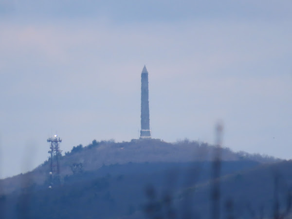
| High Point Monument visible in the distance. |
 |
| The Tinsley Trail crosses over and to the right it would be a very short distance up to the Appalachian Trail. |
 |
| A picnic area on the left were we stopped for a break. |
 |
| View from the picnic area. |
 |
| Continuing on passing the drive on the right to the Sunrise Mountain overlook. |
 |
| Leaving Sunrise Mountain Road to take the red Swenson Trail. |
 |
| Continuing straight on the Blue Mountain Trail when the red Swenson Trail ends. |
 |
| At the Spring Cabin the Blue Mountain Trail turns left but we went around the left side of the cabin ... |
 |
| ... to the cabin access road which is a dashed line through a swamp on the map but it's actually a dry gravel road all the way through. |
 |
| The yellow Tinsley Trail comes in from the left and continues on the gravel road. |
 |
| Coming up on trail markers of the NJ State School of Conservation I decided to give those trails a try. |
 |
| This was the Purple Finch Trail but it wasn't much of a trail at all. It's more bushwhacking from marker to marker. |
 |
| Then it just ends. But we were right at Skellenenger Road so we went there and turned right. |
 |
| I knew the Blue Mountain Trail would be a very short distance to the left so at the NJ State School of Conservation sign we turned left ... |
 |
| ... and literally bushwhacked a handful of steps to a left on ... |
 |
| ... the Blue Mountain Trail along Big Flat Brook. |
 |
| At the campground road, the trail veers left across the road ... |
 |
| ... back into the woods. |
 |
| When the Blue Mountain Trail turns right across the bridge, we continued straight on the brown Stony Brook Trail. |
 |
| Coming back up on the building where we started the hike. |
 |
| Now back to a much busier parking lot. |


