Stokes State Forest - NJ Department of Environmental Protection
DIRECTIONS:
GPS Coordinates 41.183957, -74.811662
 |
| Lake Ashroe Parking Lot |
TRAIL MAP:
Delaware Water Gap & Kittatinny Trails Map 122 - New York New Jersey Trail Conference
Stokes State Forest Trail Map South - New York New Jersey Trail Conference free map
Delaware Water Gap & Kittatinny Trails Map 122 - New York New Jersey Trail Conference
Stokes State Forest Trail Map South - New York New Jersey Trail Conference free map
THE HIKE:
I hiked the Red Maple Trail from Lake Ashroe as an out-and-back when it was new in May 2018. In the winter with Struble Road closed at the 4H Camp from December 15 - April 15 I wanted to hike this as a loop using the closed road.
 |
| Starting at the gate from the parking lot. |
 |
| Just beyond the gate is the start of the Red Maple Trail. |
 |
| Winter view of Lake Ashroe. |
 |
| The trail ascends then turns on a woods road and will stay with woods roads for a bit. |
 |
| I wanted to check out Brink Road on the right since it was completely flooded out from the swamp when I was there the last time. |
 |
| Bone dry now even with a very wet January. |
 |
| The swamp was dry also. |
 |
| Back on the Red Maple Trail. |
 |
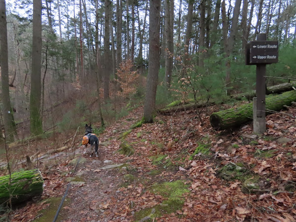
| Leaving the woods road to the right on a footpath. |
 |
| A few rock hop creek crossings along the way. |
 |
| This trail maintainer really put some effort into rounding off the edges! |
 |
| The Red Maple Trail ends at Tillman Ravine. |
 |
| Taking the lower trail through the ravine. |
 |
| The Teacup |
 |
| Somebody woke up from his winter nap. Ugh. |
 |
| This sign has seen better days. |
 |
| Continuing straight out of the ravine on the Cemetery Trail. |
 |
| ... three of these revving around Mountain Road. Ugh. |
 |
| Passing by the cemetery then ... |
 |
| ... right on the seasonally closed Dimon Road which becomes Struble Road. |
 |
| Passing by the deserted lower parking lot which would otherwise be packed. |
 |
| Passing by the deserted upper parking lot. |
 |
| Just after the upper lot, a picnic area at the top of the hill on the left. |
 |
| Perfect spot for a break after a long uphill walk. |
 |
| Continuing on the road walk. |
 |
| A bit into this sharp bend ... |
 |
| ... we turned right on the Stoll Trail to cut off a bit of the road walk. The other gate for the road closure is just around the bend in the road. |
 |
| Stoll Trail |
 |
| It's not far to the gate at the road. |
 |
| This part of the road is not closed but there still was no traffic other than a car or two coming and going from the residential area. |
 |
| Coming up on Lake Ashroe. |
 |
| Lake Ashroe from Struble Road. |
 |
| Back at Lake Ashroe Parking. The portable sign on the left announces the road closure. |


