Clayton Park - Monmouth County Parks
DIRECTIONS:
GPS Coordinates 40.15592, -74.50462
TRAIL MAP:
Clayton Park Brochure - Monmouth County Parks
HIKE DISTANCE: 7 miles*
*with accidentally doing the .35 miles Glen Trail loop twice
THE HIKE:
This was the working-my-way-back hike after the last round of chemo. It's an easy hike with rolling hills and smooth trails other than a few roots here and there. Lots of mountain bikers and dog walkers. The many dogs that we encountered all had their humans leashed. How nice for a change.
 |
| Heading across the grass from the middle of the parking lot to the start of the trails. |
 |
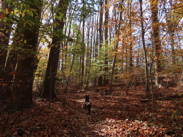
| We mostly kept right at intersections but it looks like a new trail is going in that is not on the map so not knowing where that went, I avoided it. |
 |
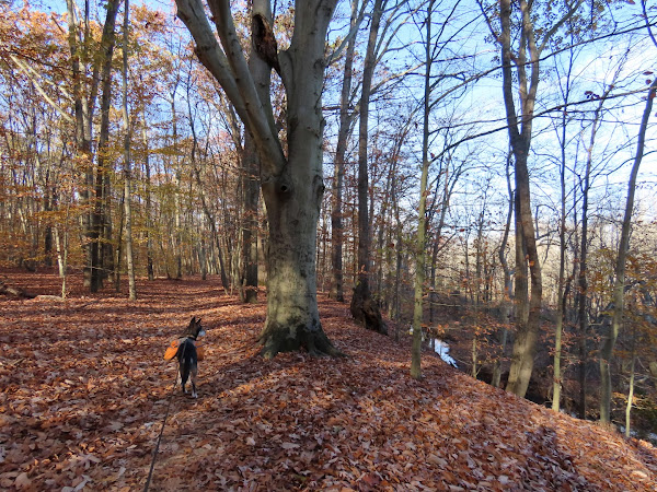
| Doctor's Creek below on the right - you really don't see very much of it on this hike. |
 |
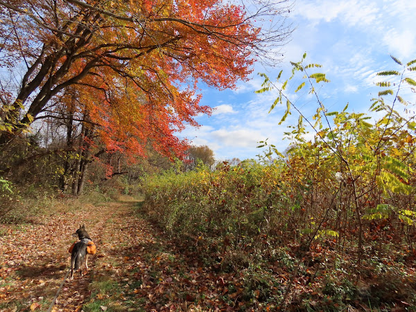
| Coming out on the fields where we would hike in a bit but first ... |
 |
| ... a hard left ... |
 |
| ... along the pond. |
 |
| Then on to the Glen Trail for a loop before heading back. |
 |
| I ended up going around the loop twice because I missed the turn which is just after this fence. |
 |
| Back along the pond... |
 |
| ... then the Clayton Fields Trail counterclockwise (the trail markers will all be in the other direction). |
 |
| Imlaystown Lake |
 |
| There is another parking lot on Davis Station Road. It was empty where the main lot was pretty full after we finished hiking. |
 |
| As I mentioned before, the markers are all facing the other way if you go counterclockwise. |
 |
| A hard right turn ... |
 |
| ... to head back to the parking lot. |


