The Stonetown Circular Trail starts in Norvin Green State Forest then goes through the North Jersey District Water Supply Commission land, Long Pond Ironworks State Park and Passaic River Coalition's Tory Rocks Preserve. It goes up and down five mountains and is considered the most strenuous hike in New Jersey.
DIRECTIONS:
GPS Coordinates 41.07992, -74.30744
 |
| Parking at Stonetown Recreation Complex. |
TRAIL MAP:
Northern New Jersey Highlands Wyanokies Trail Map 151 - NY NJ Trail Conference
HIKE DISTANCE: 10.8 miles
THE HIKE:
The last time I did this hike was almost 12 years ago. It is referred to as a "butt-kicker" in the book "Take a Hike New York City." The distance is no big deal but the elevation changes and rock scrambles can be grueling, especially towards the end when you have really had enough yet around every bend there is more.
 |
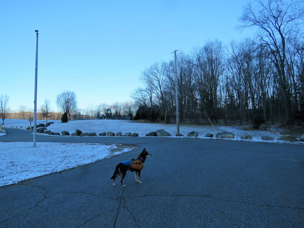
| Walking out of the Stonetown Recreation Complex. |
 |
| Right on Stonetown Road a short distance then left just before the guardrail up ahead. |
 | |
|
 |
| First up Little Windbeam. |
 |
| The views are incredible any time but especially in the winter when the leaves are down. |
 |
 |
 |
| Wanaque Reservoir |
 |
| The summit of Windbeam Mountain. |
 |
| On to Bear Mountain. |
 |
| Off of Bear Mountain and on to Board Mountain. |
 |
| The northern end of Wanaque Reservoir, the Monksville Dam then Monksville Reservoir from Board Mountain. |
 |
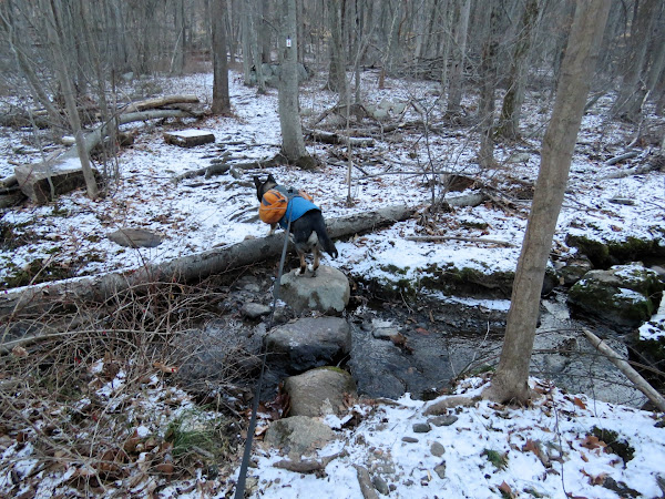
| The trail descends steeply from Board Mountain then crosses a swampy area. |
 |
| Coming up on Monksville Reservoir. |
 |
| Hop the guardrail, left on Stonetown Road the cross over to the chain link gate on the right. |
 |
| The trail now follows a blissfully flat woods road although it was a solid sheet of ice for a good part of the way. |
 |
| Monksville Reservoir |
 |
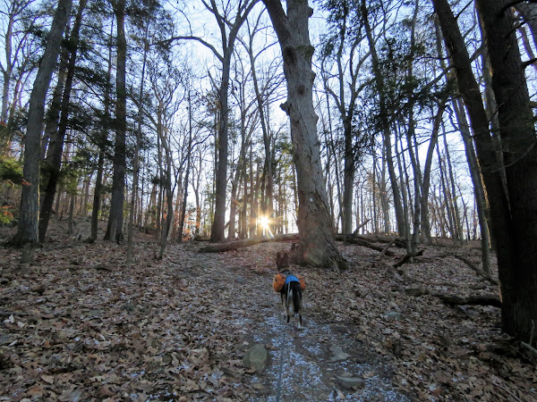
| Up Harrison Mountain. |
 |
| At the top of Harrison Mountain the Highlands Trail leaves to the right and a spur trail starts to the left. |
 |
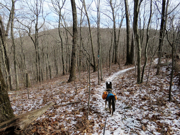
| The Stonetown Circular Trail continues straight ahead even though the red triangle is occasionally missing from the markers. |
 |
| The second car wreck we passed in the middle of the woods. |
 |
| Joining in with orange briefly to cross Burnt Meadow Brook on a dirt road bridge. |
 |
| Going up to Tory Rocks. |
 |
| Descending Tory Rocks - 2010 and 2022 in the same spot. |
 |
| At this point we had really had enough. Certainly the trail would not go up those rocks, would it? Oh yes it did. |
 |
| Nearing the end when the flag on Windbeam Mountain comes into sight. |
 |
| Yay, the road! |
 |
| A left on Magee Road then on to Stonetown Road for a nice, smooth road walk. |
 |
| Right into Stonetown Recreation Complex ... |
 |
| ... back to the parking lot. |


