Delaware Canal State Park - Pennsylvania DCNR
Loop Trails for Hikers and Bikers - Friends of the Delaware Canal
November 16, 2021 News Release: Commission Opens New Delaware River Crossing - Delaware River Joint Toll Bridge Commission
DIRECTIONS:
GPS Coordinates 40.26483, -74.84787
 |
| Scudder Falls Parking Lot on the New Jersey Side |
TRAIL MAP:
 |
| This hike is the second from the bottom. |
HIKE DISTANCE: 10.3 miles
THE HIKE:
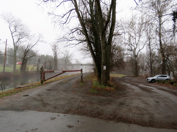 |
| From the Scudders Falls parking lot, a right on the towpath ... |
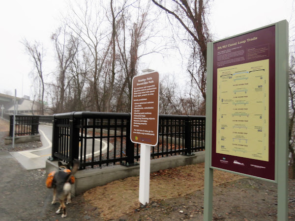 |
| ... then a right onto the newly opened ramp to the I-295 shared use path. |
 |
| A few bump outs along the way for views ... |
 |
| .. of the Delaware River on this dreary, foggy day. |
 |
| On the PA side the path veers left then right over the crosswalk onto the ... |
 |
| ... towpath. |
 |
| The path goes under several small bridges with no more road crossings. |
 |
| The highlight of this hike was the beaver in the canal who "hiked" with us for quite a stretch. |
 |
| Belted Kingfisher |
 |
| To complete the 7-mile loop shown in the graphic, this would be the right turn to access the bridge but we continued straight to explore the Washington Crossing Historic Park first. |
 |
| This great blue heron ... |
 |
| ... was overseeing the takeoffs and landings of many, many groups of Canada geese. |
 |
| At the next bridge after the pond on the right ... |
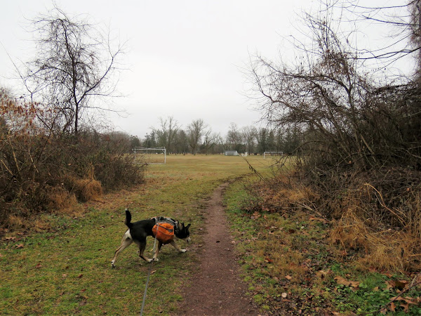 |
| ... we turned right along the soccer fields along the opposite side of the pond. |
 |
| We meandered around the other side of the park and would return to the pond side later. |
 |
| These must be the boats used in the Washington crossing reenactment. |
 |
| The bridge we would be crossing later. |
 |
| Back over at the pond, all of the many, many geese were gone. |
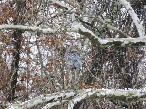 |
| But that great blue heron was still there. |
 |
| On the road heading towards the bridge back into New Jersey. |
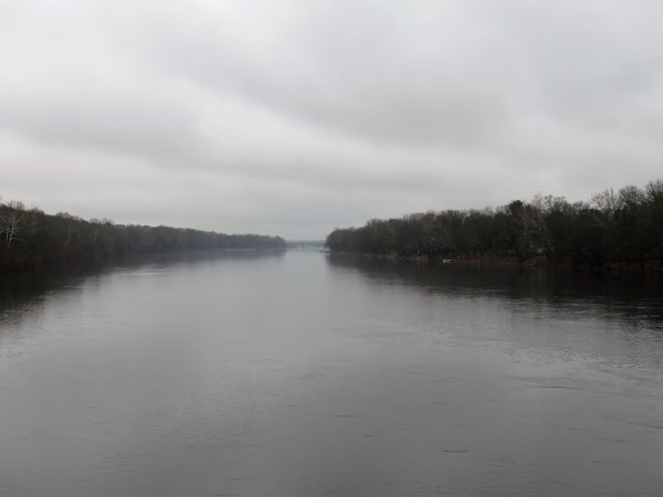 |
| I-295 where we had crossed at the beginning of the hike in the fog in the distance. |
 |
| The ramp on the right ... |
 |
| ... leads straight to the towpath between the canal and the Delaware River. |
 |
| Back at the parking lot, we first made a hard right onto a road that was closed to traffic. |
 |
| This backtracked parallel to the towpath but along the Delaware River. |
 |
| It ends at a gas cut. A gravel path leads steeply back up to the towpath but we retraced as the towpath was now getting busier. |


