Lewis Morris County Park - Morris County Park Commission
There has been trail reblazing going on this year and it doesn't seem to be quite complete yet.
DIRECTIONS:
GPS Coordinates 40.788685, -74.543644
 |
| Boathouse parking lot at Sunrise Lake. |
TRAIL MAP:
Lewis Morris County Park Trail Map as of 4/16/21 - Morris County Park Commission
Lewis Morris County Park Trail Map Reblazing - Morris County Park Commission
The second map is easier to read as the trails are colored but the first map shows the green trail reroute which the second map does not show.
HIKE DISTANCE: 8.3 miles
THE HIKE:
We started at 6:30 AM and and after about 8 AM encountered several mountain bikers along the way but no other hikers at all.
 |
| Continuing through the parking lot towards the lake ... |
 |
| ... then across the dam. |
 |
| Sunrise Lake |
 |
| Left on the Patriot's Path briefly then right on yellow. |
 |
| Right on red. |
 |
| Red comes out at a parking lot where we continued straight ... |
 |
| ... to blue on the right. Red continues as the gravel road to the left ending up at the same place as blue but we will take a dirt path any day over gravel so blue it is. |
 |
| Blue must have been yellow previously as there was still a yellow blaze. |
 |
| The blue trail skirts the boundary of Morristown National Historical Area. |
 |
| Blue ends at yellow. Left would have taken us back to where we had been so we turned right but there were no blazes for quite a while. |
 |
| Finally a yellow blaze. |
 |
| Northern Flicker |
 |
| Right on orange for a short distance. |
 |
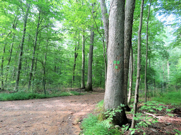
| Right on green. |
 |
| Green ends at a gravel road which is red but there were no blazes at first. Odd that green ends when it is supposed to be a loop so am guessing that is still a work in progress. |
 |
| There was a red blaze a bit after we turned left. |
 |
| Right on black dot on green. |
 |
| This comes out on the Patriot's Path where we turned right a short distance ... |
 |
| ... then right to continue on green but there were no blazes in that area. |
 |
| Green crosses over the park road but we turned right in search of ... |
 |
| ... Mendham Overlook which we could not find. Must just be the name of that picnic area because there is no overlook. |
 |
| No overlook up here either. |
 |
| Heading back to continue on green. |
 |
| Green crosses the park road again. |
 |
| Here is where the trail to the left is being closed (still open) and the new section of green goes to the right. We veered right. |
 |
| When green comes out on a gravel road there are no more green blazes to indicate where the green loop continues so that must not be completed yet. |
 |
| Heading towards Sunrise Lake. |
 |
| Instead of cutting through the parking lot to finish, we turned left and looped around the lake the other way. |
 |
| Back on the Patriot's Path for a little bit ... |
 |
| ... then right over the dam ... |
 |
| ... back to the parking lot. |
 |
| It was a shorter hike that usual because we had to be finished on time to go pick up Brodie's friend, Al, who will be staying with us for the week. |


