

ABOUT THE PARK:
Pequannock Watershed - City of Newark
Highlands Trail Guide - NYNJ Trail Conference
Bearfort Fire Tower - National Historic Lookout Register
PERMIT REQUIRED FOR HIKING IN THE PEQUANNOCK WATERSHED.
See THIS hike for permit details.
DIRECTIONS:
GPS Coordinates 41.106785, -74.434136
 |
| P4 Pullout Parking - room for about 4-5 cars. |
TRAIL MAP:
North Jersey Trails Map 116 - NYNJ Trail Conference
Powered by Wikiloc
PEAK BAGGING:
Bearfort Lookout - New Jersey 1K Club
HIKE DISTANCE: 8.75 miles
THE HIKE:
 |
| The Highlands Trail comes in from across Clinton Road joining in with the white-blazed Two Brooks Trail |


 |
| Broad-winged Hawk |
 |
| A rare find in the watershed ... |
 |
| ... a brand new footbridge. |

 |
| The end of the mountain laurel. See you next June. |


 |
| Second creek crossing on rock slabs. |


 |
| Right on yellow a little over a mile in. We would be returning from the left. |


 |
| Left on blue; yellow continues right to a parking lot. |

 |
| Ovenbird |

 |
| When blue ends, left on red/white. |
 |
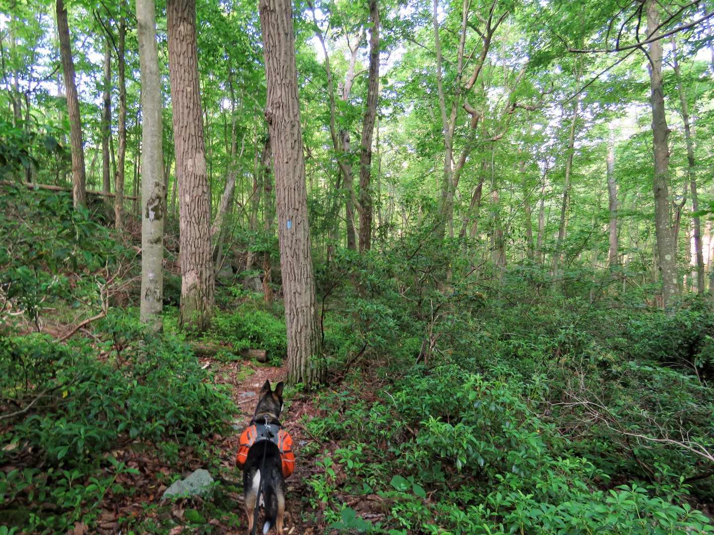
| The red/white Tower Ridge Trail starts out as a woods road and later becomes a footpath. |

 |
| Hanks Pond barely visible through the trees. Views should be really nice when the leaves are down. |

 |
| A little bit of a view between the trees. |
 |
| There is Hanks Pond down below. |


 |
| Down in this depression blue joins in from the right ... |

 |
| ... then leaves to the left. It would shortcut back over to the Two Brooks Trail but we continued on to the fire tower. |


 |
| Coming up on the Bearfort Fire Tower. |
 |
| Although I could not see up that high I knew the fire tower was manned because I could hear the radio. |

 |
| Crossing directly in front of the fire tower, we picked up the Highlands Trail turning right. |
 |
| The Highlands Trail goes through a power cut where there are some views. |


 |
| A couple of sections descend very steeply. Because of rain the night before some of the steep rock slabs were as slippery as a sheet of ice so I had to sit and slide down. |
 |
| When the Highlands Trail crosses over a woods road, left on the woods road. |
 |
| A short distance in the blue/white marker of the Hanks West Trail. |
 |
| This remains a woods road... |
 |
| ... all the way to the end ... |
 |
| ... where we turned left on Stephens Road. Stephens Road goes uphill where almost at the top ... |
 |
| ... we turned left at the yellow gate. There are no blazes at first but this is what is shown as the yellow blazed trail on the map. |
 |
| The open gate confirmed that the fire tower was manned. |
 |
| A yellow blaze but there were also orange and purple blazes. |

 |
| The end of the woods road runs smack into the Highlands Trail where the fire tower is on the left. |
 |
| We turned right on the combined yellow/Highlands Trail. |


 |
| It was in this section that we encountered two hikers with a dog, the only ones seen during the entire hike. |

 |
| When yellow continues straight, right on the white Two Brooks Trail/Highlands Trail to retrace that section. |

 |
| There was no such sign when we came from the opposite direction. At least the water was low. |
 |
| This would be that difficult stream crossing. With low water the only difficulty was slimy rock slabs, wet from rain the night before. |


 |
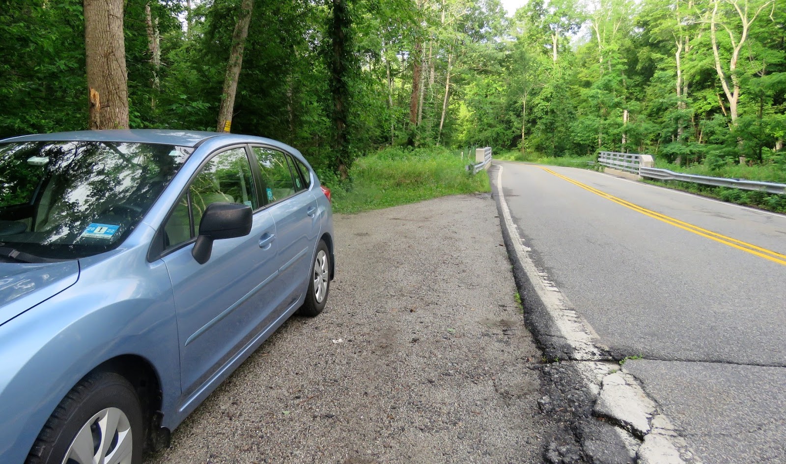
| Coming back up on Clinton Road. |
 |
| I was surprised to see two other cars at the end of the hike. That's a lot for a watershed hike. All cars had watershed permits displayed so everyone was hiking there legally. |