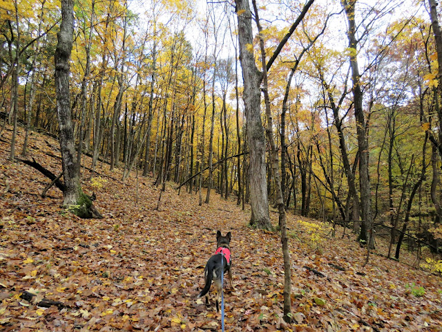
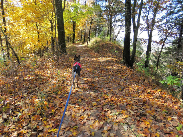
ABOUT THE PARK:
Salt Lick Point Land and Water Reserve
DIRECTIONS:
38.302552, -90.308785
 |
| Salt Lick Trail Parking |
TRAIL MAP:
 |
| Trail map at the kiosk. |
Pink - Salt Lick Trail 1.8 miles
Green - Newman Trail 1.9 miles
White - private property
Powered by Wikiloc
HIKE DISTANCE: 5.5 miles
THE HIKE:
 |
| Because the views on the Salt Lick Trail would have been obscured by fog when I arrived, I headed left to the Johnson Trail first and would do the Salt Like Trail last, returning at this point. |
 |
| Parking for the Johnson Trail across the way. |
 |
| The trail is not blazed but there are mileage signs on trees. |
 |
| Some plants along the trail are named. From what I understand the flowers are gorgeous here in the spring. |
 |
| Giant boulders scattered around that look like they probably tumbled down from above long ago. |
 |
| Illinois farmland off to the left. |
 |
| The bluffs up above. That is where we would return later on the Salt Lick Trail. |
 |
| The trail comes out on to a field and looks like it continues along the perimeter to the right but ... |
 |
| ... backing up a bit, a post marks a footpath to the right that ends up at the same place in the field where continuing along the field would. |
 |
| Now on to the Newman Trail straight ahead. |
 |
| This trail is blazed green where the other trails are not blazed. |
 |
| The first of 13 creek crossings. Yes, I counted and it's 13 each way but they are all easy enough with plenty of rocks to step on. |
 |
| The Newman Trail ends ... |
 |
| ... at a kiosk ... |
 |
| ... with parking for this trail head to the left in the church parking lot. |
 |
| Heading back and crossing the creek 13 more times. |
 |
| Back at the field ... |
 |
| ... left towards Salt Lick Point, still on the Newman Trail. |
 |
| Right to the overlook. |
 |
| Zooming in to a truck on the Jefferson Barracks Bridge over the Mississippi River. |
 |
| Retracing and keeping straight along the top of the bluffs on the Salt Lick Trail. |
 |
| A juvenile red-headed woodpecker. |
 |
| Cedar Waxwing |
 |
| Dark-eyed Juno |
 |
| The trail head and parking down below. |
 |
| At the bottom, old mines. |


