

ABOUT THE PARK:
Stephens State Park - New Jersey Department of Environmental Protection
DIRECTIONS:
GPS Coordinates 40.873742, -74.805525
 |
| Parking at the park office. |
TRAIL MAPS:
Jersey Highlands Trail Map #126 - NY-NJ Trail Conference
Powered by Wikiloc
HIKE DISTANCE: 8 miles
THE HIKE:
 |
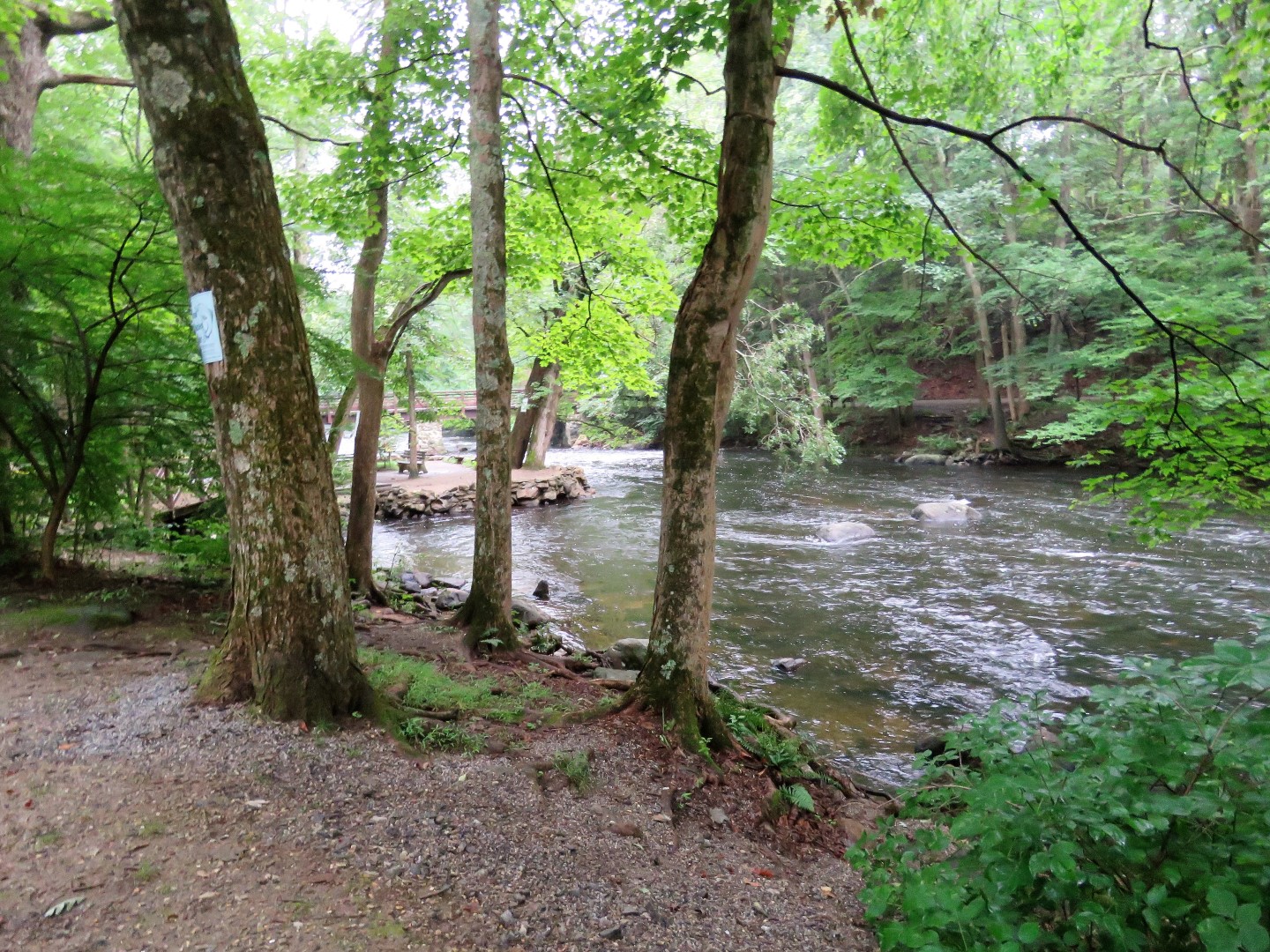
| Before starting, some views of the Musconetcong River at the parking lot. |
 |
| Starting on the wide gravel path from the parking lot ... |
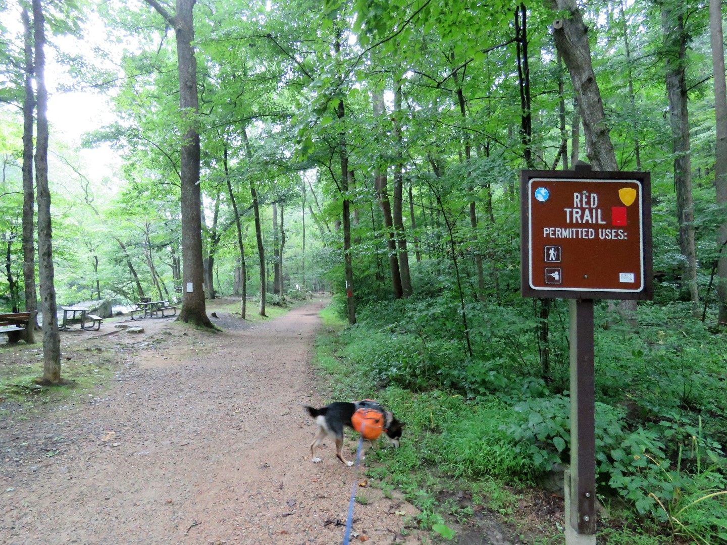 |
| ... which is the red trail. |
 |
| Red follows along with white. |
 |
| Just the other side of the picnic tables on the left ... |
 |
| ... more river views. |
 |
| The teal diamond Highlands Trail joins in also ... |
 |
| ... then leaves to the left. We would be returning that way. |
 |
| Left on the red/white trail. |
 |
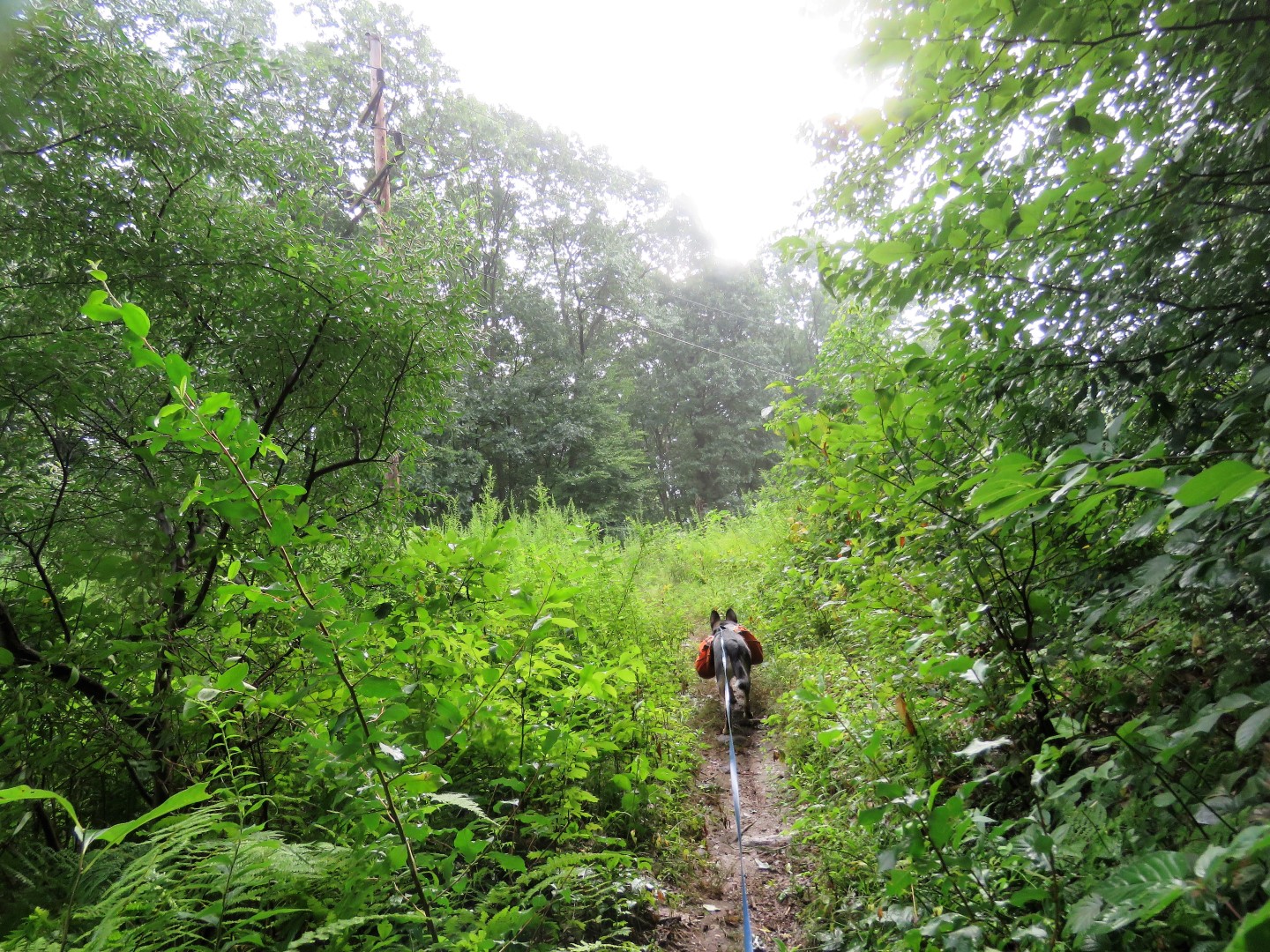
| After the picnic shelter ... |
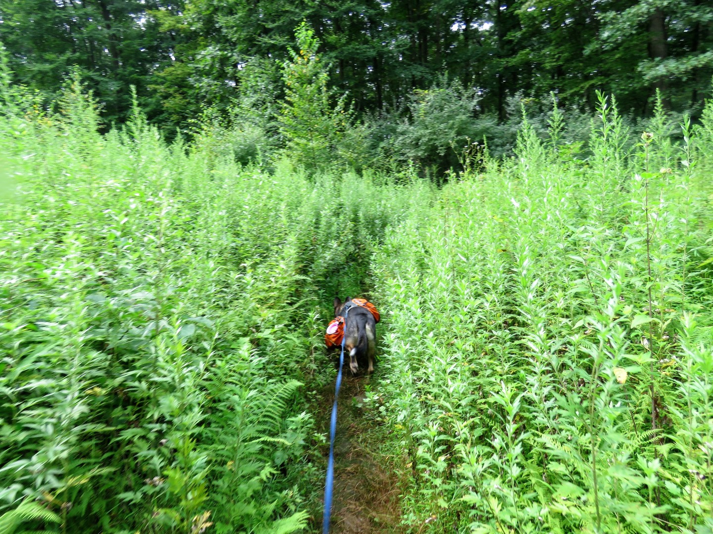
 |
| ... the trail becomes a footpath. |


 |
| Left on white. |


 |
| Turning left on pink. |

 |
| Coming out into ... |
 |
| ... a power cut. |
 |
| There was a ton of bird activity here. After sorting through about 30 pictures of leaves, I came up with ... |
 |
| ... a few shots of juvenile common yellowthroats. |


 |
| Back into the woods. |


 |
| Towards the end of the pink loop, some ponds/swamps on the right. |
 |
| And lots of fungi. |


 |
| Back through the power cut. |


 |
| At the end of pink, retracing right on white. |
 |
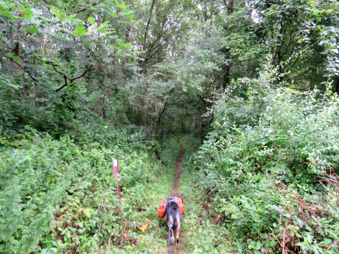
| Where white turns left (from where we had come the opposite way earlier) we stayed straight on unmarked ... |

 |
| ... which leads to Waterloo Valley Road where we turned left. |
 |
| I decided to road walk back since the mosquitoes were horrendous in the woods and I had run out of Deep Woods OFF from reapplying and was being eaten alive. The gnats were so bad on Waterloo Valley Road that Brodie's head was engulfed in a swarm of them and he kept snapping and pawing at them. So annoying, those gnats. |
 |
| We agree, Brodie, furniture does not belong here. |
 |
| Left just before the bridge (photo bombed by a gnat) ... |
 |
| ...left on the Highlands Trail/Patriot's Path/White Trail. |
 |
| Highlands Trail/White veer right along ... |
 |
| ... the Musconetcong River. |


 |
| Back to red ... |
 |
| ... all the way back to the parking lot. |