ABOUT THE PARK:
Mercer Meadows - Mercer County Park Commission
DIRECTIONS:
GPS Ccoordinates 40.312697, -74.736789
 |
| Parking at The Red Barn. |
TRAIL MAP:
Mercer Meadows Trail Map - Mercer County Park Commission
Powered by Wikiloc
HIKE DISTANCE: 10 miles
THE HIKE:
 |
| Starting from the parking lot on a gravel path |
 |
| The gravel paths have directional signs at every corner. The mowed paths have posts, the footpaths have very little in the way of signage. Trails are not marked. |
 |
| The gravel path runs into the Lawrence Hopewell Trail, which links the various parks together, at the Pole Farm Interpretive Site. |
 |
| Wet mourning doves in the fog. |
 |
| I tried to stay off of gravel paths as much as possible so we kept straight on a mowed path. |
 |
| This is a different rabbit than the one above. Fawns and rabbit all having breakfast together |
 |
| Brodie noticed them but nobody moved fast so he didn't get over the top excited like he sometimes does. |
 |
| Balloon #44 of the year. This is from the defunct Toys R Us birthday club. Maybe someday this balloon collection will be worth something! |
 |
| Coming up on a road crossing. |
 |
| At the Hunt House we turned left on the mowed path. |
 |
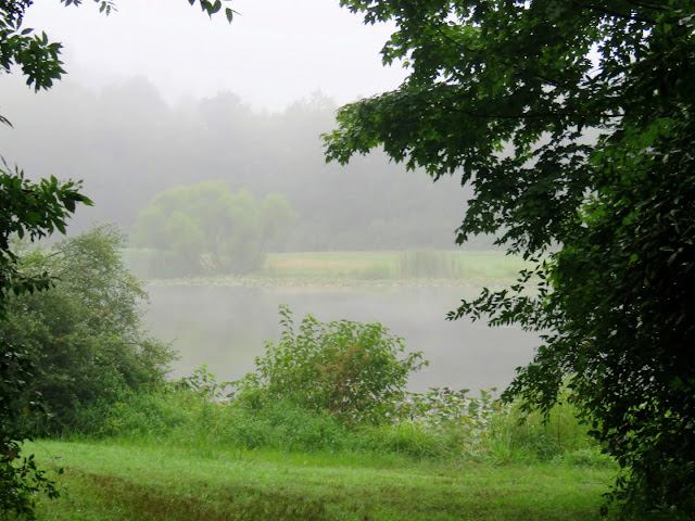
| Willow Pond |
 |
| On the Stony Brook Trail. |
 |
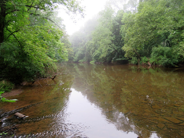
| Stony Brook |
 |
| Where the map shows a trail back over to the Lawrence Hopewell Trail, there was nothing but an overgrown field. |
 |
| I went back and followed the park app but no trail in sight and ended up at the same place as before. |
 |
| We just had to hack our way through the overgrowth up to the LHT. |
 |
| Equestrian District |
 |
| Entering Curlis Woods. |
 |
| Curlis Lake |
 |
| Coming back around along the other side of the Equestrian Center. |
 |
| Birds everywhere! |
 |
| Back at the dog park there were not that many dogs and the place is huge so we went in. |
 |
| Much better than the last dog park Brodie was at. He was not overwhelmed at all. |
 |
| He even made a few new friends ... |
 |
| ... who got him to give chase. |
 |
| Back along Rosedale Lake. |
 |
| Shade Shelter |
 |
| North Observation Tower |
 |
| Nature Blind |
 |
| Back at The Red Barn where we parked. |


