ABOUT THE PARK:
Swatara State Park - Pennsylvania DCNR
DIRECTIONS:
GPS Coordinates 40.480772, -76.531475
But.... don't rely on your GPS. Mine took me on a wild goose chase and fortunately I was familiar with the area so I was able to figure out how to go no matter how much my GPS protested. Google Maps gives accurate directions.
 |
| Swatara Rail Trail - Waterville Bridge Trailhead Parking |
TRAIL MAP:
Swatara State Park Trail Map - Pennsylvania DCNR
Powered by Wikiloc
HIKE DISTANCE:
3.4 miles of a planned 11-mile hike because of impassable Appalachian Trail section due to flooding.
Hiked together with 5.4 miles at SGL 211 - Stony Valley Rail Trail
THE HIKE:
I always bring along Plan B, Plan C and sometimes more because you never know what you might run into on a hike. After a week of thunderstorms there was more flooding in Pennsylvania than I had expected so having alternate plans paid off.
 |
| To start head towards the kiosk then turn left following the Appalachian Trail blazes ... |
 |
| ... doubling back towards the parking lot. |
 |
| Waterville Bridge |

 |
| Swatara Creek although it looked more like a river to me. The water was very high. |

 |
| Continuing on the AT ... |
 |
| ... and crossing Route 72. |
 |
| Some sections of trail were very wet. There should be a drought in August, not flooding! |
 |
| Water roaring down from higher up. |


 |
| Some side trails on the left to a creek. |

 |
| Coming out on AT which was full of construction trucks and equipment. |
 |
| A jog to the right on the road then left. |
 |
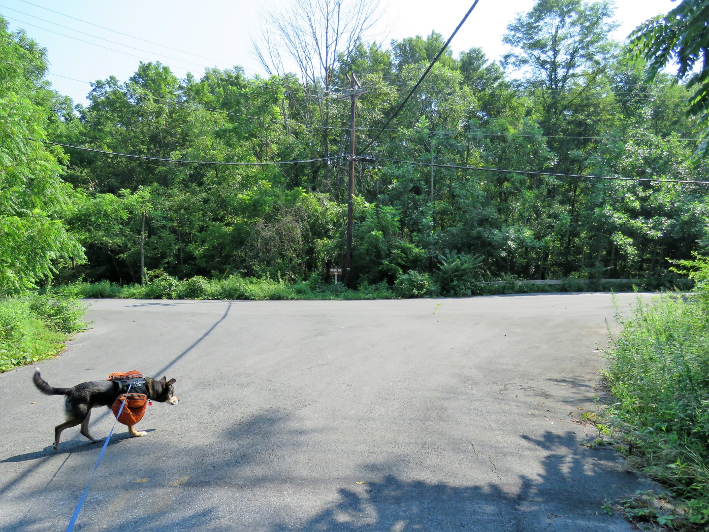
| Looking back at the parking lot - good thing I made note of it because in a few minutes I was going to realize I would need to park there on a day with no flooding to pick back up on this hike. |


 |
| It was muddy going under Route 443 but at least the water had drained down enough. |
 |
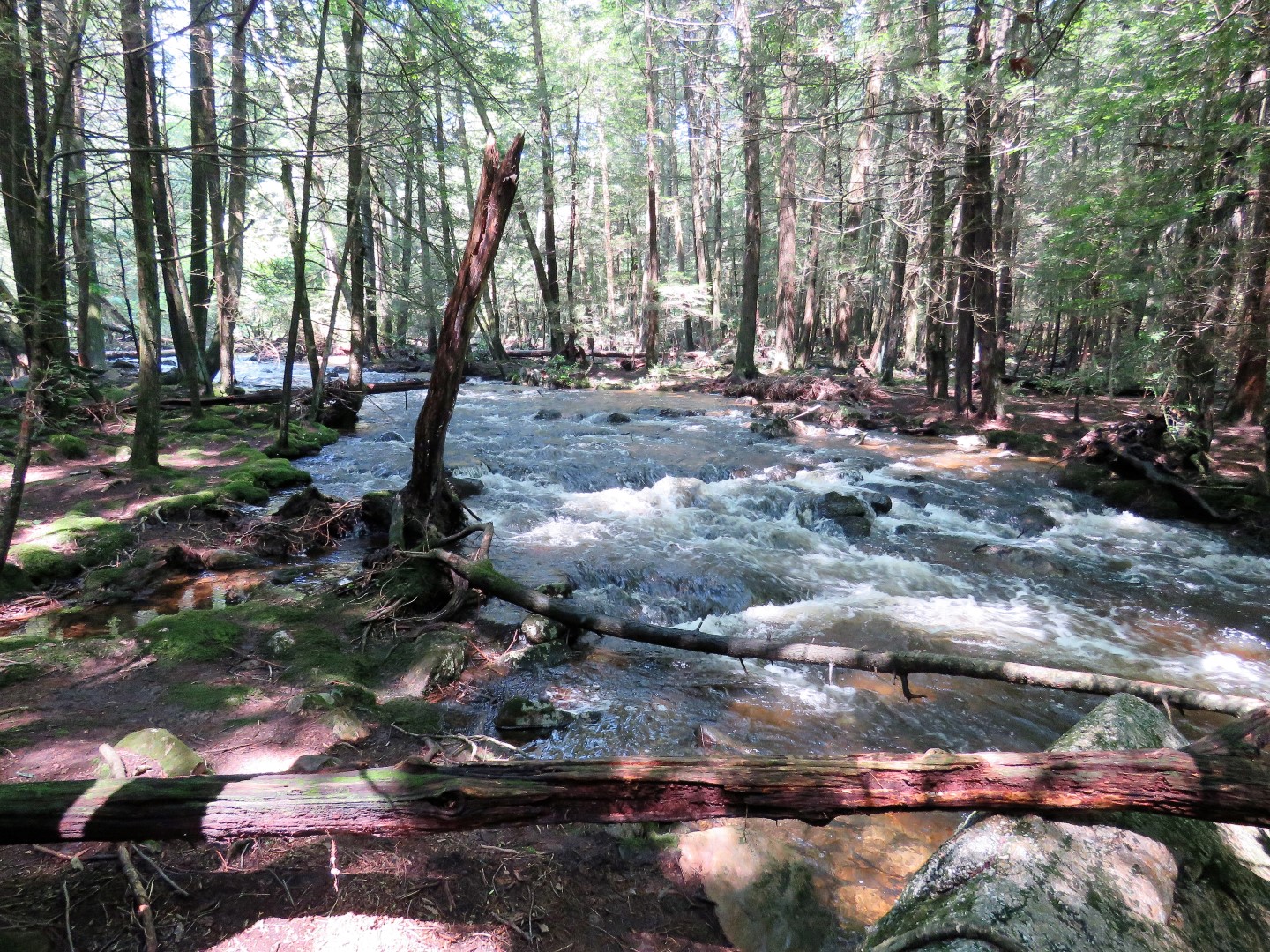
| Just after coming through the underpass, the AT was obliterated in deep flood water. |
 |
| Even though someone had placed branches across, I could see after that section of dry land, way more flooding and roaring whitewater on the other side. I was not going to chance it but Brodie ... |
 |
| See I did not think this was going to be a good idea. |
 |
| This was his worst nightmare but I am sure had had to agree that it felt pretty darned good on a hot and humid day. |
 |
| This is how I was planning on finishing the hike on our return route but now was as good a time as any. |


 |
| Either way comes out at the same place, we went left. |
 |
| Then right ... |
 |
| ... on the Swatara Rail Trail. |

 |
| Following along Swatara Creek. |
 |
| Down a side trail for a closer look. |

 |
| Back at the Waterville Bridge. |


 |
| Union Canal on the left. |
 |
| Back at the car and on to Plan B. |