ABOUT THE PARK:
Phoenicia - Mt. Tobias Wild Forest - NY DEC
DIRECTIONS:
This was a shuttle hike done with
Lynn, Glen and their dog, Trek, from Agile Trekker.
 |
| GPS Coordinates 42.076141, -74.227498 - We met at the Willow, NY post office (yes, that IS the post office) where we left my car and shuttled in Lynn and Glen's car to ... |
 |
| GPS Coordinates 42.138938, -74.211270 - Pull out parking on Notch Inn Road. You can't park in any further than this point. |
TRAIL MAP:
Northeastern Catskill Trails Map 141 - New York New Jersey Trail Conference
HIKE DISTANCE: 9 miles
THE HIKE:
This was an exhausting hike. It alternates between 2 miles at a time of sustained, fairly steep uphill followed by sustained, fairly steep downhill with not much of a break in between.
 |
| Shuttling to the start point in Lynn and Glen's car. |
 |
| From the pull out parking spot, continue up Notch Inn Road ... |
 |
| ... to where it turns right. At this point, turn left on to the trail. There is no sign. |
 |
| A short distance in, the yellow blazes begin. |
 |
| It's all uphill, sometimes on loose rocks ... |
 |
| ... other times on smoother trail surface. |
 |
| Half a mile in at the end of yellow, time for ... |
 |
| ... a break. |
 |
| Now continuing uphill to the right on the blue-blazed Warner Creek Trail/aqua-blazed Long Path. This is the only Long Path marker, it will be only blue markers from here on out. |
 |
| Lynn, Glen and Trek went on ahead of us. I stop too much to take pictures so it's just easier to split up and meet back up at the end. |
 |
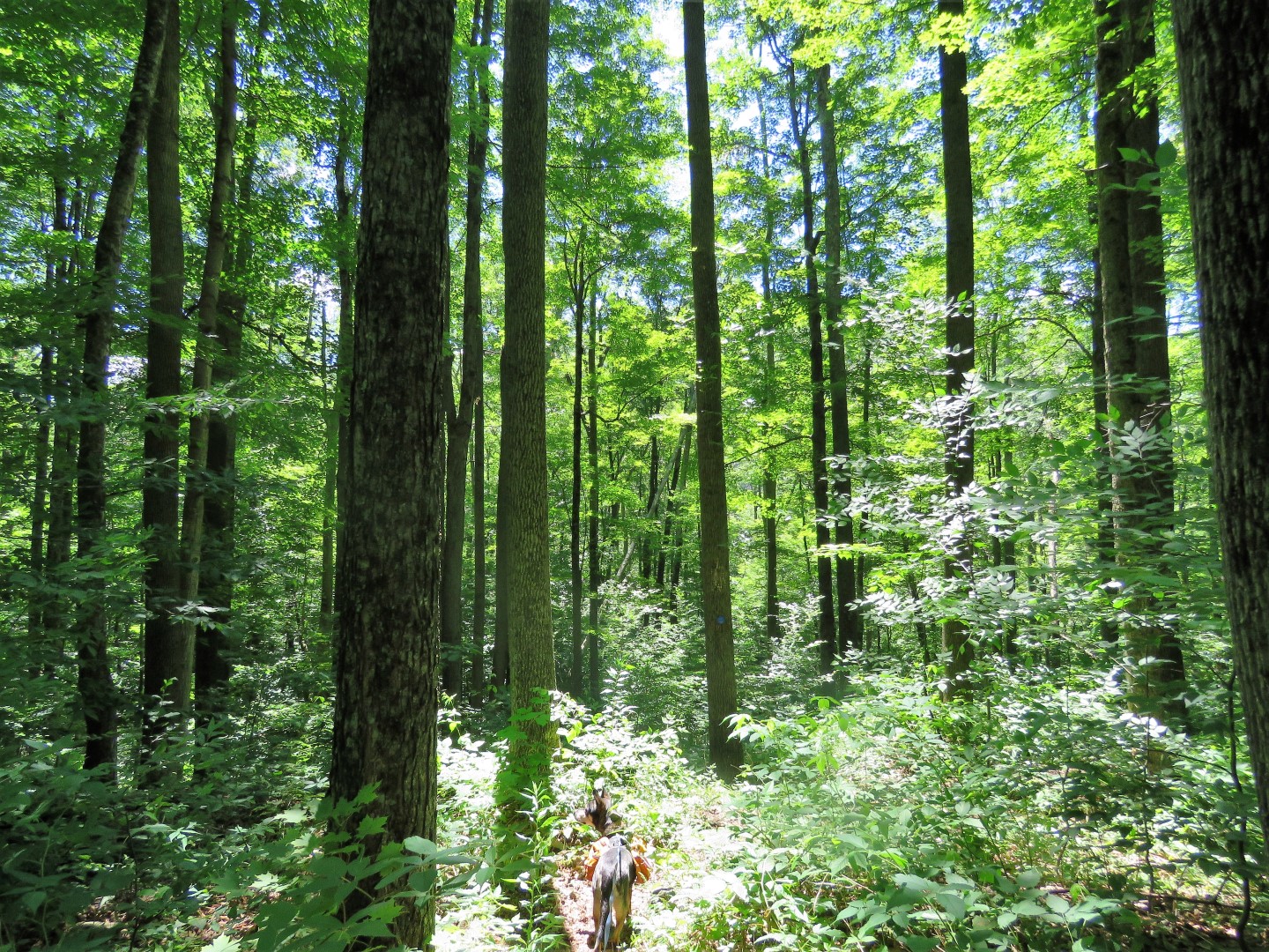
| Still going up. |
 |
| This hike has almost nothing in the way of views, just a few glimpses here and there trough the trees. |
 |
| I had told Lynn at the end of the hike that I got a bird but couldn't tell what it was until I could download it to my computer and was hoping it was something I had never seen before. Indeed, it turned out to be my first ever Black-throated Blue Warbler! |
 |
| A rocky climb up ... |
 |
| ... before things level out for a bit ... |
 |
| ... to the summit of Silver Hollow Mountain. After just under 2 miles, already 1,186 feet of elevation gain. |
 |
| Then it's downhill for the next 2.5 miles for a drop of about 1550 feet. And you just know the entire time you are going to have to eventually climb back up again. |
 |
| After crossing a rocky wet area ... |
 |
| ... with a nice log to sit on while soaking one's aching feet in a few inches of ice cold water flowing underneath ... |
 |
| ... a rock hop over Warner Creek. |
 |
| Brodie actually walked right through the water. |
 |
| Warner Creek |
 |
| The trail continues along Warner Creek ... |
 |
| ... then switchbacks up in the other direction. |
 |
| This is the uphill I knew was inevitable. |
 |
| The trail switchbacks up through an old bluestone quarry. |
 |
| Tool marks from the quarrying days. |
 |
| We took LOTS of breaks on the way up. I was afraid we might be hours behind Glen and Lynn but turns out they were taking just as many breaks and we were only 10 minutes behind them. |
 |
| At last, our left turn on the Willow Trail, all downhill ... |
 |
| ... for the last 2.7 miles to the Willow post office. |
 |
| There's stinging nettle in there. Trust me, I know this firsthand. Ouch. |
 |
| A view ... |
 |
| ... of Overlook Mountain with the communications and fire towers. |
 |
| Coming up on ... |
 |
| ... Jessup Road. |
 |
| It starts out as a gravel road ... |
 |
| ... then becomes paved. |
 |
| Just up ahead ... |
 |
| ... our car at the Willow post office ... |
 |
| ... and Lynn, Glen and Trek waiting for us. |
 |
| The highlight of the hike was when we were shuttling back in my car and I had to hit the brakes as a bear crossed right in front of us. He disappeared on the other side of the road somewhere in the red circle. I was a nanosecond too late with grabbing the camera and missed getting him in the picture. |
 |
| Tired hikers shuttling back. |