ABOUT THE PARK:
Five Rivers Metroparks Engelwood - metroparks.org
Englewood Metropark User's Guide
DIRECTIONS:
GPS Coordinates 39.88309, -84.28631
 |
| There are many places to park but I chose the lot with restrooms. |
TRAIL MAP:
Englewood Metropark
Powered by Wikiloc
HIKE DISTANCE: 4.6 miles
THE HIKE:
 |
| To break up our drive on Day 1 of out trip home, we stopped to hike the green trail at Englewood Metropark outside of Dayton, Ohio. |
 |
| The green trail passes wetlands. |
 |
| Then heads to Stillwater River. |
 |
| Stillwater River |
 |
| The trail follows the river for a while. |
 |
| Up to this point, it was quite muddy and the mud just kept accumulating. It felt like I was wearing ankle weights. |
 |
| Some rocks at an outlet - a good place to clean off some mud and by the looks of it, others before me had done likewise. |
 |
| After the outlet, the trail was much drier and there was no more mud accumulation. |
 |
| Trail intersections are numbered and correspond to numbers on the map. |
 |
| White joins in. |
 |
| Northern Flicker |
 |
| Black walnuts were dropping everything. I don't know how we managed not getting clobbered in the head by one. |
 |
| Coming up on Martindale Falls. |
 |
| Temps had been in the 20's overnight and it was only in the 30's during the day so waterfalls had icicles. |
 |
| Up the steps to ... |
 |
| ... the top of Martindale Falls. |
 |
| Continuing on. |
 |
| With the leaves down it's easy to see how high up the trail is. |
 |
| Yellow joins in. |
 |
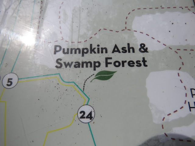
| A boardwalk through Pumpkin Ash & Swamp Forest. |
 |
| Lots of trees had these signs on them. |
 |
| Patty Falls |
 |
| A viewing deck at the bottom of Patty Falls. |
 |
| A short distance along on green ... |
 |
| ... we crossed Patty Road. |
 |
| The top of Oak Falls. |
 |
| There is a side trail down the far side of Oak Falls but not much to see. |
 |
| Another trail user. |
 |
| At this intersection the green trail turns right ... |
 |
| ... with blue and red joining in but ... |
 |
| ... I decided to go left on red to extend the hike a little. |
 |
| Red ends at the road where we turned right ... |
 |
| ... and followed along the reservoir. |
 |
| Some footpaths lead down to the reservoir. |
 |
| Just before the intersection we took a service road to cut off some of the road walk. |
 |
| This led right back to where I parked. |


