

ABOUT THE PARK: New York State Office of Parks, Recreation and Historic Preservation
DIRECTIONS:
GPS Coordinates: 41.19865 -74.12956
 |
| Lake Sebago Boat Launch Parking - I was the second car there at 7:30 AM, the lot was almost full at noon. |
TRAIL MAP:
Southern Harriman Bear Mountain Trails Map 118 - New York New Jersey Trail Conference
Powered by Wikiloc
HIKE DISTANCE: 7.4 miles
THE HIKE:
 |
| Lake Sebago at the crack of dawn. |
 |
| Walking back out of the boat launch parking towards Seven Lakes Drive. |
 |
| Directly across Seven Lakes Drive, the blue-blazed Seven Hills Trail. |


 |
| Shortly before turning left on the yellow-blazed Buck Trail, a buck! |

 |
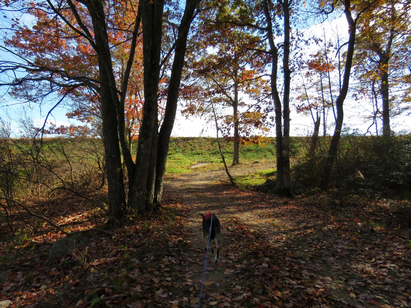
| Left on the yellow-blazed Buck Trail. |


 |
| At the wide woods road which is Pine Meadow Road West, left for just a few steps... |
 |
| ... then right on a more narrow woods road which is Pine Meadow Road East. |
 |
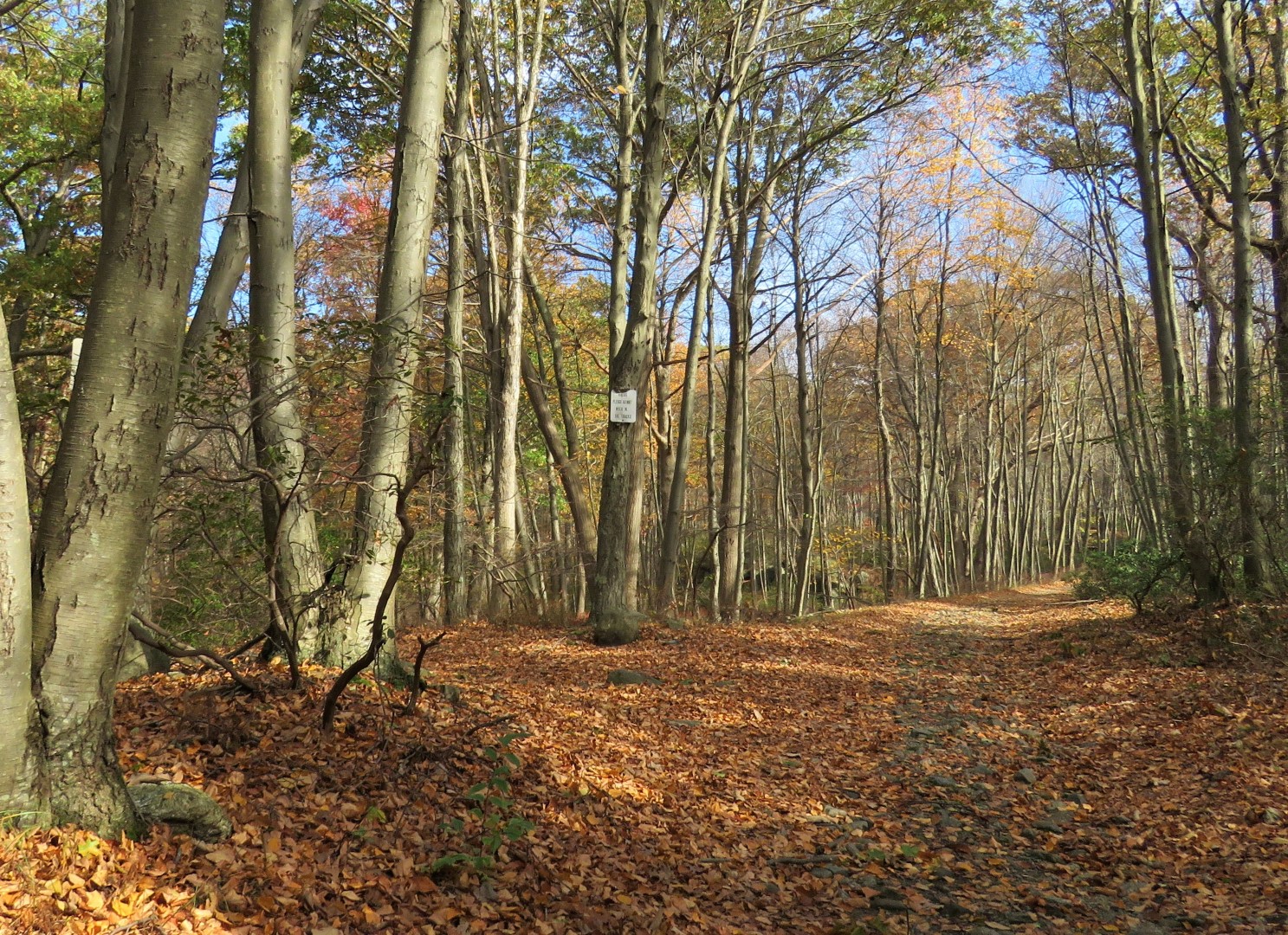
| Watch for the red-blazed T-MI trail to cross over - it's more obvious on the left but here we needed to... |
 |
| ... turn right. |

 |
| Brodie can't pass a boulder without posing on it. |


 |
| Crossing over Pine Meadow Road West. |

 |
| A geriatric dragonfly still hanging on at the end of October. |
 |
| We overlapped a couple of spots where Shawnee and I hiked before but she is always still with us. |


 |
| We went left on the blue-blazed Seven Hills Trail to the overlook since we were so close. |


 |
| That is Lake Wanoksink barely visible through the trees where we would be heading next. |
 |
| Lake Sebago comes into view on the right. |
 |
| There were lots of hikers at the overlook and we took turns taking each others' pictures. |
 |
| Lake Sebago |
 |
| Heading back on blue, coming up on these boulders, an unmarked trail to the right. |
 |
| At times it is woods roadish... |
 |
| ... at other times a little overgrown. |
 |
| It's not a maintained trail but it's still easy enough to follow. |
 |
| There are even old gate posts just before ... |
 |
| ... Pine Meadow Road West where we turned right (this view is left). |

 |
| Coming up on Lake Wanoksink. |
 |
| Continue beyond the outlet at the dam ... |
 |
| ... then left at the fork which leads to ... |
 |
| ... the top of the dam. |
 |
| On the dam at Lake Wanoksink. |
 |
| We would have gone to the far end but there were people with a dog there so we just went half way. |
 |
| Heading back across the dam. |


 |
| Back at this sign, turn left ... |


 |
| ... then right. We had come in on the left on that unmarked trail. Right will be unmarked for a while also. |


 |
| At Monitor Rock on the right... |
 |
| ... the unmarked trail becomes the blue-blazed Seven Hills Trail. |

 |
| Now retracing back downhill to Lake Sebago. |

 |
| Lake Sebago |
 |
| No matter how far we hike, Brodie keeps up his pace but he sleeps all the way home. |