ABOUT THE PARK:
DIRECTIONS:
GPS Coordinates 40.65644, -75.48353
 |
| Water Street Parking |
TRAIL MAPS:
HIKE and BIKE DISTANCE: 15.3 miles
THE HIKE and BIKE:
Every three months I get a cortisone injection in my ankle for arthritis and it works amazingly well allowing me to hike completely pain free for 10 weeks. There are 2-3 weeks until the next injection when I have to manage with meloxicam and that doesn't work as well. I came up with a solution: Buy a bicycle. So I will be switching it up to biking when that injection has worn off and to give my ankle a break off and on. Often times there are hiking trails off of bike paths so I'll incorporate those when I can. And that is what this hike and bike was.
 |
| And here she is. I started left on the rail trail to go clockwise around the loop portion. |
 |
| There are many kiosks, benches and things of interest along the way. |
 |
| Off to the left there was a butterfly garden and bird area. |
 |
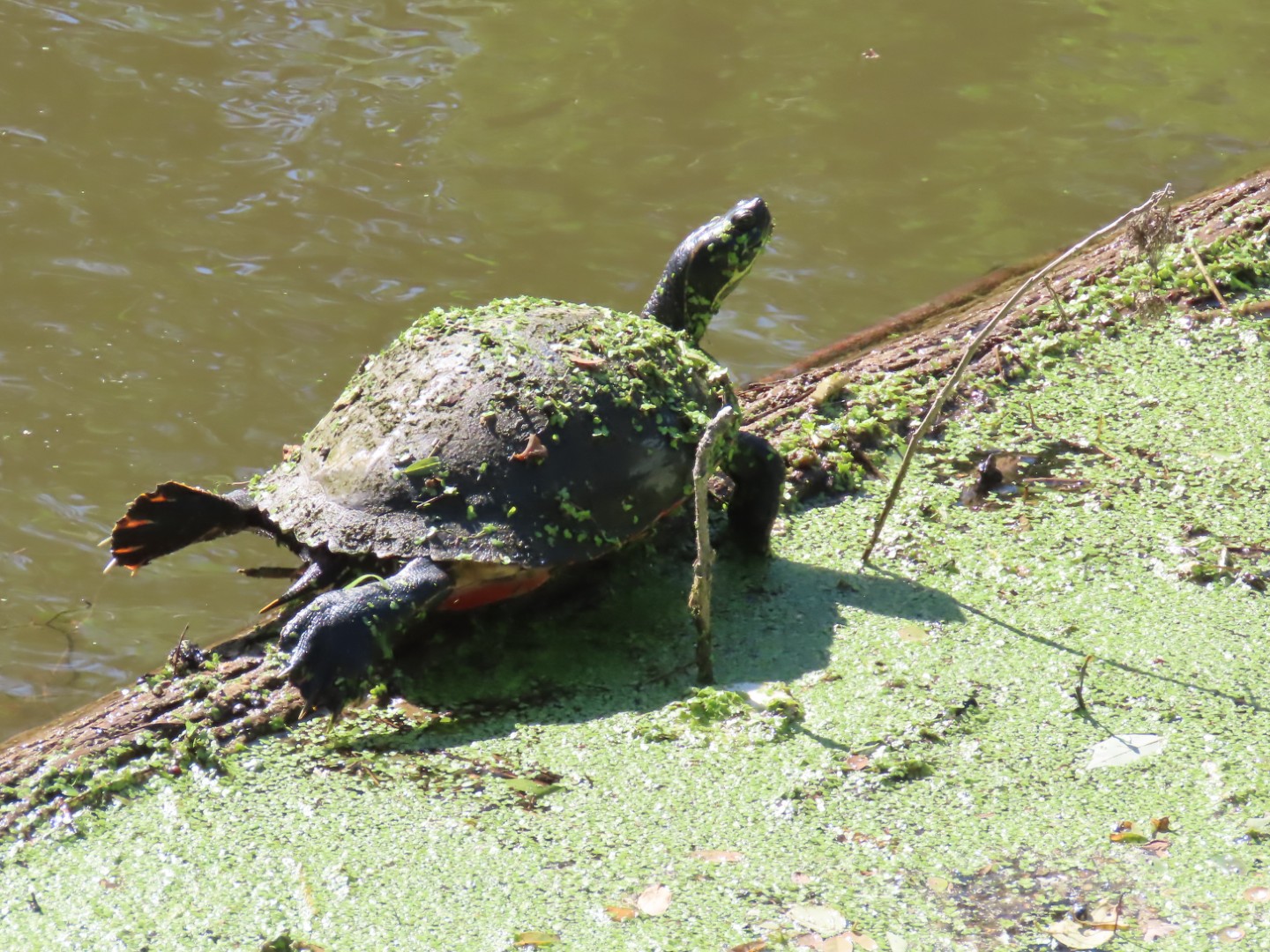
| Indeed, there were birds down there. |
 |
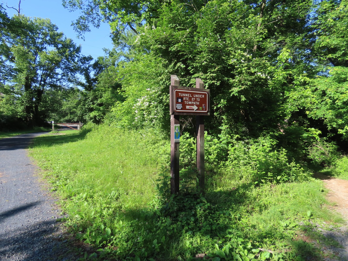
| There are steps to go down there but there was one thing lacking throughout this trail - not a single place to park bikes so you can walk the nature trails off of the rail trail. |
 |
| There were pretty many road crossings which was good because my mount and dismount needed a lot of practice. |
 |
| This is the intersection with the loop and spur trails. I would be finishing the loop later but now left on the spur. |
 |
| In a very short distance entering Whitehall Parkway, a nature preserve on either side of the rail trail. |
 |
| Coplay Creek |
 |
| I decided to ride the spur trail first and see if I could walk the Whitehall Parkway trails on the way back. |
 |
| At this intersection ... |
 |
| ... a right turn leaving the rail trail briefly leads to the Toxell-Steckel House. |
 |
| After trying to get a face shot of a white-breasted nuthatch, to no avail. |
 |
| “God protect this house from danger, and lead our souls into the halls of heaven. Johan Peter Troxell and Maria Magdala.” |
 |
| Continuing on the rail trail. |
 |
| Barn Swallow - there were lots of them along this trail. |
 |
| Coming up on some interesting ruins. |
 |
| There is only a very short section along a road. |
 |
| The last crossing is the worst one but there are pedestrian lights. If drivers care to stop for them. Some did, some didn't. |
 |
| The end of the trail. |
 |
| Heading back. |
 |
| Soon after entering back into Whitehall Parkway a trail leave so the left. |
 |
| It follows along Coplay Creek. A bike rack would have been really nice here but no such thing to be found so I walked the bike. |
 |
| Uh oh. |
 |
| Double uh-oh on the other side of the bridge where the steps and a good chunk of earth are missing. |
 |
| It was actually harder to get myself down over the huge hole at the bottom than it was to get the bike down. |
 |
| Left on the rail trail ... |
 |
| ... then right opposite train car ... |
 |
| ... on a gravel path. |
 |
| I locked the bike to a tree. It was the best I could think of to do. |
 |
| Now off on foot through the Bluebird Meadow. |
 |
| No bluebirds. |
 |
| Ah a footpath. Yes, please! |
 |
| They are actually mountain bike trails but I can promise you will not catch me mountain biking. |
 |
| Ruins along the way. |
 |
| Quarry |
 |
| I went back to get my bike then headed over to where there are supposed to be overlooks. |
 |
| Like about here somewhere. |
 |
| Well, I suppose there is no longer an overlook. |
 |
| This was a cute idea. They are making a bird blind out of ruins. |
 |
| No birds today. |
 |
| Continuing on the rail trail. |
 |
| At the intersection with the loop portion, I kept left to finish the loop. |
 |
| Just across this intersection is Saylor Park. |
 |
| Coming back up on the parking lot. |