ABOUT THE PARKS:
Chubb Park - Chester Trails and Parks
Patriots' Path - Chester Trails and Parks
Tanners Brook Preserve - Chester Trails and Parks
DIRECTIONS:
GPS Coordinates 40.781867, -74.704023
 |
| Patriots' Path Parking in Chester, NJ |
TRAIL MAPS:
Chubb Park - Chester Trails and Parks
Patriot's Path and Tanners Brook Preserve - Chester Trails and Parks
Tanners Brook Preserve - Chester Trails and Parks
Patriots' Path West - Morris County Parks Commission
Powered by Wikiloc
HIKE DISTANCE: 8.75 miles
THE HIKE:
 |
| From the parking lot ... |
 |
| ... the white-blazed Patriots' Path follows a rail bed. |
 |
| A bridge on the left ... |
 |
| ... leads to Chubb Park. |
 |
| We followed the paved path around the lake ... |
 |
| ... then the main park road straight to ... |
 |
| ... where it meets up with a red-blazed Patriots' Path spur along the field towards the playground. |
 |
| The woods road will come out on a paved road with no blazes where we kept right. |
 |
| There is a path in the power cut that leads back to the white-blazed Patriots' Path where we started but we continued straight through the power cut... |
 |
| ... following the paved road. |
 |
| A short distance after the power cut, the blue-blazed Patriots' Path spur crosses over; we turned right. |
 |
| The blue spur ends up on the rail bed where straight ahead would take us back to our car but that is the way we would be finishing later. |
 |
| We went to where the blue trail ends and the white-blazed Patriots' Path turns left leaving the rail bed. |
 |
| The white-blazed Patriots' Path is now a footpath through pretty woods. |
 |
| Raging waterfalls. |
 |
| Uh oh. It had rained about 2 inches overnight on top of about 7 inches of recent snow melt so the trail was quite flooded and this bridge was completely under water. |
 |
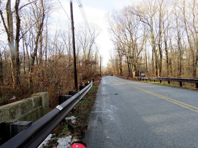
| We bushwhacked around to Furnace Road where the Patriots' Path crosses over at the far end of the guardrail. |
 |
| Entering the Chester Furnace Historical Site which runs through Black River WMA. |
 |
| There are nice interpretive signs along the way. |
 |
| The reference map in the kiosk is hard to read and I could not find it online. |
 |
| The trail passes by several historical ruins. |
 |
| Central Railroad of New Jersey bridge over the Black River. |
 |
| Black River |
 |
| This red-tailed hawk had been sitting atop that snag but as soon as I got him in the viewfinder, he took off with no time for the camera to focus. It did capture that red tail, though! |
 |
| A gorgeous pine grove. |
 |
| The trail comes out on to Tanners Brook Road. |
 |
| It's a short road walk to just beyond where the pavement ends. |
 |
| The Black River WMA is on the right, the left, where the trail heads, is Tanners Brook Preserve with different hunting regulations. (Hunting is allowed on Sundays in the WMA.) |
 |
| There had been so many wet and muddy spots that crossing that sunken bridge on the way back might help clean us up a bit. |
 |
| I did not see it while I was taking this picture but Brodie sure did - a wild turkey in the power cut just out of sight. |
 |
| The trail climbs up to the top of a hill ... |
 |
| ... then descends on the other side into more wetness. |
 |
| Crossing over the golf course path ... |
 |
| A paved path around the park. The Patriots' Path continues out the park entrance but we turned left and continued on the paved loop. |
 |
| After looping around ... |
 |
| ... retracing on the Patriots' Path. |
 |
| White-breasted Nuthatch |
 |
| Now coming up on the sunken bridge where he had bushwhack ..ed around earlier. My feet were already muddy and soaking wet so... |
 |
| ... over we went in ankle deep and COLD water! |
 |
| At the rail bed (where blue ended from earlier in the hike) we turned left on the white Patriots' Path. |
 |
| It's a straight shot ... |
 |
| ... all the way back to the car. |


