ABOUT THE PARK:
Harriman State Park - New York State Office of Parks, Recreation and Historic Preservation
DIRECTIONS:
GPS Coordinates 41.11839, -74.15711
 |
| D Lot Commuter Parking. Although no parking is indicated on the trail map for the southern end of the S-B Trail, the D Lot is steps away and according to the Village of Suffern parking web site (www.suffernparking.com click on "Parking Policy" in top menu): "No permits are required after 4:00 p.m. for all Village of Suffern Parking Lots as well as all day on weekends and Federal Holidays." |
TRAIL MAP:
Southern Harriman Bear Mountain Trails Map 118 - New York New Jersey Trail Conference
HIKE DISTANCE: 7.5 miles (3.75 miles each way)
THE HIKE:
 |
| From the D Lot cross Orange Avenue and turn left. |
 |
| A short distance ahead ... |
 |
| ... the trail sign and ... |
 |
| ... the trail head. You can see the parking lot off to the right, that is how close it is. |
 |
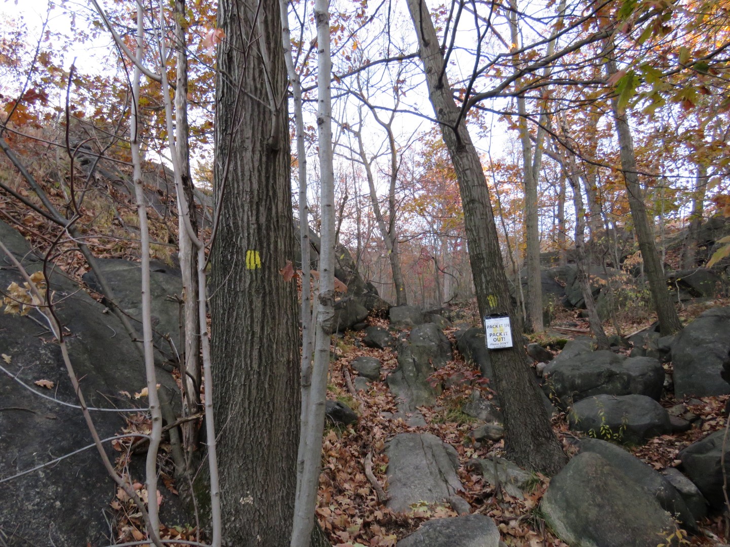
| The trail starts off steep and continues that way for about half a mile. It's downright treacherous with thick leaf drop, like stepping on ice. Going up wasn't as bad as going back down at the end of the hike. |
 |
| Up, up, up ... |
 |
| Nearing the top, the beginning of views... |
 |
| ... that open up the higher you climb. |
 |
| After the views the trail levels out. |
 |
| Harriman State Park is a popular place where it is hard to find solitude but this would definitely be the trail for that - it's too far from the other trails and nobody seems to know about being able to park in the commuter lot on weekends. The only other hiker I came across had come from the train station. |
 |
| Gas Pipeline |
 |
| Crossing a power cut. |
 |
| Kitchen Stairs |
 |
| This was well off the trail and I would have never seen it with leaves on the trees. Zoomed in to get a look. |
 |
| Although the trail is pretty level, it does go up and down over rises with a scramble here and there but nothing like the beginning of the hike. |
 |
| Another gas pipeline. |
 |
| And another power cut. |
 |
| Going into ... |
 |
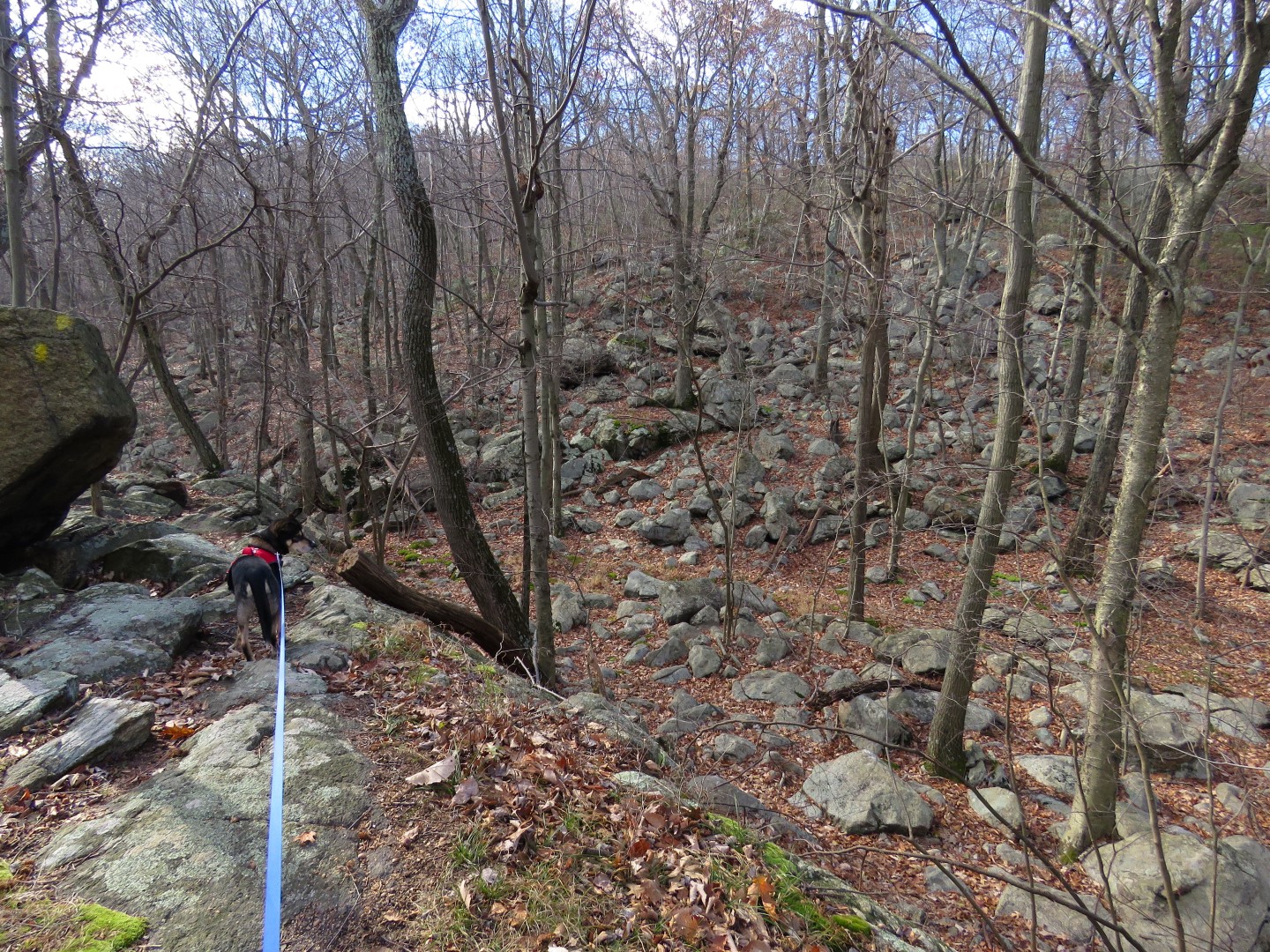
| Valley of Dry Bones |
 |
| Climbing up out of the Valley of Dry Bones. |
 |
| We continued to the top of the next rise to the boulder up ahead where the trail turns right, took a break and headed back. |
 |
| Heading back through the Valley of Dry Bones. |
 |
| Back through the power cut. |
 |
| Power cut view. |
 |
| There were a couple of spots where I had to sit and slide down on the leaves. |
 |
| Coming back up on the views. |
 |
| The trail goes up and over the boulder - it didn't look that way on the way up! |
 |
| Going down - no pictures here, it was too hard to keep from sliding and falling. |
 |
| All the way down and heading back to the car. |