ABOUT THE PARK:
Ramapo Mountain State Forest - NJ Division of Parks and Forestry
DIRECTIONS:
GPS Coordinates 41.04742, -74.25130
 |
| Parking lot on Skyline Drive. |
TRAIL MAP:
North Jersey Trails Map 115 - NYNJ Trail Conference
Ramapo Mountain State Forest Trail Map (free map) - NYNJ Trail Conference
HIKE DISTANCE: 6.65 miles
THE HIKE:
Shawnee had just hiked 2 days prior and had a Christmas Day function to attend at cousin Sebastian's house in the afternoon so she sat this one out which allowed me to do a more difficult hike.
 |
| Several short trails from the parking lot lead to the kiosk and ... |
 |
| ... the yellow-blazed Hoeferlin Trail to the right of the kiosk. (No bears were seen during this hike.) |
 |
| Again, I was there at the crack of dawn just as ... |
 |
| ... the sun started to rise. |
 |
| It was very icy in spots so it was constantly on and off with the Kahtoola microspikes. |
 |
| There really is nothing more beautiful than the woods at sunrise. The bonus is there is nobody else around that early. |
 |
| At the blue-blazed Macevoy Trail ahead I would have turned left but went right on blue/yellow for a short distance... |
 |
| ... to Ramapo Lake from the dam. |
 |
| Retracing on blue/yellow where I crossed paths with another early morning hiker - the only other person I saw until the last mile of the hike. |
 |
| Passing where I came down from yellow on the left, keeping straight on blue. |
 |
| Just after rock hopping this creek... |
 |
| ... left on the white-blazed Todd Trail. |
 |
| The Todd Trail parallels the creek for a while. |
 |
| The trail leaves the creek and climbs back up to the top, |
 |
| I assume these are park vehicle tracks since this is not a place where there would be any traffic. |
 |
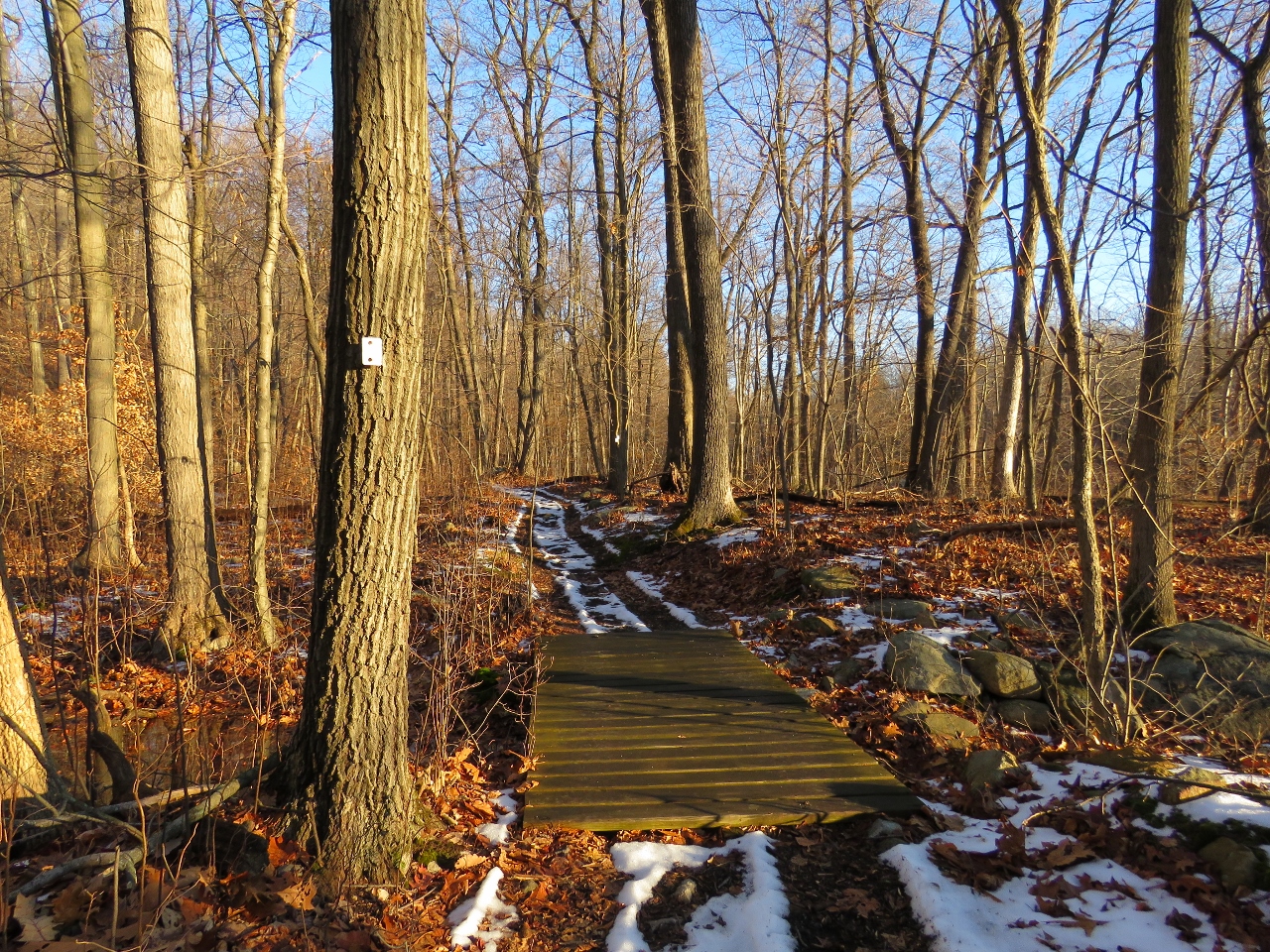
| A few steps after crossing this bridge the white trail leaves the woods road to the right. |
 |
| And so did a raccoon. |
 |
| In a short distance the white trail crosses over Skyline Drive. |
 |
| Some views near the top. |
 |
| All the way at the top of the ascent it's open with winter views. |
 |
| White turns left when yellow begins; I took yellow. |
 |
| Todd Lake |
 |
| At the far end of Todd Lake a red trail, not on the map, starts to the left. I later passed where it came out on orange so it is apparently a shortcut past Lake Tamarack over to orange but I continued on yellow. |
 |
| Another look back at Todd Lake |
 |
| A water tower near Todd Lake. |
 |
| A couple of creek crossings with pretty cascades. |
 |
| All you can hear in this section is babbling brook sounds. |
 |
| Before I turned left on white, I followed yellow/white a short distance to... |
 |
| ... a millstone. |
 |
| Heading back to white. |
 |
| Based on the faded sign leaning to the left of this boulder ... |
 |
| ... this must be Rattlesnake Cave and Balanced Rock. |
 |
| White crosses over orange, I turned left on orange and this is where I ran into more people coming up from the parking lot with more to follow. It gets busy here later in the day. |
 |
| You know, it was not even on my mind and I was not even looking in that direction. Something just made me turn my head far to the right and there it was. |
 |
| It's like I see them before I even see them. |
 |
| I don't think that would offer much protection against ticks. |
 |
| Here is the other end of that red trail that is not on the map. |
 |
| Coming up on Skyline Drive ... |
 |
| ... and back to the parking lot on the other side, which at noon was packed. I was the only one there at 7 AM. |